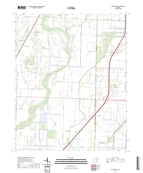
2024 Map of Swifton East
USGS Topo · Published 2024About this map
Village Creek and its many tributaries, including Deep Ditch and Willow Ditch, define the agricultural landscape of this Jackson County region. The map reveals a highly managed hydrological system typical of the Arkansas Delta, where natural waterways like Worthington Slough and Gunner Slough exist alongside engineered drainage projects like Maple Ditch. The rural character is punctuated by family and community landmarks such as Arnold Cem and Worley Cem, which serve as vital points of reference for local genealogy.
Find a feature on this map
50 named features on this map. Tap any name to fly to it.
Don’t see what you’re looking for? This feature index may not catch every label — zoom into the map to look around manually.
Map Details
Editions of this 2024 Swifton East Map
This is the sole edition of this map. No revisions or reprints were ever made.
Other maps of this area

1935 · Sedgwick
USGS Topo · 1:62,500

1935 · Alicia
USGS Topo · 1:62,500

1935 · Tuckerman
USGS Topo · 1:62,500

1939 · Weiner
USGS Topo · 1:62,500

1953 · Memphis
USGS Topo · 1:250,000

1956 · Memphis
USGS Topo · 1:250,000

1959 · Weiner
USGS Topo · 1:62,500

1959 · Sedgwick
USGS Topo · 1:62,500

1960 · Weiner
USGS Topo · 1:62,500
1960 · Sedgwick
USGS Topo · 1:62,500