2000s (21st Century) Maps of Monroe County, Arkansas
Explore 105 historic maps of Monroe County from the 2000s (21st Century). These maps offer a rare glimpse into what life looked like during the 2000s — showing old roads, neighborhoods, homes, and landmarks that have changed or disappeared over time.
Whether you're researching your family's past, planning a metal detecting trip, or studying how Monroe County's landscape evolved across the 2000s, these high-resolution maps are a powerful tool for exploring the history of this region.
- Focus on a specific era: All maps on this page are from the 2000s, giving you a focused view of this time period.
- See what’s changed: Compare century-old streets, trails, and buildings to today's modern landscape using overlays and satellite layers.
- Research with precision: Use these maps for genealogy, historical research, land use analysis, or educational projects.
- View, download, or print: Maps are fully viewable online in high resolution, and can be downloaded or printed for your own records.
Start exploring Monroe County's history through authentic maps from the 2000s. This is your window into the past.
Monroe County, AR maps
(105)- 2011 Map of Brinkley, 2011 Print
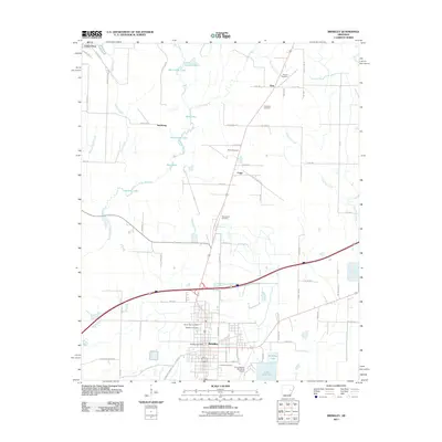 2011 Brinkley2011 Print · USGSThe Monroe County landscape near Brinkley is captured here during the early twenty-first century, showing a region defined by its bayous and small rural communities. Researchers can locate numerous local burial sites like Macedonia Cemetery and family-named landmarks like Henard Cemetery.
 - 2011 Map of Wheatley, 2011 Print
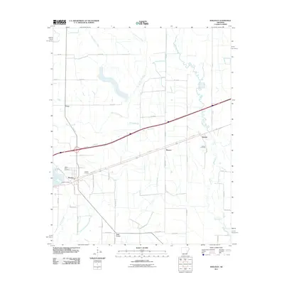 2011 Wheatley2011 Print · USGSWheatley and the surrounding St. Francis County bottomlands are captured here at the start of the 2010s. Researchers can locate family landmarks like Waldrop Cemetery and the Goodwin Cemeteries or trace the rural corners of Blossom and Nash Corner.
 - 2011 Map of Monroe, 2011 Print
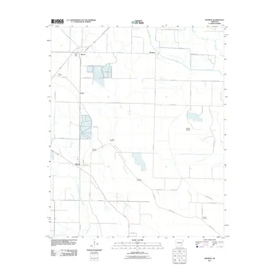 2011 Monroe2011 Print · USGSThis Lee County landscape at the start of the decade shows a community defined by its watercourses and rural industry. Genealogists can trace family footprints at Bonds Cemetery and New Life Cemetery or locate the old Monroe Post Office.
 - 2011 Map of Indian Bay SE, 2011 Print
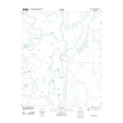 2011 Indian Bay SE2011 Print · USGSThe Arkansas Delta riverfront is captured here in the early twenty-first century, revealing a landscape defined by the shifting waters of the White River. Genealogists and local historians can locate the Chute Cemetery, Jones Cemetery, and the river landing at Hortons Landing.
 - 2011 Map of Park Grove, 2011 Print
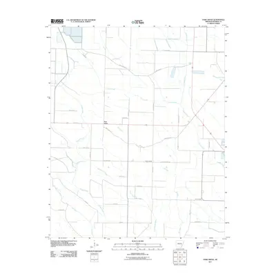 2011 Park Grove2011 Print · USGSPark Grove and the surrounding Monroe County bottomlands are captured here in the early 21st century, showing a landscape shaped by Delta waterways. Genealogists and researchers can locate Shiloh Cemetery and Dyer Cemetery or trace the winding course of Big Slosh.
 - 2011 Map of Aberdeen, 2011 Print
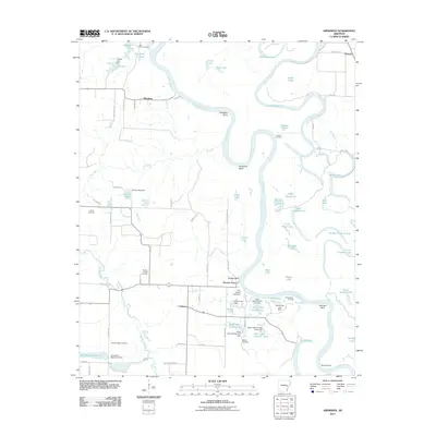 2011 Aberdeen2011 Print · USGSMonroe County river life is documented here during the early twenty-first century, centered on the winding oxbows of the White River. Researchers can trace old river crossings and burial grounds like Preston Ferry, Roe Cemetery, and Hunters Chapel Cemetery.
 - 2011 Map of Keevil, 2011 Print
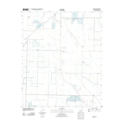 2011 Keevil2011 Print · USGSMonroe County at the turn of the decade is shown here as an intricate network of drainage canals and small agricultural hamlets. Genealogists can locate numerous namesake burial sites including Fitzhugh Cemetery and trace the old rail lines along Mopac Rd.
 - 2011 Map of Holly Grove, 2011 Print
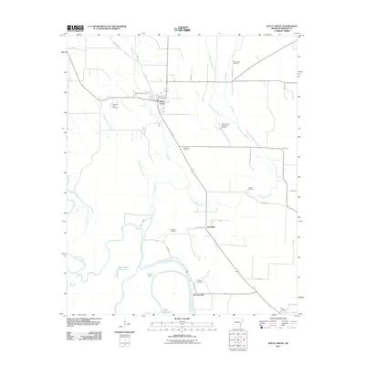 2011 Holly Grove2011 Print · USGSMonroe County at the start of the 2010s reveals a classic Delta landscape of bayous and small settlements. Genealogists can trace family connections at Travelers Rest Cemetery and Redmans Cemetery or explore the water-bound hamlets of Lawrenceville and Deep Elm.
 - 2011 Map of Crocketts Bluff, 2011 Print
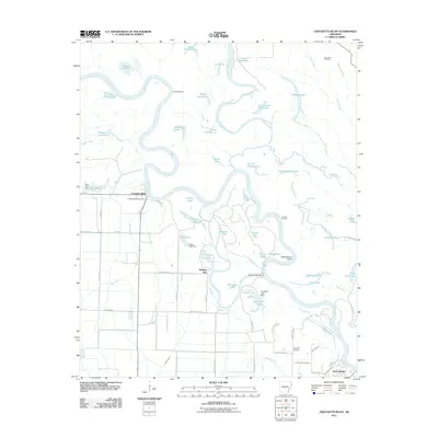 2011 Crocketts Bluff2011 Print · USGSThe Arkansas river bottomlands around Crocketts Bluff are captured here in the early twenty-first century. Researchers can trace local heritage through sites like Saint John Cemetery and the riverfront settlement of Saint Charles.
 - 2011 Map of Clarendon, 2011 Print
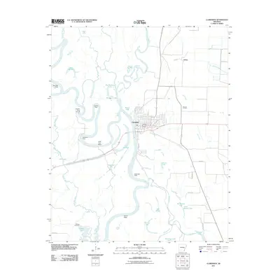 2011 Clarendon2011 Print · USGSClarendon and the surrounding Monroe County floodplain are documented here at the start of the 2010s, showing a landscape shaped by the White and Cache Rivers. Genealogists and researchers can trace local family landmarks and water bodies like Bateman Cemetery, Jeffries, and Big Baptize Lake.
 - 2011 Map of Garrett Grove, 2011 Print
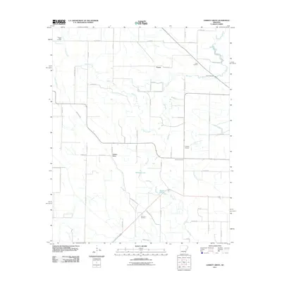 2011 Garrett Grove2011 Print · USGSGarrett Grove and the surrounding Lee County countryside are documented here in the early 2000s, showing a landscape shaped by the Arkansas Delta's drainage. Researchers can trace rural lineages through numerous local sites including Saint Paul Cemetery, Hopper, and Garrett Cemetery.
 - 2011 Map of Roe, 2011 Print
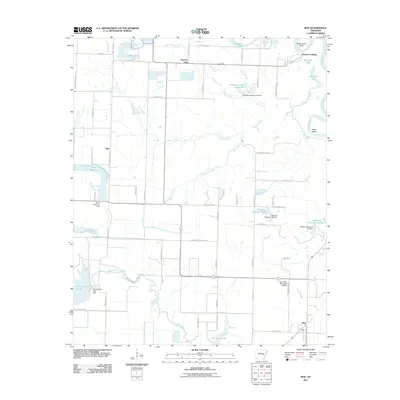 2011 Roe2011 Print · USGSThe Monroe County delta comes into focus here in the early twenty-first century, showing a landscape defined by industrial-scale irrigation and river bends. Local historians can trace the rural infrastructure around Roe and Vaby, from the Clarendon Municipal Airport to the intricate waters of Peckerwood Lake and the White River.
 - 2011 Map of De Witt NE, 2011 Print
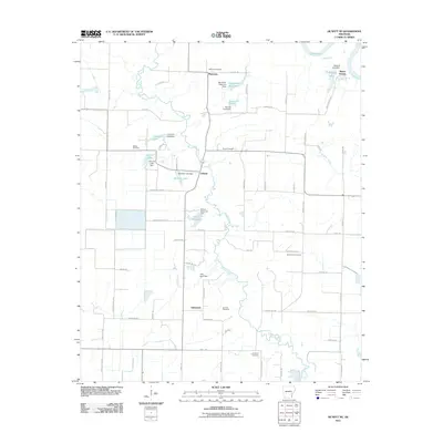 2011 De Witt NE2011 Print · USGSAgriculture and water management define this part of Arkansas County in the early twenty-first century, where the White River meets a network of local reservoirs. Researchers can locate several family and community landmarks, including Wofford Cemetery, Mount Adams, and the settlement of Immanuel.
 - 2011 Map of Des Arc East, 2011 Print
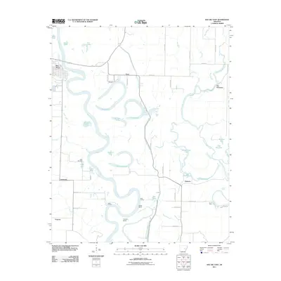 2011 Des Arc East2011 Print · USGSThe oxbows of the White River dominate this early 21st-century landscape east of Des Arc. Researchers can trace old river landings such as Wilds Landing, find the Saint Luke Cemetery, or locate small communities like Erwin and Gospoda.
 - 2011 Map of De Valls Bluff NE, 2011 Print
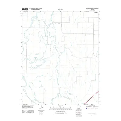 2011 De Valls Bluff NE2011 Print · USGSThe Woodruff County bottomlands near Cotton Plant are captured here in the early 21st century, showing a landscape defined by the Cache River. Genealogists and local historians can locate Trice Cemetery and trace the many oxbows like Hickson Lake.
 - 2011 Map of Ulm, 2011 Print
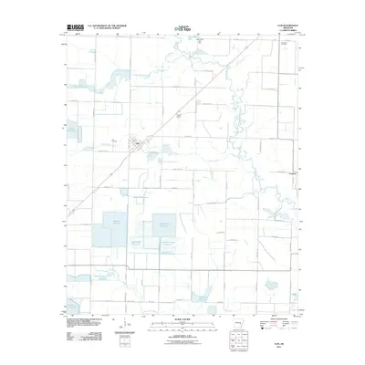 2011 Ulm2011 Print · USGSThe Grand Prairie region around Ulm is shown here as a highly developed agricultural landscape in the early twenty-first century. Researchers can locate family-named reservoirs like Trotters Reservoir and historic sites including Zion Cemetery and Audrich Switch.
 - 2011 Map of De Valls Bluff, 2011 Print
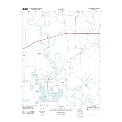 2011 De Valls Bluff2011 Print · USGSThe riverfront town of De Valls Bluff and the surrounding Prairie County lowlands are documented here in the early twenty-first century. Researchers can trace local heritage through Oakland Cemetery, Biscoe Cemetery, and family-named landmarks like Pfennighausen Ridge.
 - 2011 Map of Pine City, 2011 Print
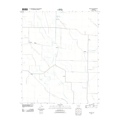 2011 Pine City2011 Print · USGSMonroe County at the turn of the century shows a landscape tied to the delta waters of Big Cypress Creek. Researchers can trace old family sites and burial grounds at Union Cemetery, Postelle, and the rural crossroads of B B Junction.
 - 2011 Map of De Valls Bluff SE, 2011 Print
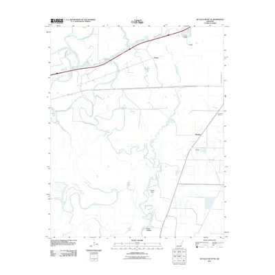 2011 De Valls Bluff SE2011 Print · USGSEastern Arkansas river bottoms and rural settlements are shown here in the early twenty-first century. Researchers can trace family history through sites like Philadelphia Cemetery and Choctaw Cemetery or locate old water-access points at Dobbs Landing and Eden.
 - 2011 Map of Turner, 2011 Print
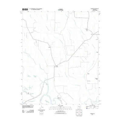 2011 Turner2011 Print · USGSThe Arkansas Delta comes alive in this survey of the riverlands and bayous south of Marvell. Genealogists and historians can trace local family lineages through several burial grounds, including Israel Cemetery, and the historic Turner Post Office.
 - 2011 Map of Hunter West, 2011 Print
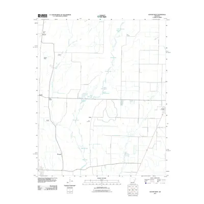 2011 Hunter West2011 Print · USGSWoodruff County at the start of the 2010s shows a landscape defined by delta wetlands and dispersed rural settlements. Genealogists can locate family landmarks like the Holly Cemetery or trace early community hubs like Howell and McGregor.
 - 2014 Map of Clarendon, 2014 Print
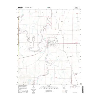 2014 Clarendon2014 Print · USGSThe riverfront town of Clarendon and the surrounding Arkansas delta bottomlands are shown here in the mid-2010s. Researchers can trace local landmarks and family sites including Shady Grove Cem, Bateman Cem, and the curves of Holly Tree Bend.
 - 2014 Map of Brinkley, 2014 Print
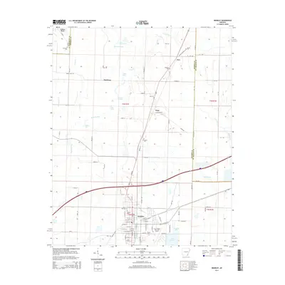 2014 Brinkley2014 Print · USGSBrinkley and the surrounding Arkansas delta are captured here in the early twenty-first century, showing a landscape defined by its waterways and small settlements. Researchers can trace local lineage at Oaklawn Cem or Macedonia Cem and explore the rail-and-road junctions at Fargo and Cotton Plant.
 - 2014 Map of Des Arc East, 2014 Print
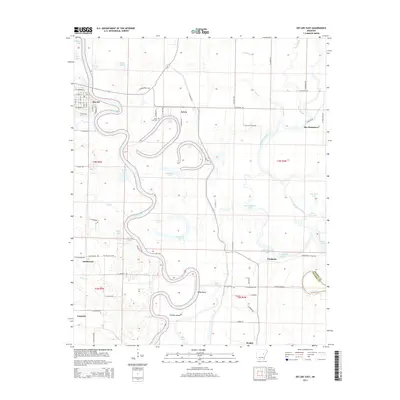 2014 Des Arc East2014 Print · USGSThe Arkansas Delta east of Des Arc is captured here during the mid-2010s, showing a landscape defined by the winding White River. Researchers can trace old rural centers and family-named landmarks like Bay Plantation, Saint Luke Cem, and the sloughs of Wilds Bend.
 - 2014 Map of Aberdeen, 2014 Print
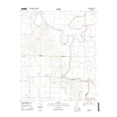 2014 Aberdeen2014 Print · USGSThe White River floodplains of Monroe and Arkansas counties appear in detail as they were in the early 21st century. Genealogists and local historians can trace family roots through numerous rural landmarks like Preston Ferry, Casscoe, and the Hunters Chapel Cem.
Showing maps 1-25 of 105
Top cities of Monroe County
- Brinkley historical maps
- Clarendon historical maps
- Holly Grove historical maps
- Roe historical maps
- Fargo historical maps
Frequently asked questions
- What are the different types of historical maps available for Monroe County?
- What is the oldest map of Monroe County?
- Where can I purchase historical maps of Monroe County for my home or office?
- Where can I download high-res historical maps of Monroe County?
- Are there historical topographic maps available for Monroe County?
- Is there historical aerial imagery available for Monroe County?
- Where are historical maps of Monroe County sourced from?