Old Maps of Camden, Arkansas for Hiking & Exploration
Hike through history with 20 historic maps of Camden. Explore old trails, ghost towns, and forgotten backroads — perfect for outdoor adventurers and local explorers.
- Rediscover forgotten places: Map out old mining camps, roads, and footpaths that no longer exist on modern maps.
- Layer with modern tools: Combine with LiDAR or satellite views to plan hikes through historical terrain.
- Made for exploration: Popular among hikers, overlanders, and local history lovers.
Use these maps to find adventure and explore the hidden past of Camden.
Camden, AR maps
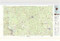
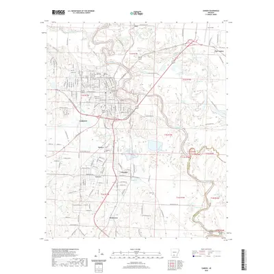
(20)- 1903 Map of Camden
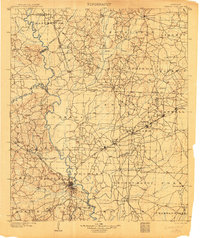 1903 Camden1903 Print · USGSSouth Arkansas at the turn of the century reveals a landscape of river-bend commerce and emerging rail towns along the Ouachita River. Trace family roots in early settlements like Holly Springs, Bearden, and the industrial hub at Eagle Mills.3 unique versions available
 - 1951 Map of Camden
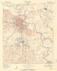 1951 Camden1951 Print · USGSCamden and its industrial neighbors Cullendale and Fairview are captured here in the early 1950s as rail and river travel shaped south Arkansas. Researchers can trace local genealogy through Greenwood Cem or locate community hubs like Lincoln High Sch and the Bradley Ferry (Aband).2 unique versions available
 - 1953 Map of El Dorado, 1967 Print
 1953 El Dorado1967 Print · USGSSouth Arkansas in the mid-1960s was a landscape of industrial growth and river-fed commerce. Researchers can trace the extensive Oil and Gas Fields around Magnolia, the expansive U S Naval Ammunition Depot, and the busy rail lines of the Missouri Pacific.3 unique versions available
 - 1957 Map of El Dorado
 1957 El Dorado1957 Print · USGSSouth Arkansas in the mid-1950s was a critical hub of military logistics and rail-river commerce. Genealogists and historians can trace family land across the Arkansas Louisiana border and locate sites like the U.S. Naval Ammunition Depot or the rail junctions at Magnolia and Camden.
 - 1958 Map of El Dorado
 1958 El Dorado1958 Print · USGSSouthern Arkansas and the Louisiana borderlands are shown during a period of heavy rail traffic and defense industry activity. Researchers can trace the legacy of the U. S. Naval Ammunition Depot or locate family roots in Smackover, Huttig, and Nashville.3 unique versions available
 - 1960 Map of El Dorado
 1960 El Dorado1960 Print · USGSSouth Central Arkansas in the late fifties was a hub of energy production and defense industry. Researchers can trace the extensive Oil and Gas Fields around El Dorado or locate family landmarks like Old Park Cem and New Hope Church.
 - 1971 Map of Camden, 1973 Print
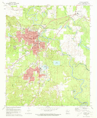 1971 Camden1973 Print · USGSCamden and its riverside suburbs are captured in the early seventies as industrial expansion and timber-hauling railroads defined the local economy. Genealogists can trace family roots at Confederate Cem and Cullendale Cem or locate old neighborhood landmarks like Lincoln High Sch.2 unique versions available
 - 1971 Map of Camden SW, 1973 Print
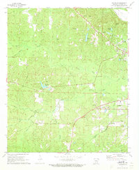 1971 Camden SW1973 Print · USGSOuachita County during the early 1970s reveals a transition between the developing outskirts of Camden and the rural creek bottoms to the west. Researchers can trace historical family sites and local landmarks like Finnswitch, Pleasant Ridge, and the Mt Olive Cem.2 unique versions available
 - 1986 Map of Camden
 1986 Camden1986 Print · USGSSouth Arkansas in the 1980s remains a landscape shaped by river valleys and the legacy of the timber industry. Researchers can trace the massive Abandoned Ammunition Depot or locate family roots in Eagle Mills, Bearden, and Tinsman.
 - 1989 Map of El Dorado, 1990 Print
 1989 El Dorado1990 Print · USGSThe Arkansas-Louisiana borderlands in the late eighties show a landscape of heavy industry and wildlife conservation centered on the Ouachita River. Researchers can trace the legacy of timber and transport via the Missouri Pacific RR, Poison Springs State Forest, and the vast Felsenthal Pool.
 - 2011 Map of Camden SW, 2011 Print
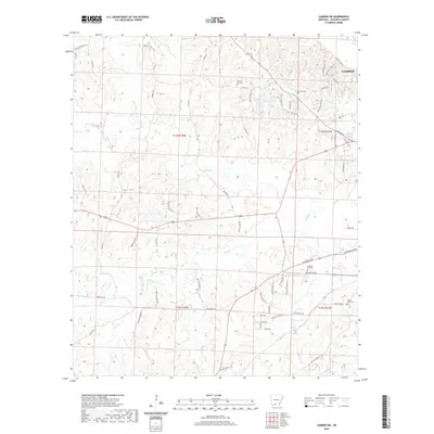
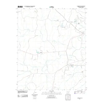 2011 Camden SW2011 Print · USGSCovers Camden, including Ouachita County, United States, and other nearby areas
 - 2011 Map of Camden, 2011 Print
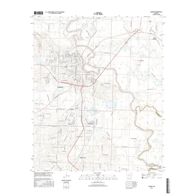
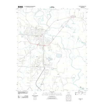 2011 Camden2011 Print · USGSCovers Camden, including East Camden, Cullendale, and other nearby areas
 - 2014 Map of Camden SW, 2014 Print
 2014 Camden SW2014 Print · USGSCovers Camden, including Ouachita County, United States, and other nearby areas
 - 2014 Map of Camden, 2014 Print
 2014 Camden2014 Print · USGSCovers Camden, including East Camden, Cullendale, and other nearby areas
 - 2017 Map of Camden SW, 2017 Print
 2017 Camden SW2017 Print · USGSCovers Camden, including Ouachita County, United States, and other nearby areas
 - 2017 Map of Camden, 2017 Print
 2017 Camden2017 Print · USGSCovers Camden, including East Camden, Cullendale, and other nearby areas
 - 2020 Map of Camden SW, 2020 Print
 2020 Camden SW2020 Print · USGSCovers Camden, including Ouachita County, United States, and other nearby areas
 - 2020 Map of Camden, 2020 Print
 2020 Camden2020 Print · USGSCovers Camden, including East Camden, Cullendale, and other nearby areas
 - 2024 Map of Camden SW, 2024 Print
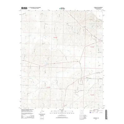
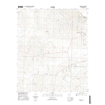
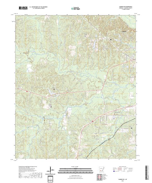 2024 Camden SW2024 Print · USGSSouthwest of Camden in the early 2020s, this landscape is shaped by the winding paths of Two Bayou and North Bayou. Researchers can locate several community landmarks including Two Bayou Methodist Church, Mount Zion Cem, and Eternal Rest Cem.
 - 2024 Map of Camden, 2024 Print
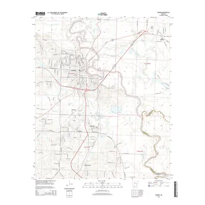
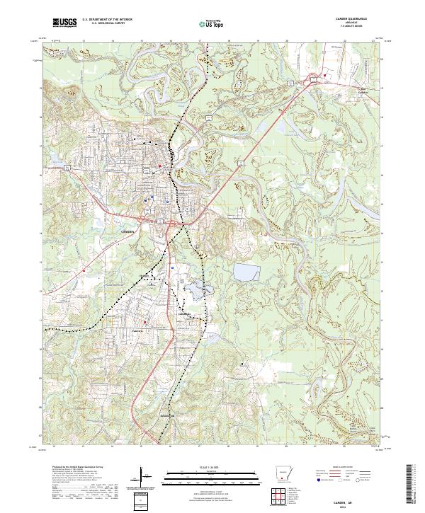 2024 Camden2024 Print · USGSCamden and the Ouachita River valley are captured in detail during this modern survey. Researchers can trace family history through numerous landmarks like the Confederate Cem, Cullendale Cem, and the historic Bradley Ferry crossing.
End of results
Showing maps 1-20 of 20
Top cities near Camden
- Smackover historical maps
- Stephens historical maps
- Bearden historical maps
- East Camden historical maps
- Chidester historical maps
- Louann historical maps
Top neighborhoods of Camden
Frequently asked questions
- What are the different types of historical maps available for Camden?
- What is the oldest map of Camden?
- Where can I purchase historical maps of Camden for my home or office?
- Where can I download high-res historical maps of Camden?
- Are there historical topographic maps available for Camden?
- Is there historical aerial imagery available for Camden?
- Where are historical maps of Camden sourced from?