1900s (20th Century) Maps of Perry County, Arkansas
Explore 36 historic maps of Perry County from the 1900s (20th Century). These maps offer a rare glimpse into what life looked like during the 1900s — showing old roads, neighborhoods, homes, and landmarks that have changed or disappeared over time.
Whether you're researching your family's past, planning a metal detecting trip, or studying how Perry County's landscape evolved across the 1900s, these high-resolution maps are a powerful tool for exploring the history of this region.
- Focus on a specific era: All maps on this page are from the 1900s, giving you a focused view of this time period.
- See what’s changed: Compare century-old streets, trails, and buildings to today's modern landscape using overlays and satellite layers.
- Research with precision: Use these maps for genealogy, historical research, land use analysis, or educational projects.
- View, download, or print: Maps are fully viewable online in high resolution, and can be downloaded or printed for your own records.
Start exploring Perry County's history through authentic maps from the 1900s. This is your window into the past.
Perry County, AR maps
(36)- 1955 Map of Little Rock, 1978 Print
 1955 Little Rock1978 Print · USGSCentral Arkansas in the mid-fifties exhibits a landscape of growing cities, massive military installations, and mountain reservoirs. Genealogists and historians can trace the industrial Bauxite Mines, regional rail lines, and local landmarks like Antioch Church.
 - 1956 Map of Little Rock
 1956 Little Rock1956 Print · USGSCentral Arkansas in the mid-fifties shows a landscape defined by burgeoning military bases and the timber-and-mineral wealth of the Ouachitas. Genealogists and researchers can trace old rail lines like the Missouri Pacific and find established communities such as Bauxite, Sheridan, and Mabelvale.
 - 1956 Map of Russellville
 1956 Russellville1956 Print · USGSThe Arkansas River valley and the surrounding Boston Mountains are captured here in the mid-fifties, showing a landscape of small timber towns and new reservoirs. Genealogists can trace family roots through upland settlements like Pelsor and Witts Springs or locate the campus of Arkansas Polytechnic College.2 unique versions available
 - 1960 Map of Little Rock
 1960 Little Rock1960 Print · USGSCentral Arkansas in the late fifties shows a landscape of growing military bases and massive new reservoirs. Local historians can trace the mid-century expansion of Little Rock and Hot Springs alongside the industrial works at Bauxite and the Pine Bluff Arsenal.
 - 1961 Map of Perryville, 1962 Print
 1961 Perryville1962 Print · USGSPerry County and the Arkansas River valley are shown in the early sixties, capturing the area between the river bends and the mountain ridges. Researchers can locate the County Fairground, rural schools like St Elizabeth Sch, and family burial plots including Wolfe Cem and McGhee Cem.3 unique versions available
 - 1961 Map of Fourche, 1962 Print
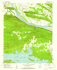 1961 Fourche1962 Print · USGSThe Arkansas River valley meets the Ouachita foothills in the early sixties, showing a landscape of river-bend towns and rising ridgelines. Genealogists can trace family roots through Little Italy and Lundsford Corner, or locate historic sites like Mt Moriah Ch and Rainey Cem.5 unique versions available
 - 1961 Map of Houston, 1962 Print
 1961 Houston1962 Print · USGSPerry County at the start of the 1960s shows a landscape defined by the winding Arkansas River and the ridges of the Ouachita foothills. Researchers can locate several rural burial sites like Houston Cem and trace the path of the Chicago Rock Island and Pacific railroad through Houston and Bigelow.3 unique versions available
 - 1961 Map of Adona, 1962 Print
 1961 Adona1962 Print · USGSCentrally located in Perry and Conway counties in the early sixties, this region reveals a rural landscape defined by the Petit Jean River. Genealogists and local historians can trace family ties at Hamilton Cem, Liberty Cem, and the small siding of Adona along the rail line.3 unique versions available
 - 1961 Map of Gleason, 1962 Print
 1961 Gleason1962 Print · USGSThe Arkansas River valley comes alive in the early sixties, showing the vital river crossings and mountain ridges of Faulkner and Perry counties. Genealogists and local historians can trace the Toadsuck Ferry, the Missouri Pacific rail line, and rural landmarks like Bethel Ch or Casey Cem.3 unique versions available
 - 1963 Map of Paron SW, 1964 Print
 1963 Paron SW1964 Print · USGSThe interior of the Ouachita National Forest comes into sharp focus during the early sixties, showing a landscape defined by the Alum Fork and North Fork Saline River. Researchers can trace the rugged drainage patterns of Stillhouse Creek and find landmarks like Flatside Pinnacle and Walnut Bottom.5 unique versions available
 - 1963 Map of Thornburg, 1964 Print
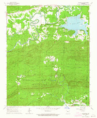 1963 Thornburg1964 Print · USGSCentral Arkansas in the early sixties is defined by the winding Fourche La Fave River and the rural crossroads of Thornburg. Researchers can trace family sites at Tyndall Cem, the community at Antioch, and the Fish Hatchery at Williams Junction.4 unique versions available
 - 1963 Map of Fourche SW, 1964 Print
 1963 Fourche SW1964 Print · USGSThe Saline and Pulaski County borderlands in the early sixties reveal a landscape of deep valleys and named peaks. Genealogists and hikers can trace landmarks like the Cold Spring Cem, Smyrna Ch, and the old Railroad Grade near Holland.3 unique versions available
 - 1963 Map of Aplin, 1964 Print
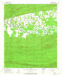 1963 Aplin1964 Print · USGSCentral Arkansas in the early sixties is captured here as the Fourche La Fave River winds through the Ouachita foothills. Genealogists can locate Pleasant Grove Cem and Aplin, while terrain enthusiasts can trace the peaks of Link Mountain.3 unique versions available
 - 1963 Map of Martindale, 1964 Print
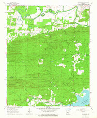 1963 Martindale1964 Print · USGSPerry and Pulaski counties meet in this early 1960s landscape of river bottoms and high ridges before extensive modern development. Researchers can trace rural life through the homes and cemeteries of Wye, the riverfront at Martindale, and old country sanctuaries like Oak Grove Ch.5 unique versions available
 - 1963 Map of Paron, 1964 Print
 1963 Paron1964 Print · USGSSaline County’s forest landscape in the early sixties is shown here as a network of ridges and river forks within the Ouachita National Forest. Researchers can trace old roads to the Walnut Bottom Cem, the settlement of Reform, or the Fowler Cem near Paron.5 unique versions available
 - 1964 Map of Russellville
 1964 Russellville1964 Print · USGSMid-century Central Arkansas is defined here by the river-valley towns and the surrounding mountain ranges before the full expansion of the interstate system. Genealogists and historians can trace rail-town development along the Missouri Pacific Railroad and locate landmarks like Arkansas Polytechnic College or Petit Jean State Park.
 - 1964 Map of Little Rock
 1964 Little Rock1964 Print · USGSCentral Arkansas in the mid-sixties is a landscape of mountain ridges, industrial rail lines, and growing military hubs. Researchers can trace the development of Bauxite and Hot Springs or locate rural landmarks like Sparkman and the Pine Bluff Arsenal.
 - 1968 Map of Nimrod SE
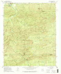 1968 Nimrod SE1968 Print · USGSThe northern reaches of the Ouachita Mountains are captured here in the late sixties, where the timberlands of Perry and Saline counties converge. Genealogists and hikers can locate the Goat Bluff Cem, trace the waters of the Middle Fork Saline River, and identify landmarks like Smith Pinnacle.4 unique versions available
 - 1968 Map of Plainview, 1970 Print
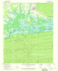 1968 Plainview1970 Print · USGSThe Yell County timberlands and river valleys come into focus in the late 1960s, just as the regional landscape was being reshaped by water management. Genealogists and historians can locate Plainview, the Barnett Chapel Cem, and riverside landmarks like Wards Crossing.
 - 1968 Map of Nimrod, 1970 Print
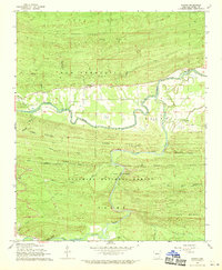 1968 Nimrod1970 Print · USGSPerry County's river valleys and forest lands are captured here in the late sixties, showing the rural character of the Ouachita region. Genealogists and local historians can locate Nimrod Cem, the settlement of Aplin, and the prominent Goat Bluff overlooking the river.2 unique versions available
 - 1968 Map of Nimrod SW, 1970 Print
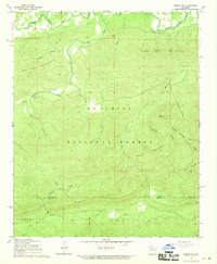 1968 Nimrod SW1970 Print · USGSThe northern Ouachita mountains in the late sixties are captured here, from the valley of the South Fork La Fave River to the Garland County line. Researchers can locate the mountain settlement at Ava, the Hawks Cem, and the high peak of Joe Point.2 unique versions available
 - 1968 Map of Nimrod Dam, 1970 Print
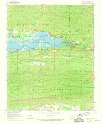 1968 Nimrod Dam1970 Print · USGSThe Fourche River valley and Nimrod Lake are seen here in the late sixties as the area became a hub for conservation and recreation. Genealogists and local historians can locate Valley Home Ch, the Ark Sch, and family landmarks like Carter Cem.
 - 1968 Map of Steve, 1970 Print
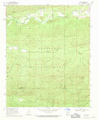 1968 Steve1970 Print · USGSThe northern Arkansas wilderness of the late sixties is documented here as the Ouachita National Forest meets the Fourche River valley. Local researchers can trace family landmarks like Shed Cem, Steve Ch, and the small community at Steve.
 - 1972 Map of Ola, 1974 Print
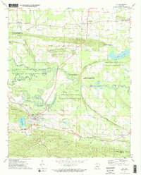 1972 Ola1974 Print · USGSThe Yell County river bottoms and rail lines come into focus in the early 1970s, showing the town of Ola at a geographical crossroads. Researchers can trace family history at Oakland Cemetery or locate the former path of the Old RR Grade and the Mt Tabor Church.2 unique versions available
 - 1972 Map of Casa, 1974 Print
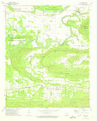 1972 Casa1974 Print · USGSThe river valley and mountain ridges of central Arkansas are captured here in the early seventies, centered on the railroad town of Casa. Genealogists and historians can trace family locations through Needmore Cem, South View Ch, and the rural crossing at Pontoon.2 unique versions available
Showing maps 1-25 of 36
Top cities of Perry County
- Perryville historical maps
- Bigelow historical maps
- Perry historical maps
- Adona historical maps
- Houston historical maps
- Casa historical maps
See more
Frequently asked questions
- What are the different types of historical maps available for Perry County?
- What is the oldest map of Perry County?
- Where can I purchase historical maps of Perry County for my home or office?
- Where can I download high-res historical maps of Perry County?
- Are there historical topographic maps available for Perry County?
- Is there historical aerial imagery available for Perry County?
- Where are historical maps of Perry County sourced from?