2000s (21st Century) Maps of Perry County, Arkansas
Explore 95 historic maps of Perry County from the 2000s (21st Century). These maps offer a rare glimpse into what life looked like during the 2000s — showing old roads, neighborhoods, homes, and landmarks that have changed or disappeared over time.
Whether you're researching your family's past, planning a metal detecting trip, or studying how Perry County's landscape evolved across the 2000s, these high-resolution maps are a powerful tool for exploring the history of this region.
- Focus on a specific era: All maps on this page are from the 2000s, giving you a focused view of this time period.
- See what’s changed: Compare century-old streets, trails, and buildings to today's modern landscape using overlays and satellite layers.
- Research with precision: Use these maps for genealogy, historical research, land use analysis, or educational projects.
- View, download, or print: Maps are fully viewable online in high resolution, and can be downloaded or printed for your own records.
Start exploring Perry County's history through authentic maps from the 2000s. This is your window into the past.
Perry County, AR maps
(95)- 2011 Map of Nimrod Dam, 2011 Print
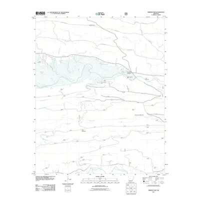 2011 Nimrod Dam2011 Print · USGSThe Ouachita foothills are captured here in the early twenty-first century as the Fourche LaFave River meets the reservoir at Nimrod Dam. Genealogists and local historians can locate Carter Cemetery and trace the rural road networks surrounding Fourche Junction.
 - 2011 Map of Nimrod, 2011 Print
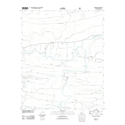 2011 Nimrod2011 Print · USGSPerry County at the start of the 2010s reveals a landscape deeply tied to the Fourche LaFave River and its many historic crossings. Genealogists and historians can locate family sites at Nimrod Cemetery or Garland Cemetery, and trace old river transit points such as Flynn Ford and Rocky Crossing.
 - 2011 Map of Nimrod SE, 2011 Print
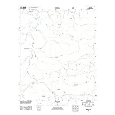 2011 Nimrod SE2011 Print · USGSThe Ouachita Mountain backcountry near Hollis is captured here in the early twenty-first century. Researchers can trace remote burial sites at Goat Bluff Cemetery and Forked Mountain Cemetery or follow the winding Middle Fork Saline River.
 - 2011 Map of Nimrod SW, 2011 Print
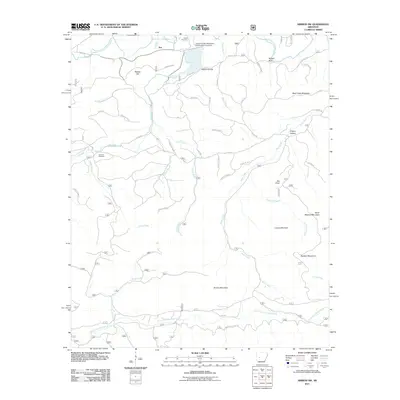 2011 Nimrod SW2011 Print · USGSThe northern Arkansas hills near Ava are shown in this 2011 survey as a landscape of interconnected ridges and river valleys. Researchers can locate early burial sites like Hawks Cemetery and Dry Fork Cemetery or trace the old crossing at Shepherds Ford.
 - 2011 Map of Steve, 2011 Print
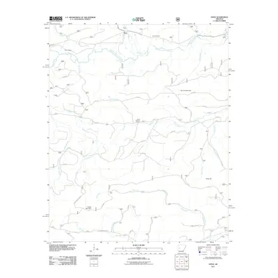 2011 Steve2011 Print · USGSYell County forestry and river valleys are captured here in the early twenty-first century, centered on the community of Steve. Genealogists can locate family landmarks such as Nooner Cemetery, Shed Cemetery, and the high ground of Dry Fork Mountain.
 - 2011 Map of Plainview, 2011 Print
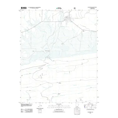 2011 Plainview2011 Print · USGSThe town of Plainview and the surrounding river bottomlands are captured here in the early twenty-first century. Genealogists and local historians can trace family locations near Wards Crossing or locate sites such as Sunlight Cemetery and Barnett Chapel Cemetery.
 - 2011 Map of Paron, 2011 Print
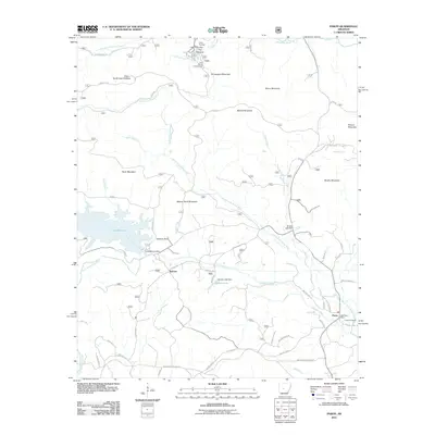 2011 Paron2011 Print · USGSSaline County’s highland terrain is captured here in the early 2000s, showing a landscape defined by timber management and mountain reservoirs. Genealogists and local historians can locate the Fowler Cemetery near Paron or trace the early foundations of Camp Ouachita and Reform.
 - 2011 Map of Fourche, 2011 Print
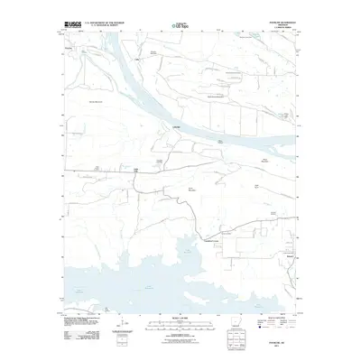 2011 Fourche2011 Print · USGSThe Arkansas River valley comes alive in this 2010s survey, showing the confluence of the Fourche LaFave River near Fourche. Genealogists and local historians can trace rural family roots through Saint Francis Cemetery, Little Italy, and Lundsford Corner.
 - 2011 Map of Thornburg, 2011 Print
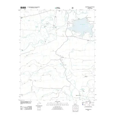 2011 Thornburg2011 Print · USGSThe river valley south of Perryville in the early twenty-first century reveals a landscape defined by the Fourche LaFave River and the waters of Harris Brake Lake. Genealogists can trace several local burial sites like Tyndall Cemetery or locate the community at Thornburg.
 - 2011 Map of Fourche SW, 2011 Print
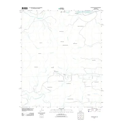 2011 Fourche SW2011 Print · USGSPulaski County's upland ridges and river valleys are captured here in the early twenty-first century. Researchers can locate family landmarks like Cold Spring Cemetery or trace the drainage of Nowlin Creek between Wilford Peak and Brush Mountain.
 - 2011 Map of Martindale, 2011 Print
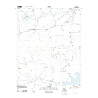 2011 Martindale2011 Print · USGSPerry County at the start of the twenty-first century reveals a landscape shaped by the Maumelle River and upland ridges. Researchers can locate established rural communities like Martindale and Graytown or trace family sites near Wye Cemetery.
 - 2011 Map of Adona, 2011 Print
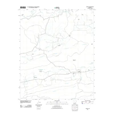 2011 Adona2011 Print · USGSIn the valley of the Petit Jean River, this 2011 map reveals a rural landscape shaped by rail transport and upland terrain. Researchers can locate numerous family burial grounds including Aunt Dilly and Fowler Cemetery, or trace the tracks of the RAILROAD through Adona.
 - 2011 Map of Houston, 2011 Print
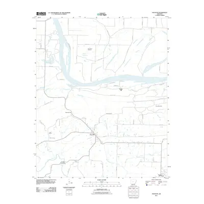 2011 Houston2011 Print · USGSThe rural landscape around Houston and Bigelow is captured here during the early twenty-first century, showing the intersection of river life and ridge-top settlements. Researchers can trace local genealogy and landmarks through Houston Cemetery, Council Bluffs Bridge, and Copperas Gap.
 - 2011 Map of Gleason, 2011 Print
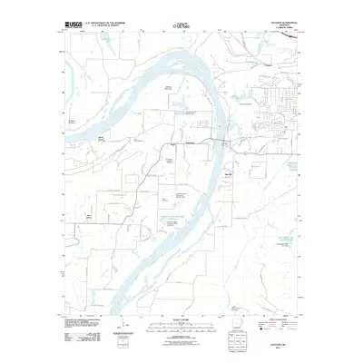 2011 Gleason2011 Print · USGSThe riverfront communities and ferry crossings west of Conway are captured here in the early twenty-first century. Researchers can locate family sites near Salem Cemetery, the historic Toad Suck Ferry, and the settlement of Stony Point.
 - 2011 Map of Perryville, 2011 Print
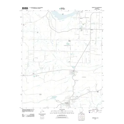 2011 Perryville2011 Print · USGSPerry County as it appeared in the early twenty-first century shows a landscape of river valleys and rural settlements centered around Perryville. Researchers can locate several historic family burial sites like Wolfe Cemetery and Harper Cemetery, or trace the winding course of the Fourche-LaFave River.
 - 2011 Map of Aplin, 2011 Print
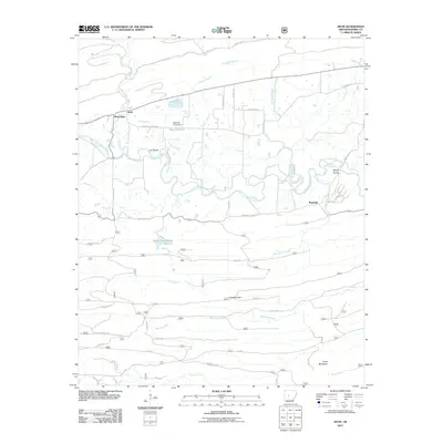 2011 Aplin2011 Print · USGSPerry County at the turn of the decade reveals a landscape where the Fourche LaFave River dictates the path of local life. Genealogists and historians can trace the rural networks connecting Aplin, Ragsdale, and family-named landmarks like Link Mountain.
 - 2011 Map of Paron SW, 2011 Print
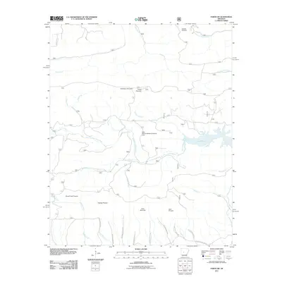 2011 Paron SW2011 Print · USGSCentral Arkansas in the early 2010s is defined here by the protected waters of Lake Winona and the surrounding timberlands. Researchers can trace the complex network of Weyerhaeuser roads leading to prominent peaks like Flatside Pinnacle and Grindstone Mountain.
 - 2011 Map of Casa, 2011 Print
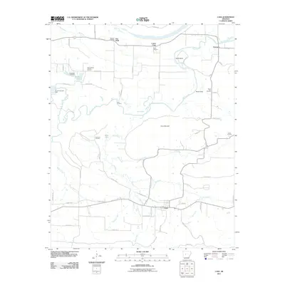 2011 Casa2011 Print · USGSThe rural Perry County landscape near Casa is meticulously detailed in this early 21st-century survey. Family historians can trace numerous burial sites and small settlements including Needmore Cemetery, Cotton Town, and the Slaty Crossing Catholic Cemetery.
 - 2011 Map of Ola, 2011 Print
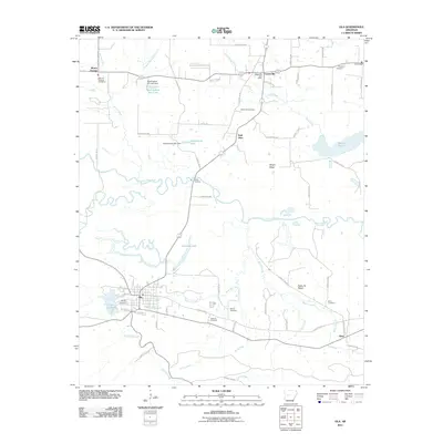 2011 Ola2011 Print · USGSThe river valley around Ola and Centerville is captured here during the early 2000s, showing a landscape defined by the winding Petit Jean River. Genealogists can locate several local burial sites including Petillo Hill Cemetery, Wilson Cemetery, and Birta Cemetery.
 - 2014 Map of Nimrod, 2014 Print
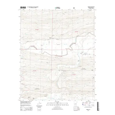 2014 Nimrod2014 Print · USGSThe river valleys of Perry County are captured here in the early twenty-first century, showing a landscape shaped by the Ouachita Mountains. Genealogists and hikers can trace historical river crossings like Flynn Ford and locate local landmarks such as Nimrod Cem and Goat Bluff.
 - 2014 Map of Plainview, 2014 Print
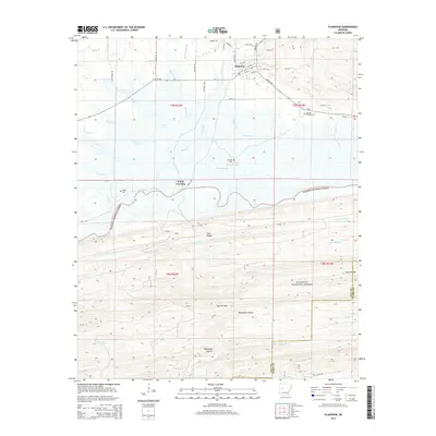 2014 Plainview2014 Print · USGSThe northern edge of the Ouachita National Forest and the town of Plainview are captured in this recent survey. Local researchers can trace family roots at Barnett Chapel Cem or explore the rugged hollows near Fourche Mountain and Nimrod Lake.
 - 2014 Map of Perryville, 2014 Print
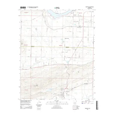 2014 Perryville2014 Print · USGSPerryville and the Arkansas River valley are shown in the early twenty-first century as established agricultural and transit corridors. Genealogists can trace family footprints at Wolfe Cem and McGhee Cem or locate old homesteads near Rehms Corner and Ada Valley.
 - 2014 Map of Adona, 2014 Print
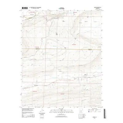 2014 Adona2014 Print · USGSCentral Arkansas highlands meet the river valley in this 2014 survey of the terrain near the Perry and Conway county line. Genealogists and local historians can trace rural burial grounds like Liberty Cem and explore the geography around Adona.
 - 2014 Map of Nimrod SW, 2014 Print
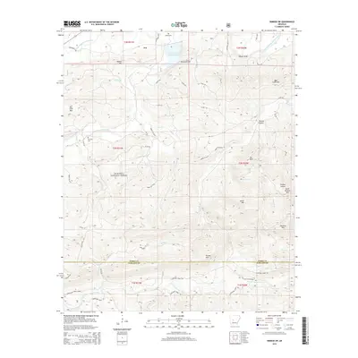 2014 Nimrod SW2014 Print · USGSThe northern Ouachita Mountains come into focus in the mid-2010s, centering on the settlement of Ava and the surrounding national forest. Genealogists and hikers can trace paths to Hawks Cem, Hopper Bluff, and the peaks of Bear Creek Mtn.
 - 2014 Map of Steve, 2014 Print
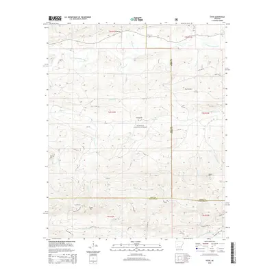 2014 Steve2014 Print · USGSThe highlands of central Arkansas are captured in the mid-2010s at the junction of Yell, Perry, and Garland counties. Researchers can locate remote family landmarks like Nooner Cem and Hames Number 2 Cem tucked along the Dry Fork and South Fourche LaFave River.
Showing maps 1-25 of 95
Top cities of Perry County
- Perryville historical maps
- Bigelow historical maps
- Perry historical maps
- Adona historical maps
- Houston historical maps
- Casa historical maps
See more
Frequently asked questions
- What are the different types of historical maps available for Perry County?
- What is the oldest map of Perry County?
- Where can I purchase historical maps of Perry County for my home or office?
- Where can I download high-res historical maps of Perry County?
- Are there historical topographic maps available for Perry County?
- Is there historical aerial imagery available for Perry County?
- Where are historical maps of Perry County sourced from?