2020s Maps of Perry County, Arkansas
Explore 38 historic maps of Perry County from the 2020s. These maps offer a rare glimpse into what life looked like during the 2020s — showing old roads, neighborhoods, homes, and landmarks that have changed or disappeared over time.
Whether you're researching your family's past, planning a metal detecting trip, or studying how Perry County's landscape evolved across the 2020s, these high-resolution maps are a powerful tool for exploring the history of this region.
- Focus on a specific era: All maps on this page are from the 2020s, giving you a focused view of this time period.
- See what’s changed: Compare century-old streets, trails, and buildings to today's modern landscape using overlays and satellite layers.
- Research with precision: Use these maps for genealogy, historical research, land use analysis, or educational projects.
- View, download, or print: Maps are fully viewable online in high resolution, and can be downloaded or printed for your own records.
Start exploring Perry County's history through authentic maps from the 2020s. This is your window into the past.
Perry County, AR maps
(38)- 2020 Map of Thornburg, 2020 Print
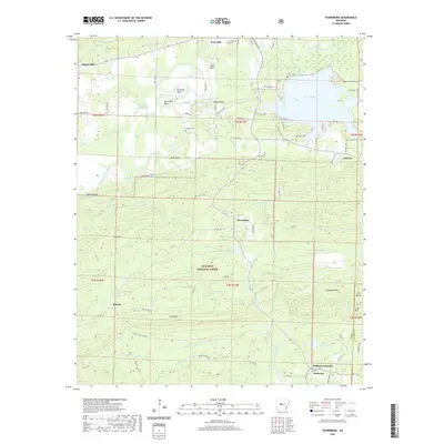 2020 Thornburg2020 Print · USGSPerry County at the start of the 2020s shows a landscape defined by the Fourche LaFave River and the reaches of the Ouachita National Forest. Family researchers can trace long-standing sites like Perryville Cem, Thornburg, and Antioch Cem.
 - 2020 Map of Aplin, 2020 Print
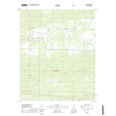 2020 Aplin2020 Print · USGSPerry County's timber and river country is captured here during the 2020s, showing the intersection of the Ouachita foothills and the river valley. Genealogists and hikers can trace the Ouachita National Recreation Trail or locate family sites near Pleasant Grove Cem and Aplin.
 - 2020 Map of Paron, 2020 Print
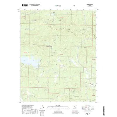 2020 Paron2020 Print · USGSThe Saline County timberlands and the upper forks of the Saline River are documented here in the early twenty-first century. Researchers can trace the legacy of rural life at Paron and Reform, or locate family sites near Fowler Cem and Hansen Lake.
 - 2020 Map of Fourche, 2020 Print
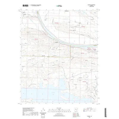 2020 Fourche2020 Print · USGSThe Arkansas River valley meets the northern ridges of Pulaski County in this modern survey of the riverlands and reservoir shores. Researchers can trace rural cemeteries like Saint Francis Cem and Rainey Cem near the historic settlements of Little Italy and Roland.
 - 2020 Map of Fourche SW, 2020 Print
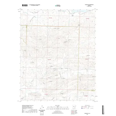 2020 Fourche SW2020 Print · USGSThe peaks and river valleys of the Ouachita foothills are meticulously detailed in this contemporary survey of the Pulaski and Saline county border. Researchers can trace land features like Cold Spring Cem, the Alex Acres settlement, and the historic Ouachita Trail.
 - 2020 Map of Paron SW, 2020 Print
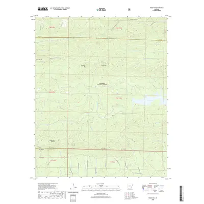 2020 Paron SW2020 Print · USGSThe eastern Ouachita Mountains in the 2020s remain a landscape of high timbered ridges and critical watersheds. Modern topographic data allows you to trace the Ouachita National Recreation Trail past Flatside Pinnacle and across the shoreline of Lake Winona.
 - 2020 Map of Martindale, 2020 Print
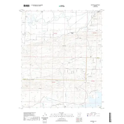 2020 Martindale2020 Print · USGSBigelow and the surrounding ridges of Perry and Pulaski counties are captured here in the early twenty-first century. Researchers can trace family history at Viney Grove Cem or follow the waters from Turkey Swamp down to Lake Maumelle.
 - 2020 Map of Perryville, 2020 Print
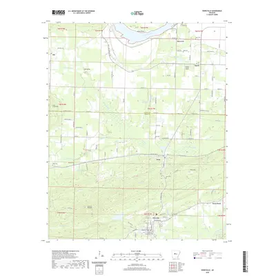 2020 Perryville2020 Print · USGSThe Perry County seat and its surrounding river valleys are documented here during the late 2010s. Researchers can trace family history through numerous rural burial sites like Stover Cem and Wade Cem or locate landmarks like the Perry County Courthouse.
 - 2020 Map of Gleason, 2020 Print
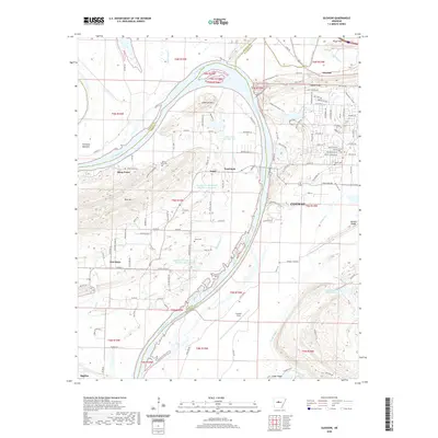 2020 Gleason2020 Print · USGSConway and the Arkansas River valley come to life in this detailed record of the region's diverse landscape and growing footprint. Researchers can trace historic routes like the Cadron Settlement Trail and locate family burial sites at Stony Point Cem or Casey Cem.
 - 2020 Map of Adona, 2020 Print
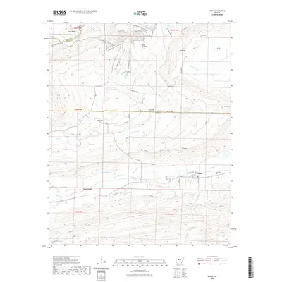 2020 Adona2020 Print · USGSAdona and the surrounding Perry County foothills are captured here in a period of modern rural continuity. Researchers can trace ancestral locations through numerous family burial sites like Liberty Cem and Hamilton Cem or explore the rugged trails near the Petit Jean Natural Bridge.
 - 2020 Map of Houston, 2020 Print
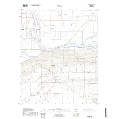 2020 Houston2020 Print · USGSCentral Arkansas river life comes into focus as the new decade begins, showing the winding Arkansas River and its varied floodplains. Researchers can trace local heritage through Houston Cem, Bland Cem, and the crossing at Council Bluffs Bridge.
 - 2020 Map of Ola, 2020 Print
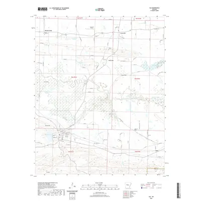 2020 Ola2020 Print · USGSYell County's river-bottom lands and rising ridges are captured here during the early twenty-first century. Genealogists and local historians can trace family locations through numerous rural burial grounds like Petillo Hill Cem and Oakland Cem near Ola.
 - 2020 Map of Casa, 2020 Print
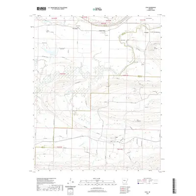 2020 Casa2020 Print · USGSThe northern Arkansas foothills in Perry and Yell counties are captured here as they appeared in recent years. Researchers can trace family history through sites like Slaty Crossing Catholic Cem or explore small settlements such as Cotton Town and Casa.
 - 2020 Map of Nimrod, 2020 Print
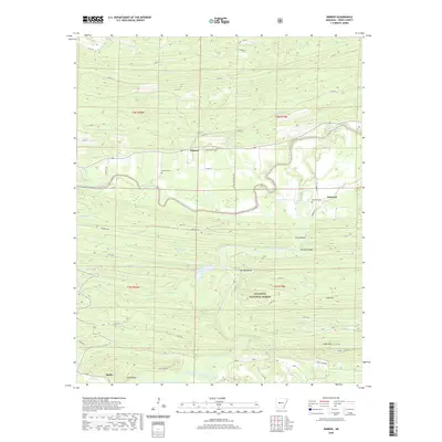 2020 Nimrod2020 Print · USGSPerry County's rural river valleys and forest lands are detailed in this recent survey of the Ouachita foothills. Genealogists and local historians can locate family sites near Nimrod, Deberrie, and Hollis, or trace the winding course of the Fourche LaFave River.
 - 2020 Map of Plainview, 2020 Print
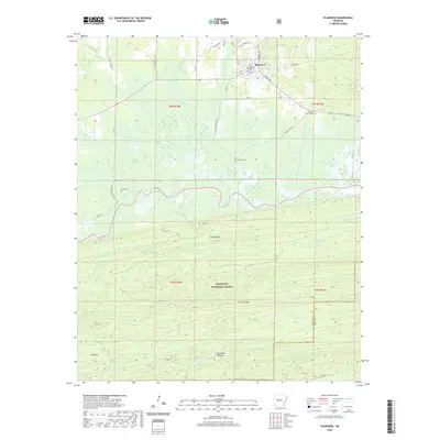 2020 Plainview2020 Print · USGSIn recent decades, this Yell County landscape shows the transition from the grid of Plainview into the southern highlands. Trace family roots at Barnett Chapel Cem or follow the terrain from Wilson Slough up into the Ouachita National Forest.
 - 2020 Map of Nimrod Dam, 2020 Print
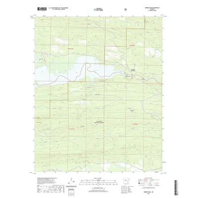 2020 Nimrod Dam2020 Print · USGSThe Perry County highlands and the waters of the Fourche LaFave River meet here in the modern era. Genealogists and local historians can locate the Carter Cem and trace the development of Fourche Junction near the engineering of the Nimrod Dam.
 - 2020 Map of Nimrod SE, 2020 Print
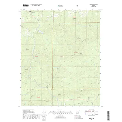 2020 Nimrod SE2020 Print · USGSThe community of Hollis and the surrounding forest peaks are captured here in the early twenty-first century. Genealogists and hikers can locate the Bluff Cem and Forked Mountain Cem or trace the Ouachita National Recreation Trail.
 - 2020 Map of Nimrod SW, 2020 Print
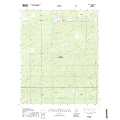 2020 Nimrod SW2020 Print · USGSThe wooded ridges of Perry and Garland counties are captured here in the late twenty-teens, showing the dense trail networks within the Ouachita National Forest. Researchers can trace old family sites and mountain routes near Hawks Cem, Hopper Bluff, and the Bear Creek Equestrian Trail.
 - 2020 Map of Steve, 2020 Print
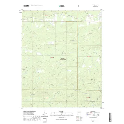 2020 Steve2020 Print · USGSThe northern reaches of the Ouachita Mountains come into focus on this 2020 survey of Yell and Perry counties. Researchers can locate family burial sites at Hames Number 2 Cem and Nooner Cem or trace the early paths around Steve and Dry Fork Mtn.
 - 2024 Map of Plainview, 2024 Print
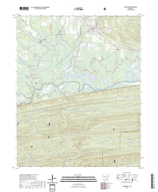 2024 Plainview2024 Print · USGSPlainview and the northern reaches of the Ouachita Mountains are documented here in 2024. Genealogists and hikers can trace old family burial grounds at Sunlight Cem or follow the water through Wilson Slough and the Fourche LaFave River.
 - 2024 Map of Steve, 2024 Print
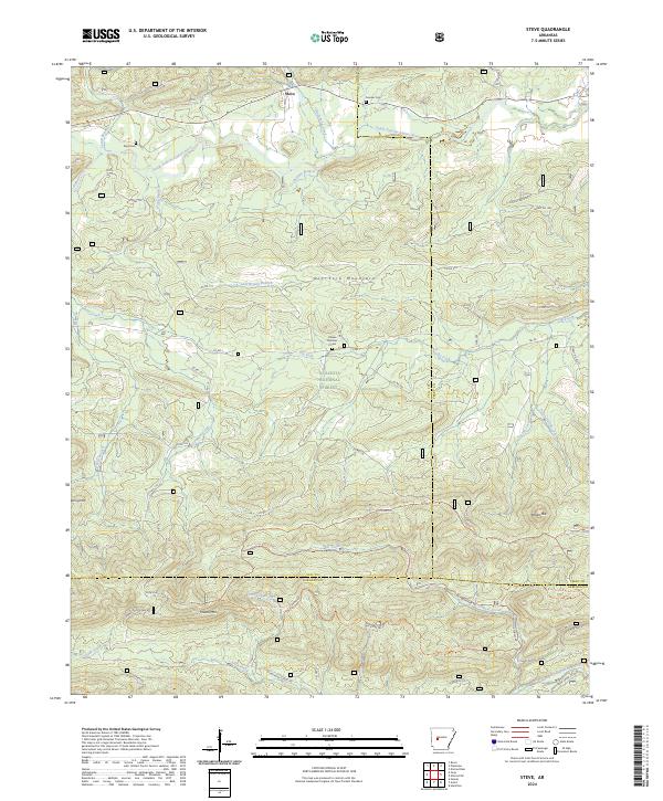 2024 Steve2024 Print · USGSThe northern Ouachita Mountains come into focus here, showing the rural community of Steve alongside the winding South Fourche LaFave River. Researchers can locate historic family burial grounds like Nooner Cem or trace the extensive network of the Bear Creek Equestrian Trl through the deep woods.
 - 2024 Map of Nimrod SW, 2024 Print
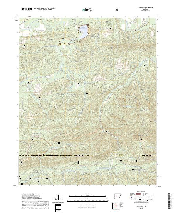 2024 Nimrod SW2024 Print · USGSPerry and Garland Counties are captured in this modern survey of the deep Ouachita National Forest timberlands. Researchers can trace historic lineage via Hawks Cem, the crossing at Shepherds Ford, and the many forest roads winding through Hickory Hollow.
 - 2024 Map of Nimrod Dam, 2024 Print
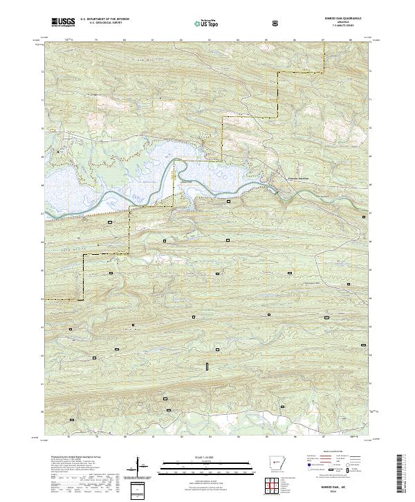 2024 Nimrod Dam2024 Print · USGSThe Yell and Perry County line comes alive in this survey of the river valleys and timbered ridges of the Ouachitas. Search for family roots at Carter Cem or trace the historical river crossings at Bales Ford and The Narrows.
 - 2024 Map of Paron, 2024 Print
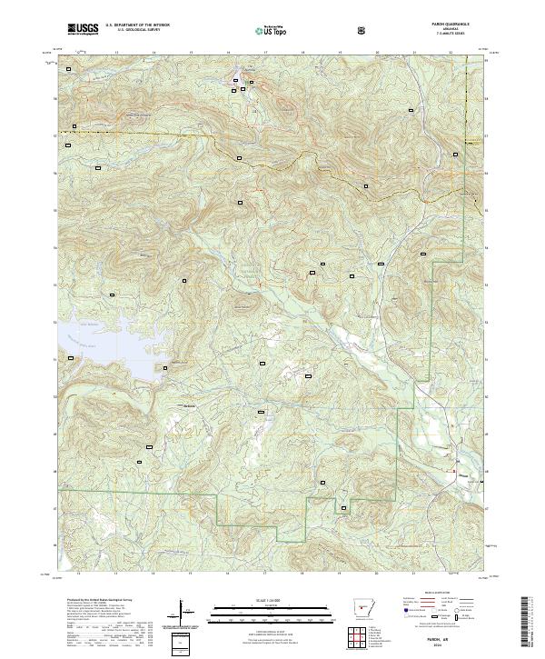 2024 Paron2024 Print · USGSSaline County’s timbered ridges and river forks are captured here in the early twenty-first century as part of the Ouachita interior. Researchers can locate the Fowler Cem near Paron or trace the early paths of Reform Rd and the Ouachita National Recreation Trl.
 - 2024 Map of Martindale, 2024 Print
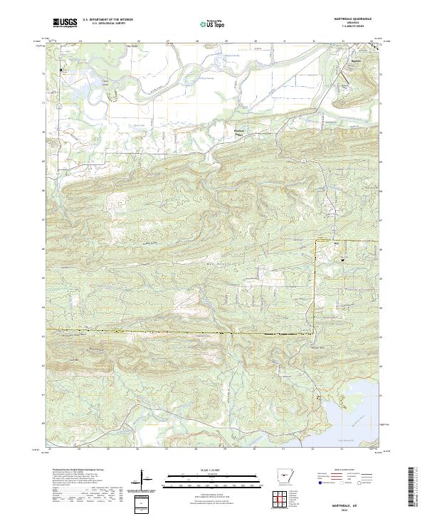 2024 Martindale2024 Print · USGSThe river bottomlands of Perry County meet the rising ridgelines of the Ouachitas in this contemporary topographic record. Local historians can trace family sites at Viney Grove Cem, the settlement of Bigelow, and the aviation history of Pearson Field.
Showing maps 1-25 of 38
Top cities of Perry County
- Perryville historical maps
- Bigelow historical maps
- Perry historical maps
- Adona historical maps
- Houston historical maps
- Casa historical maps
See more
Frequently asked questions
- What are the different types of historical maps available for Perry County?
- What is the oldest map of Perry County?
- Where can I purchase historical maps of Perry County for my home or office?
- Where can I download high-res historical maps of Perry County?
- Are there historical topographic maps available for Perry County?
- Is there historical aerial imagery available for Perry County?
- Where are historical maps of Perry County sourced from?