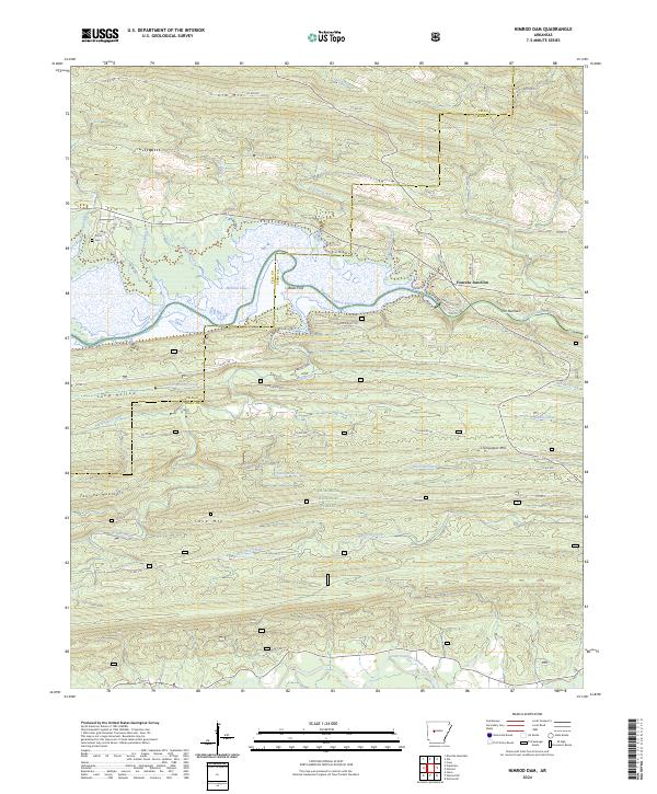
2024 Map of Nimrod Dam
USGS Topo · Published 2024About this map
Nimrod Lake and the winding Fourche LaFave River dominate this modern survey of the borderlands between Yell and Perry Counties. The terrain is defined by parallel ridges including Fourche Mountain, Ola Mtn, and Cove Mtn, part of the protected Ouachita National Forest. At Fourche Junction, local roads converge near The Narrows, where the river valley constricts significantly.
Find a feature on this map
55 named features on this map. Tap any name to fly to it.
Don’t see what you’re looking for? This feature index may not catch every label — zoom into the map to look around manually.
Map Details
Editions of this 2024 Nimrod Dam Map
This is the sole edition of this map. No revisions or reprints were ever made.
Other maps of this area

1888 · Dardanelle #4
USGS Topo · 1:62,500

1888 · Dardanelle #3
USGS Topo · 1:62,500

1890 · Hot Springs
USGS Topo · 1:125,000

1890 · Dardanelle
USGS Topo · 1:125,000

1894 · Hot Springs
USGS Topo · 1:125,000

1955 · Little Rock
USGS Topo · 1:250,000

1956 · Little Rock
USGS Topo · 1:250,000

1956 · Russellville
USGS Topo · 1:250,000

1960 · Little Rock
USGS Topo · 1:250,000

1964 · Russellville
USGS Topo · 1:250,000