Old Maps of Nutts, Arkansas for Metal Detecting
Plan your next treasure hunt with 12 historic maps of Nutts. Find old homesites, ghost towns, trails, and gathering spots that may be lost to time — perfect for identifying promising metal detecting locations.
- Locate forgotten sites: Uncover places like long-lost settlements, abandoned rail lines, or gathering spots.
- Plan better hunts: Use map overlays combined with LiDAR or satellite views to narrow in on historically rich areas.
- Made for detectorists: Thousands of hobbyists use these maps to discover relics, coins, and hidden history.
Use these historic maps to boost your research and find new opportunities beneath the surface of Nutts.
Nutts, AR maps
(12)- 1943 Map of Antoine
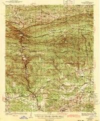 1943 Antoine1943 Print · USGSPike and Clark counties come into focus during the early 1940s, highlighting a landscape of river-bottom settlements and upland timber tracts. Researchers can trace family roots at Meeks Settlement or locate remote rural landmarks like Rosewall Sch and Nutts.3 unique versions available
 - 1955 Map of Little Rock, 1978 Print
 1955 Little Rock1978 Print · USGSCentral Arkansas in the mid-fifties exhibits a landscape of growing cities, massive military installations, and mountain reservoirs. Genealogists and historians can trace the industrial Bauxite Mines, regional rail lines, and local landmarks like Antioch Church.
 - 1956 Map of Little Rock
 1956 Little Rock1956 Print · USGSCentral Arkansas in the mid-fifties shows a landscape defined by burgeoning military bases and the timber-and-mineral wealth of the Ouachitas. Genealogists and researchers can trace old rail lines like the Missouri Pacific and find established communities such as Bauxite, Sheridan, and Mabelvale.
 - 1960 Map of Little Rock
 1960 Little Rock1960 Print · USGSCentral Arkansas in the late fifties shows a landscape of growing military bases and massive new reservoirs. Local historians can trace the mid-century expansion of Little Rock and Hot Springs alongside the industrial works at Bauxite and the Pine Bluff Arsenal.
 - 1964 Map of Little Rock
 1964 Little Rock1964 Print · USGSCentral Arkansas in the mid-sixties is a landscape of mountain ridges, industrial rail lines, and growing military hubs. Researchers can trace the development of Bauxite and Hot Springs or locate rural landmarks like Sparkman and the Pine Bluff Arsenal.
 - 1975 Map of Chalybeate Mtn West, 1978 Print
 1975 Chalybeate Mtn West1978 Print · USGSClark and Pike Counties appear in the mid-1970s as a landscape of timber-covered ridges and river-bottom settlements. Genealogists and local historians can trace family locations near Alpine, Graysonia, and several rural burial grounds like Lee Cem and Humphrey Cem.
 - 1986 Map of Arkadelphia
 1986 Arkadelphia1986 Print · USGSSouthwest Arkansas in the mid-eighties shows a landscape of timbered ridges and significant new reservoirs. Researchers can trace rural schoolhouses and churches like Sunshine Sch and Hempwallace Ch alongside the famous Crater of Diamonds State Park.2 unique versions available
 - 2011 Map of Chalybeate Mountain West, 2011 Print
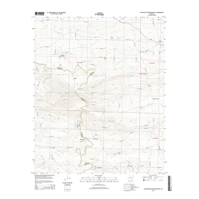
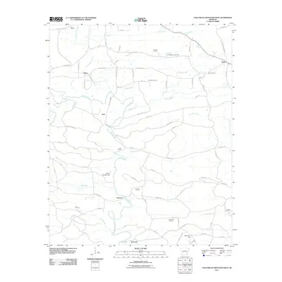 2011 Chalybeate Mountain West2011 Print · USGSCovers Nutts, including Graysonia, Alpine, and other nearby areas
 - 2014 Map of Chalybeate Mountain West, 2014 Print
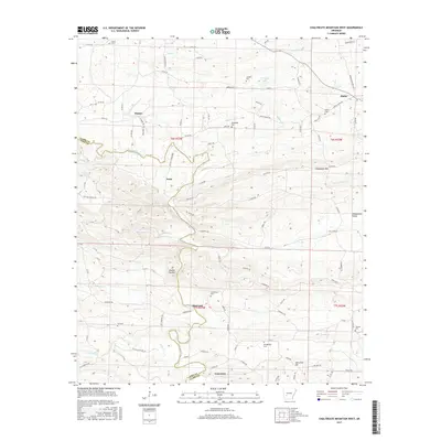
 2014 Chalybeate Mountain West2014 Print · USGSCovers Nutts, including Graysonia, Alpine, and other nearby areas
 - 2017 Map of Chalybeate Mountain West, 2017 Print
 2017 Chalybeate Mountain West2017 Print · USGSCovers Nutts, including Graysonia, Alpine, and other nearby areas
 - 2020 Map of Chalybeate Mountain West, 2020 Print
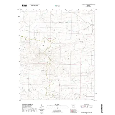 2020 Chalybeate Mountain West2020 Print · USGSCovers Nutts, including Graysonia, Alpine, and other nearby areas
 - 2024 Map of Chalybeate Mountain West, 2024 Print
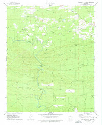
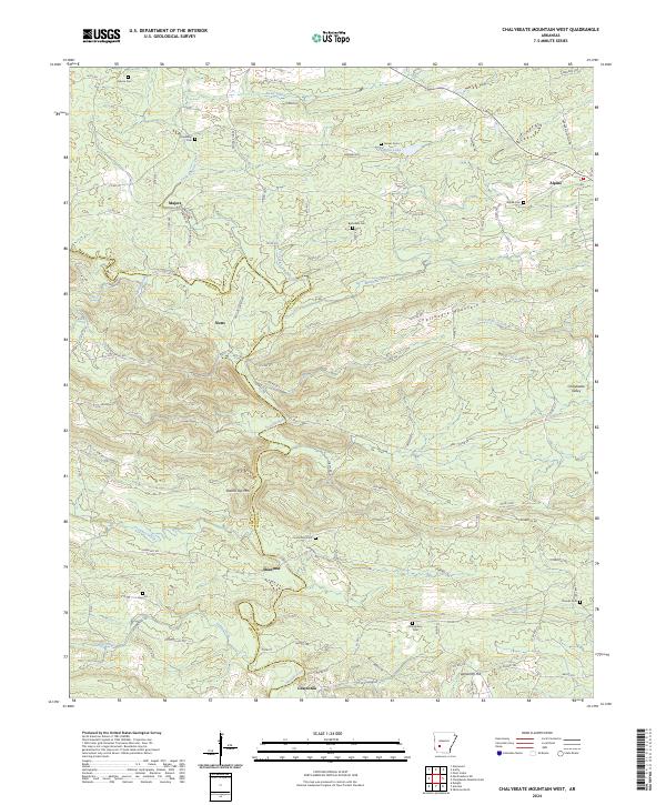 2024 Chalybeate Mountain West2024 Print · USGSSouthwest Arkansas at the edge of the Ouachita foothills remains a place of quiet rural crossroads and historic family burial grounds. Local historians can trace the paths between Majors, Shawmut, and Graysonia or locate numerous landmarks like Garner Cem and Round Top Mtn.
End of results
Showing maps 1-12 of 12
Top cities near Nutts
- Murfreesboro historical maps
- Amity historical maps
- Delight historical maps
- Okolona historical maps
- Antoine historical maps
Frequently asked questions
- What are the different types of historical maps available for Nutts?
- What is the oldest map of Nutts?
- Where can I purchase historical maps of Nutts for my home or office?
- Where can I download high-res historical maps of Nutts?
- Are there historical topographic maps available for Nutts?
- Is there historical aerial imagery available for Nutts?
- Where are historical maps of Nutts sourced from?