2020s Maps of Polk County, Arkansas
Explore 45 historic maps of Polk County from the 2020s. These maps offer a rare glimpse into what life looked like during the 2020s — showing old roads, neighborhoods, homes, and landmarks that have changed or disappeared over time.
Whether you're researching your family's past, planning a metal detecting trip, or studying how Polk County's landscape evolved across the 2020s, these high-resolution maps are a powerful tool for exploring the history of this region.
- Focus on a specific era: All maps on this page are from the 2020s, giving you a focused view of this time period.
- See what’s changed: Compare century-old streets, trails, and buildings to today's modern landscape using overlays and satellite layers.
- Research with precision: Use these maps for genealogy, historical research, land use analysis, or educational projects.
- View, download, or print: Maps are fully viewable online in high resolution, and can be downloaded or printed for your own records.
Start exploring Polk County's history through authentic maps from the 2020s. This is your window into the past.
Polk County, AR maps
(45)- 2020 Map of Cove, 2020 Print
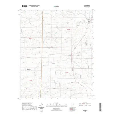 2020 Cove2020 Print · USGSWestern Arkansas at the start of the 2020s shows a landscape defined by the rugged creeks of Polk County and the Oklahoma border. Local historians can trace family roots through markers like Cecil Chapel Cem and the small settlements of Hatfield and Plunketville.
 - 2020 Map of Eagle Mountain, 2020 Print
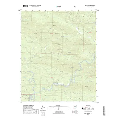 2020 Eagle Mountain2020 Print · USGSIn the heart of the Ouachita Mountains, this recent survey captures the remote backcountry of Polk County. Outdoor enthusiasts and local historians can trace the course of the Cossatot Wild and Scenic River or locate landmarks like Gillham Springs and Eagle Mountain.
 - 2020 Map of De Queen NW, 2020 Print
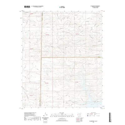 2020 De Queen NW2020 Print · USGSThe Oklahoma and Arkansas state line meets at the intersection of McCurtain, Polk, and Sevier counties in this modern survey of the timbered Ouachita foothills. Genealogists can locate Oak Grove Cem and Mill Creek Cem among the drainages of Rolling Fork and Mill Creek.
 - 2020 Map of Big Fork, 2020 Print
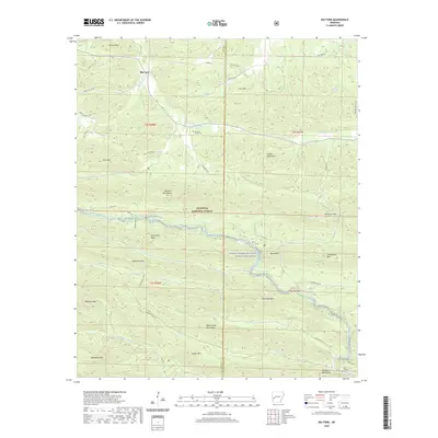 2020 Big Fork2020 Print · USGSThe Ouachita highlands of Polk and Montgomery counties are captured here in the recent era, showing a landscape defined by ridgelines and river headwaters. Researchers can trace rural landmarks and cemeteries such as Pleasant Grove Cem, Rock Springs Cem, and the winding Caddo River.
 - 2020 Map of Athens, 2020 Print
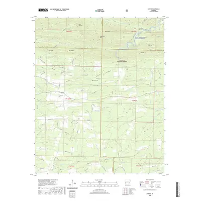 2020 Athens2020 Print · USGSAthens and the surrounding Ouachita National Forest are shown in this recent survey of the Arkansas highlands. Local researchers can trace family landmarks and burial sites like Athens Cem or Putman Cem along the winding Little Missouri River.
 - 2020 Map of Buck Knob, 2020 Print
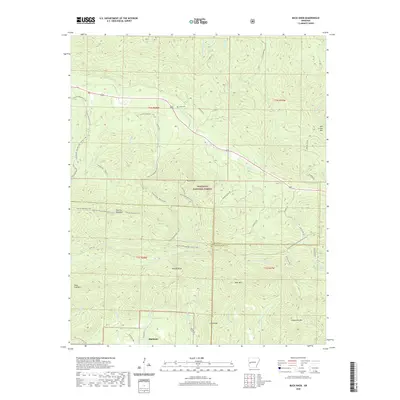 2020 Buck Knob2020 Print · USGSHighland and the high ridges of the Ouachita Mountains are captured here in the early twenty-first century. Genealogists and hikers can trace remote landmarks like Lyons Cem, the Ouachita National Recreation Trail, and the peaks of Buck Knob and Fourche Mountain.
 - 2020 Map of Gillham Dam, 2020 Print
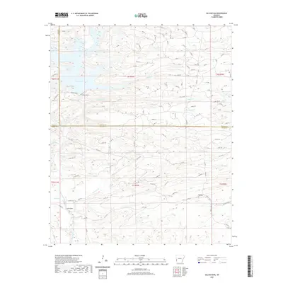 2020 Gillham Dam2020 Print · USGSThe Cossatot River and Gillham Lake region at the turn of the decade shows a landscape shaped by water management and forest access. Genealogists can trace family sites at Old New Hope Cem and Cossatot Cem or locate the crossing at Ladds Bridge.
 - 2020 Map of Baker Springs, 2020 Print
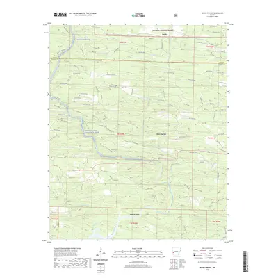 2020 Baker Springs2020 Print · USGSThe highlands of western Arkansas are captured here in 2020, showing a landscape defined by the Cossatot Wild and Scenic River and the timber industry. Trace the historic Duckett Ford and local burial grounds like Duckett Cem.
 - 2020 Map of Wickes, 2020 Print
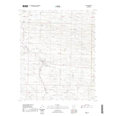 2020 Wickes2020 Print · USGSThe rail-corridor towns of Polk County are captured here in the early twenty-first century as they follow the line of the Kansas City Southern. Family historians can locate several rural burial grounds including Witherspoon Cem and Baker Cem or trace the geography of the Cross Mountains.
 - 2020 Map of Vandervoort, 2020 Print
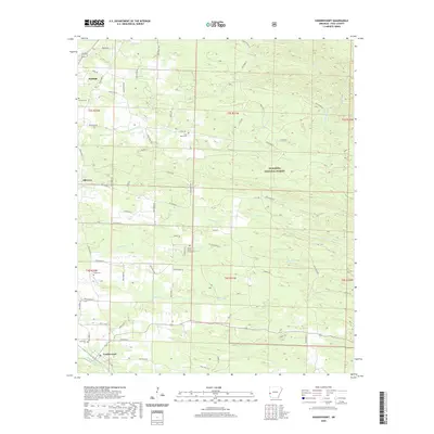 2020 Vandervoort2020 Print · USGSWestern Polk County at the edge of the woods, where the settlements of Vandervoort and Hatfield meet the rising terrain of the Ouachita Mountains. You can trace early burial sites and rural communities at Lone Valley Cem, Old Cove, and Sixmile Cem.
 - 2020 Map of Mena, 2020 Print
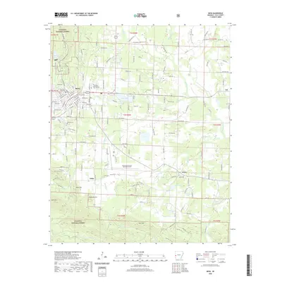 2020 Mena2020 Print · USGSMena and the surrounding Ouachita foothills are captured here during a period of sustained mountain-valley settlement. Genealogists and local historians can locate several rural burying grounds including Corinth Cem and Owens Cem, or trace the geography of the Ouachita National Forest near Rich Mountain.
 - 2020 Map of Bog Springs, 2020 Print
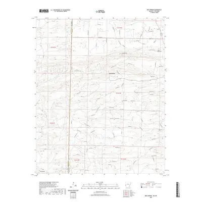 2020 Bog Springs2020 Print · USGSThe Oklahoma and Arkansas border comes into focus in this recent survey of Polk County. Genealogists and local historians can trace the geography around Bog Springs and Oak Grove Cemetery or locate landmarks like Whiskey Peak.
 - 2020 Map of Pine Ridge, 2020 Print
 2020 Pine Ridge2020 Print · USGSThe Polk and Montgomery county line runs through this timbered mountain landscape during the early twenty-first century. Genealogists and local historians can trace family locations at Cherry Hill, Pine Ridge, and burial sites at Wilhite Cem or Hillside Cem.
 - 2020 Map of Potter, 2020 Print
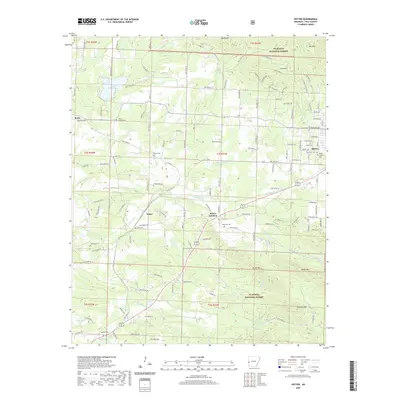 2020 Potter2020 Print · USGSPolk County at the edge of the Ouachita Mountains shows a blend of forest wilderness and rural life in the 2020s. Researchers can trace family roots at Gann Cemetery and Rocky Cemetery or follow the waters of Mountain Fork near Potter.
 - 2020 Map of Board Camp, 2020 Print
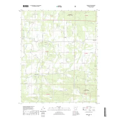 2020 Board Camp2020 Print · USGSThe Ouachita River valley of Polk County is mapped here in the modern era, showing the intersection of rural life and federal forest lands. Local history enthusiasts can trace established settlements like Board Camp and Ink, or locate burial sites such as Concord Cem and Yocana Cem.
 - 2020 Map of Mountain Fork, 2020 Print
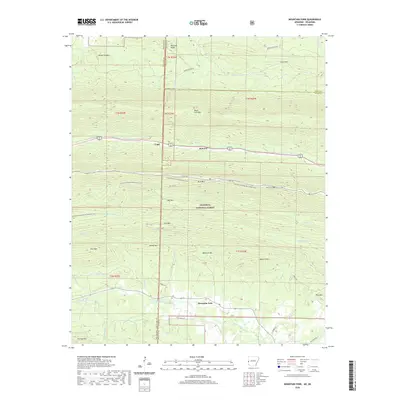 2020 Mountain Fork2020 Print · USGSThe Ouachita highlands along the Oklahoma and Arkansas border are shown here at the start of the 2020s. Researchers can locate remote mountain burials at Heely Cem and Pioneer Cem or trace the early paths of Fogel and Mountain Fork.
 - 2020 Map of Acorn, 2020 Print
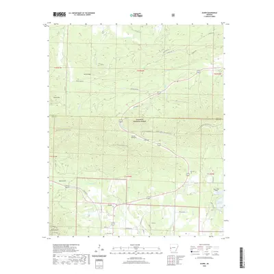 2020 Acorn2020 Print · USGSThe high ridges of the Ouachita Mountains are captured here in the decade before the 2020s, showcasing the remote terrain of Polk and Scott Counties. Local historians and genealogists can trace the Ouachita National Recreation Trail or locate the Foran Cemetery and the settlement of Acorn.
 - 2020 Map of Rich Mountain, 2020 Print
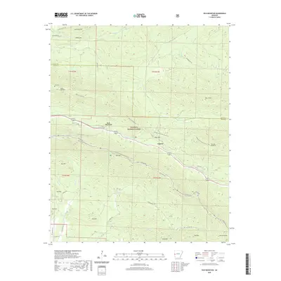 2020 Rich Mountain2020 Print · USGSThe Ouachita Mountains at the Arkansas border are captured here in high detail, showing the intersection of forest service life and remote settlements. Genealogists can locate family sites like Sexton Cem and Little Cem tucked between Rich Mountain and Black Fork Mountain.
 - 2020 Map of Umpire, 2020 Print
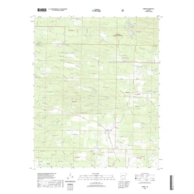 2020 Umpire2020 Print · USGSThe northern edge of Howard County was a landscape of timber roads and quiet settlements during this 2020 survey. Genealogists and historians can trace family locations near Umpire, Mineola, and several rural burial grounds like Union Cem and Saline Cem.
 - 2020 Map of Y City, 2020 Print
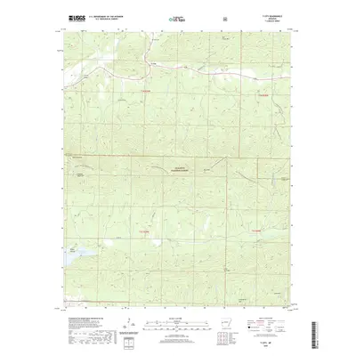 2020 Y City2020 Print · USGSY City and the surrounding Ouachita National Forest are shown here in the 2020s at the junction of the Scott and Polk county line. Researchers can locate the Chant Cem, trace the Ouachita National Recreation Trail, and find the Irons Fork Reservoir.
 - 2020 Map of Gillham, 2020 Print
 2020 Gillham2020 Print · USGSGrannis and Gillham sit at the crossroads of the timber country during the late twenty-teens. Genealogists and local historians can trace family roots through several rural burial sites, including Grannis Cem, Mineral Cem, and Holly Grove Cem.
 - 2020 Map of Nichols Mountain, 2020 Print
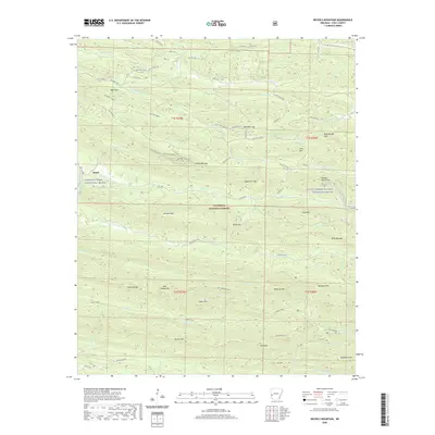 2020 Nichols Mountain2020 Print · USGSThe Ouachita National Forest comes alive in this modern survey of Polk County, showing the crossroads of timber and tourism near the settlement of Shady. Local historians and explorers can trace the Wolf Pen Gap trail network or locate Bard Springs and Nichols Mtn.
 - 2022 Map of Zafra, 2022 Print
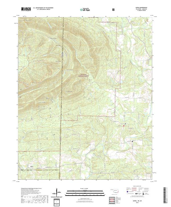 2022 Zafra2022 Print · USGSCrossing the Oklahoma-Arkansas border in the early 21st century, this area shows the intersection of deep forest management and small rural outposts. Genealogists can locate family landmarks like Stinett-Cem and Gann Cem near the banks of the Mountain Fork river.
 - 2024 Map of Potter, 2024 Print
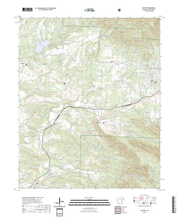 2024 Potter2024 Print · USGSPolk County, Arkansas, reveals its rugged forest-and-valley character in this 2024 topographic survey. Researchers can trace family history at numerous sites like McKinney Cem, Gann Cem, and the rural crossroads of Potter Junction.
 - 2024 Map of Bog Springs, 2024 Print
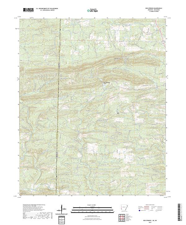 2024 Bog Springs2024 Print · USGSThe Ouachita highlands along the Arkansas-Oklahoma border are documented here in recent detail, showing a landscape of high ridges and isolated mountain hollows. Genealogists and local historians can trace the rural roads leading to Bog Springs and Oak Grove Cem, or locate landmarks like Whiskey Peak and Twin Springs.
Showing maps 1-25 of 45
Top cities of Polk County
- Mena historical maps
- Wickes historical maps
- Grannis historical maps
- Hatfield historical maps
- Cove historical maps
- Vandervoort historical maps
Frequently asked questions
- What are the different types of historical maps available for Polk County?
- What is the oldest map of Polk County?
- Where can I purchase historical maps of Polk County for my home or office?
- Where can I download high-res historical maps of Polk County?
- Are there historical topographic maps available for Polk County?
- Is there historical aerial imagery available for Polk County?
- Where are historical maps of Polk County sourced from?