2010s Maps of Polk County, Arkansas
Explore 70 historic maps of Polk County from the 2010s. These maps offer a rare glimpse into what life looked like during the 2010s — showing old roads, neighborhoods, homes, and landmarks that have changed or disappeared over time.
Whether you're researching your family's past, planning a metal detecting trip, or studying how Polk County's landscape evolved across the 2010s, these high-resolution maps are a powerful tool for exploring the history of this region.
- Focus on a specific era: All maps on this page are from the 2010s, giving you a focused view of this time period.
- See what’s changed: Compare century-old streets, trails, and buildings to today's modern landscape using overlays and satellite layers.
- Research with precision: Use these maps for genealogy, historical research, land use analysis, or educational projects.
- View, download, or print: Maps are fully viewable online in high resolution, and can be downloaded or printed for your own records.
Start exploring Polk County's history through authentic maps from the 2010s. This is your window into the past.
Polk County, AR maps
(70)- 2011 Map of Big Fork, 2011 Print
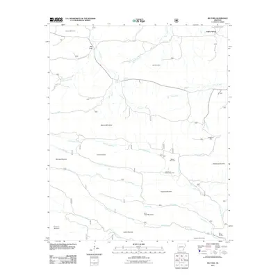 2011 Big Fork2011 Print · USGSBig Fork and the Ouachita high country are captured here in the early twenty-first century as the landscape transitioned through modern forest management. Researchers can find family sites at Huddleston Cemetery, trace the Caddo River headwaters, or locate the Little Missouri Falls Recreation Area.
 - 2011 Map of Buck Knob, 2011 Print
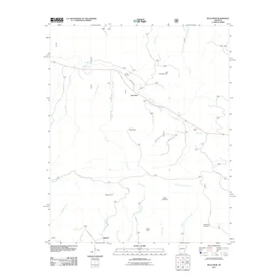 2011 Buck Knob2011 Print · USGSHighland and the surrounding mountains of western Arkansas are captured here in the early twenty-first century. Researchers can locate Lyons Cemetery and trace the winding paths of Hole in the Ground Creek and Irons Fork through the valleys of Buck Knob.
 - 2011 Map of Athens, 2011 Print
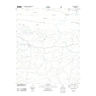 2011 Athens2011 Print · USGSNear the Cossatot Mountains in the early twenty-first century, this Arkansas landscape centers on the mountain settlement of Athens. Researchers can trace old family burial grounds like Putman Cemetery and White Oak Cemetery or explore the river corridor near the Albert Pike Recreation Area.
 - 2011 Map of Pine Ridge, 2011 Print
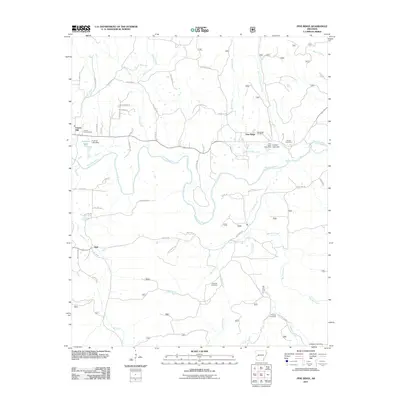 2011 Pine Ridge2011 Print · USGSPolk County's rural heartland is documented here in the early twenty-first century, centered on the winding Ouachita River. Genealogists and historians can trace numerous family landmarks, from the Pine Ridge Post Office to historic burial sites like Hillside Cemetery and Edwards Cemetery.
 - 2011 Map of Nichols Mountain, 2011 Print
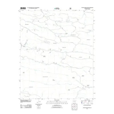 2011 Nichols Mountain2011 Print · USGSThe Ouachita Mountains of Polk County are captured here in the early twenty-first century, showing a landscape defined by high ridges and deep river headwaters. Researchers can locate the mountain community of Shady, navigate the passes at Wolf Pen Gap, or trace the course of the Little Missouri River.
 - 2011 Map of Zafra, 2011 Print
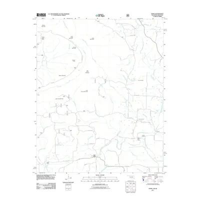 2011 Zafra2011 Print · USGSThe Arkansas-Oklahoma border comes alive in this study of the Ouachita foothills near the start of the century. Genealogists and hikers can trace the paths between Zafra and West Valley, finding rural landmarks like Stinett Cemetery, Gann Cemetery, and Camp Pioneer.
 - 2011 Map of Acorn, 2011 Print
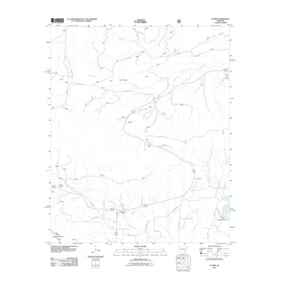 2011 Acorn2011 Print · USGSThe Ouachita River valley near Acorn is captured in this recent survey, showcasing the rural road networks and natural drainage of Polk County. Genealogists and hikers can trace local landmarks like Foran Cemetery, the heights of Round Top Mountain, and the Irons Fork Creek Watershed Site 1 Dam.
 - 2011 Map of Board Camp, 2011 Print
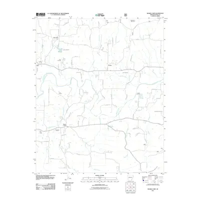 2011 Board Camp2011 Print · USGSPolk County communities east of Mena are documented here during the early twenty-first century. Genealogists and local researchers can locate family plots at Board Camp Cemetery and Liberty Cemetery or trace the drainage of the Ouachita River.
 - 2011 Map of Vandervoort, 2011 Print
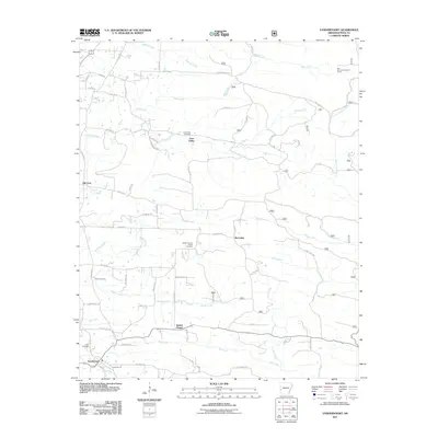 2011 Vandervoort2011 Print · USGSPolk County at the start of the 2010s reveals a quiet landscape of rural settlements and family-named landmarks. Genealogists and local historians can trace connections between Lone Valley, McCauley, and Old Cove, or locate burial sites like Foote Cemetery and Cecil Cemetery.
 - 2011 Map of Mena, 2011 Print
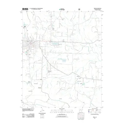 2011 Mena2011 Print · USGSMena and its surrounding Polk County foothills are shown in detail during the early 2010s as the regional hub continues to grow. Researchers can trace the path of the Kansas City Southern railroad or locate local landmarks like Nunley Cemetery and the Bethesda Church.
 - 2011 Map of Y City, 2011 Print
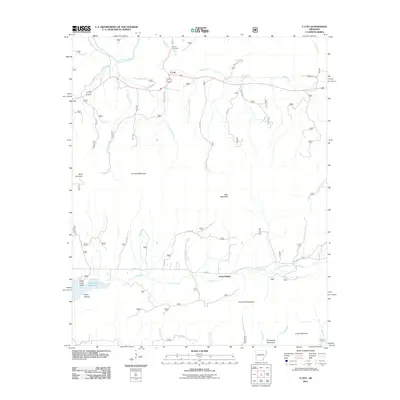 2011 Y City2011 Print · USGSThe Ouachita Mountain backcountry of Polk County is documented here in the early twenty-first century, showing the crossroads at Y City and the surrounding river valleys. Researchers can trace family sites near Chant Cemetery, the waters of the Irons Fork Reservoir, and the terrain of Posey Hollow.
 - 2011 Map of Umpire, 2011 Print
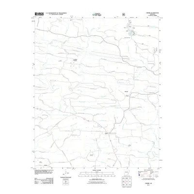 2011 Umpire2011 Print · USGSUmpire and the surrounding Saline River valley are shown here in the early twenty-first century, revealing a rural landscape of timber roads and scattered settlements. Genealogists can trace family footprints across numerous sites including Cedar Hill Cemetery, Mineola, and the Umpire Post Office.
 - 2011 Map of Eagle Mountain, 2011 Print
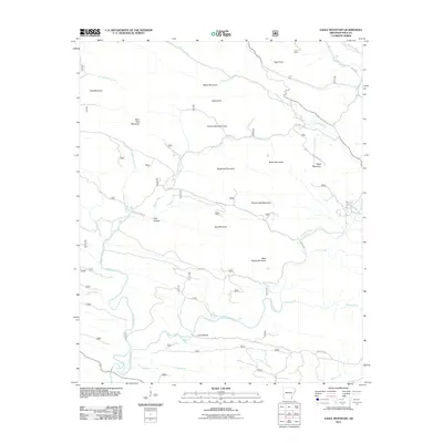 2011 Eagle Mountain2011 Print · USGSThe Ouachita Mountains of Polk County are captured here in the early 2000s, showing a landscape defined by the Cossatot River and its high timbered ridges. Researchers can locate remote landmarks like Boar Tusk Mountain, Gillham Springs, and the deep terrain of Dog Hollow.
 - 2011 Map of Rich Mountain, 2011 Print
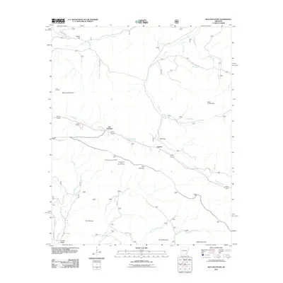 2011 Rich Mountain2011 Print · USGSWestern Arkansas high country is documented here in the early twenty-first century, centered on the prominent ridges of the Ouachita range. You can trace the geography of local settlements and landmarks like Eagleton, the Rich Mountain Lookout Tower, and Sexton Cemetery.
 - 2011 Map of Potter, 2011 Print
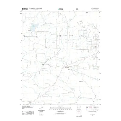 2011 Potter2011 Print · USGSPolk County in the Ouachita Mountains region appears here in the early twenty-first century, showing a landscape defined by high ridges and rural settlements. Genealogists can locate several historic burial sites like Rocky Cemetery and Antioch Cemetery alongside landmarks such as Lake Wilhelmina and Potter.
 - 2011 Map of Mountain Fork, 2011 Print
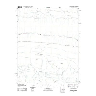 2011 Mountain Fork2011 Print · USGSThe LeFlore County highlands are captured here in the early 2000s, showing a rugged landscape of parallel mountain ridges and forest service routes. Genealogists and hikers can trace sites like Pioneer Cemetery, Howard, and the waters of Mountain Fork.
 - 2011 Map of Wickes, 2011 Print
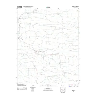 2011 Wickes2011 Print · USGSWickes and Hatton anchor this Polk County landscape during the early 2000s, showing a rural community defined by its creek valleys and gap passes. Genealogists can trace family roots at Witherspoon Cemetery, Crystal Hill Cemetery, or Baker Cemetery while exploring landmarks like Bradley Gap.
 - 2011 Map of De Queen NW, 2011 Print
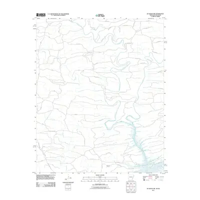 2011 De Queen NW2011 Print · USGSThe Oklahoma-Arkansas borderlands at the start of the 2010s are defined here by the winding waters of Robinson Creek and Rolling Fork. Genealogists and researchers can trace local connections at Mill Creek Cemetery or follow historic paths like Old Hochatown Rd.
 - 2011 Map of Bog Springs, 2011 Print
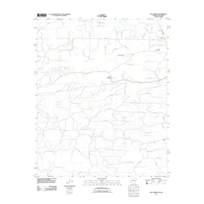 2011 Bog Springs2011 Print · USGSThe rural uplands of Polk County come into focus during the early 2000s, showing a landscape of high ridges and winding creek bottoms. Researchers can trace family homesteads and old routes near Bog Springs, Whiskey Peak, and the Hatton Post Office.
 - 2011 Map of Cove, 2011 Print
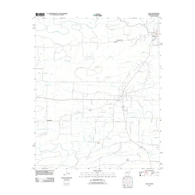 2011 Cove2011 Print · USGSWestern Arkansas life is captured here in the early twenty-first century, centered on the historic communities of Hatfield and Cove. Genealogists and local historians can trace burial grounds and family landmarks across Buffalo Cemetery, Sixmile Cemetery, and Plunketville.
 - 2011 Map of Gillham Dam, 2011 Print
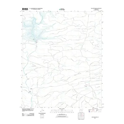 2011 Gillham Dam2011 Print · USGSThe Cossatot River corridor is mapped in the early twenty-first century, showing a landscape of reservoirs and rural forest roads. Trace local heritage at the Cossatot Cemetery and locate traditional river crossings like Three Shoot Ford or Ladds Bridge.
 - 2011 Map of Gillham, 2011 Print
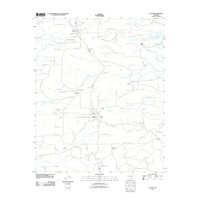 2011 Gillham2011 Print · USGSThe rural landscape of Sevier and Polk counties is documented here in the early twenty-first century, centered on the communities of Grannis and Gillham. Researchers can trace old family burial sites at Grannis Cemetery and Mineral Cemetery or explore the hydrography of Gillham Lake.
 - 2011 Map of Baker Springs, 2011 Print
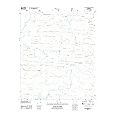 2011 Baker Springs2011 Print · USGSThe rural reaches of Arkansas are documented here in the early twenty-first century, centered on the Cossatot River and its timber-country road networks. Local historians can trace numerous river crossings like Duckett Ford and Church Ford, alongside the quiet settlements of Baker Springs and Hartley.
 - 2013 Map of Zafra, 2013 Print
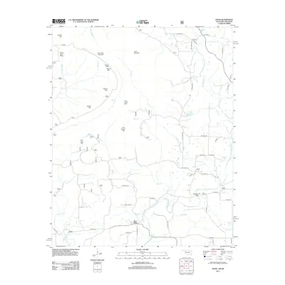 2013 Zafra2013 Print · USGSThe Arkansas-Oklahoma borderlands in the early twenty-first century are defined by the rugged ridges of the Ouachita Mountains and the winding Mountain Fork. Researchers can trace local heritage through Stinett Cem, Gann Cem, and the rural settlement at West Valley.
 - 2014 Map of Eagle Mountain, 2014 Print
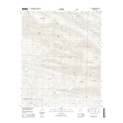 2014 Eagle Mountain2014 Print · USGSThe high ridges of the Ouachita Mountains define this Polk County landscape during the early twenty-first century. Outdoorsmen and local historians can trace the paths of the Cossatot River and locate remote landmarks like Gillham Springs and Dog Hollow.
Showing maps 1-25 of 70
Top cities of Polk County
- Mena historical maps
- Wickes historical maps
- Grannis historical maps
- Hatfield historical maps
- Cove historical maps
- Vandervoort historical maps
Frequently asked questions
- What are the different types of historical maps available for Polk County?
- What is the oldest map of Polk County?
- Where can I purchase historical maps of Polk County for my home or office?
- Where can I download high-res historical maps of Polk County?
- Are there historical topographic maps available for Polk County?
- Is there historical aerial imagery available for Polk County?
- Where are historical maps of Polk County sourced from?