2000s (21st Century) Maps of Polk County, Arkansas
Explore 115 historic maps of Polk County from the 2000s (21st Century). These maps offer a rare glimpse into what life looked like during the 2000s — showing old roads, neighborhoods, homes, and landmarks that have changed or disappeared over time.
Whether you're researching your family's past, planning a metal detecting trip, or studying how Polk County's landscape evolved across the 2000s, these high-resolution maps are a powerful tool for exploring the history of this region.
- Focus on a specific era: All maps on this page are from the 2000s, giving you a focused view of this time period.
- See what’s changed: Compare century-old streets, trails, and buildings to today's modern landscape using overlays and satellite layers.
- Research with precision: Use these maps for genealogy, historical research, land use analysis, or educational projects.
- View, download, or print: Maps are fully viewable online in high resolution, and can be downloaded or printed for your own records.
Start exploring Polk County's history through authentic maps from the 2000s. This is your window into the past.
Polk County, AR maps
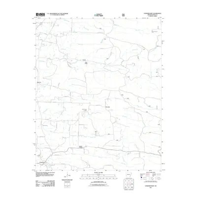
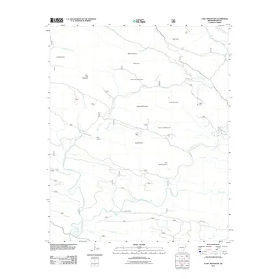
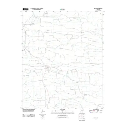
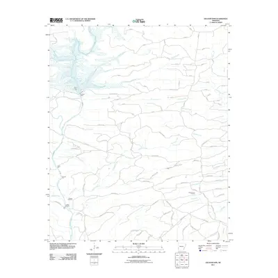
(115)- 2011 Map of Big Fork, 2011 Print
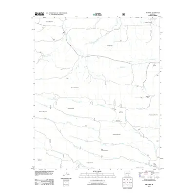 2011 Big Fork2011 Print · USGSCovers Polk County, including Sulphur Springs, Big Fork, and other nearby areas
 - 2011 Map of Buck Knob, 2011 Print
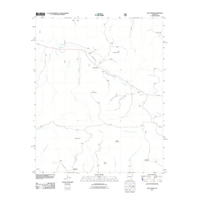 2011 Buck Knob2011 Print · USGSCovers Polk County, including Highland, Buck Knob, and other nearby areas
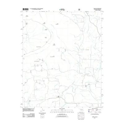
 - 2011 Map of Athens, 2011 Print
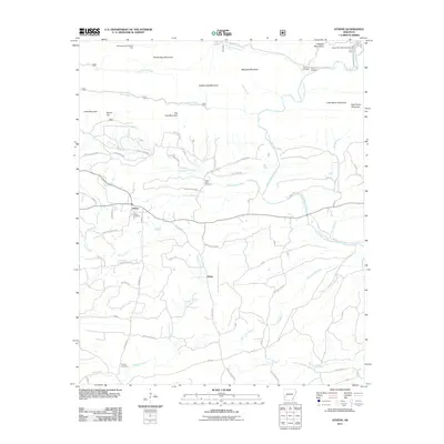 2011 Athens2011 Print · USGSCovers Polk County, including Albert, Henry, and other nearby areas
 - 2011 Map of Pine Ridge, 2011 Print
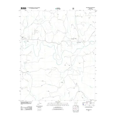 2011 Pine Ridge2011 Print · USGSCovers Polk County, including Opal, Pine Ridge, and other nearby areas
 - 2011 Map of Nichols Mountain, 2011 Print
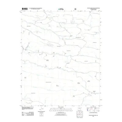 2011 Nichols Mountain2011 Print · USGSCovers Polk County, including Shady, United States, and other nearby areas
 - 2011 Map of Zafra, 2011 Print
 2011 Zafra2011 Print · USGSCovers Polk County, including West Valley, Zafra, and other nearby areas
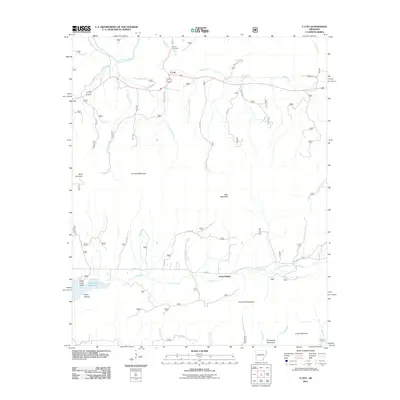
 - 2011 Map of Acorn, 2011 Print
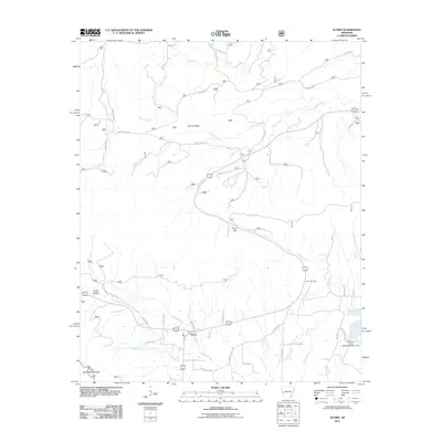 2011 Acorn2011 Print · USGSCovers Polk County, including Acorn, Scott County, and other nearby areas
 - 2011 Map of Board Camp, 2011 Print
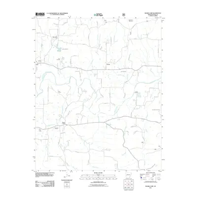 2011 Board Camp2011 Print · USGSCovers Polk County, including Pine Grove, Board Camp, and other nearby areas
 - 2011 Map of Vandervoort, 2011 Print
 2011 Vandervoort2011 Print · USGSCovers Polk County, including Hatfield, Vandervoort, and other nearby areas
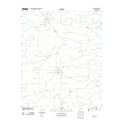
 - 2011 Map of Mena, 2011 Print
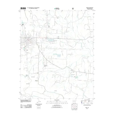 2011 Mena2011 Print · USGSCovers Polk County, including Mena, Corinth, and other nearby areas
 - 2011 Map of Y City, 2011 Print
 2011 Y City2011 Print · USGSCovers Polk County, including Posey Hollow, Y City, and other nearby areas
 - 2011 Map of Umpire, 2011 Print
 2011 Umpire2011 Print · USGSCovers Polk County, including Umpire, Galena, and other nearby areas
 - 2011 Map of Eagle Mountain, 2011 Print
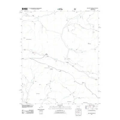
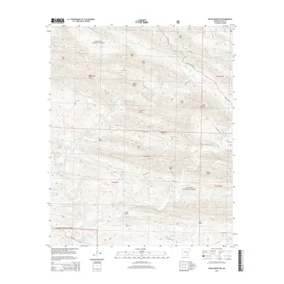
 2011 Eagle Mountain2011 Print · USGSCovers Polk County, including United States, Arkansas, and other nearby areas
 - 2011 Map of Rich Mountain, 2011 Print
 2011 Rich Mountain2011 Print · USGSCovers Polk County, including Center Point, Eagleton, and other nearby areas
 - 2011 Map of Potter, 2011 Print
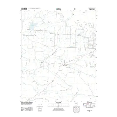 2011 Potter2011 Print · USGSCovers Polk County, including Mena, Olivers Chapel, and other nearby areas
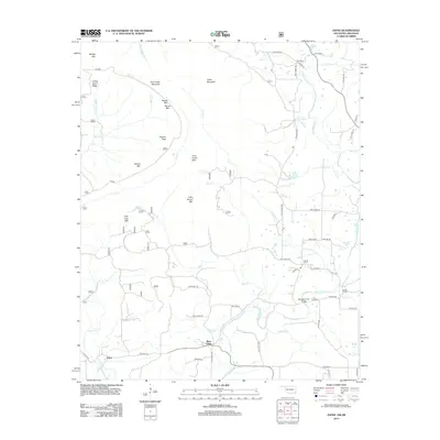
 - 2011 Map of Mountain Fork, 2011 Print
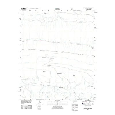 2011 Mountain Fork2011 Print · USGSCovers Polk County, including Fogel, Fogel, and other nearby areas
 - 2011 Map of Wickes, 2011 Print
 2011 Wickes2011 Print · USGSCovers Polk County, including Wickes, Grannis, and other nearby areas
 - 2011 Map of De Queen NW, 2011 Print
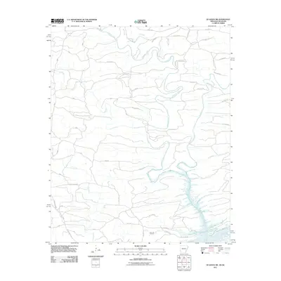 2011 De Queen NW2011 Print · USGSCovers Polk County, including McCurtain County, Sevier County, and other nearby areas
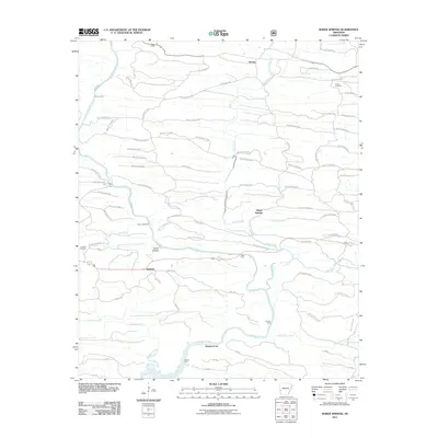
 - 2011 Map of Bog Springs, 2011 Print
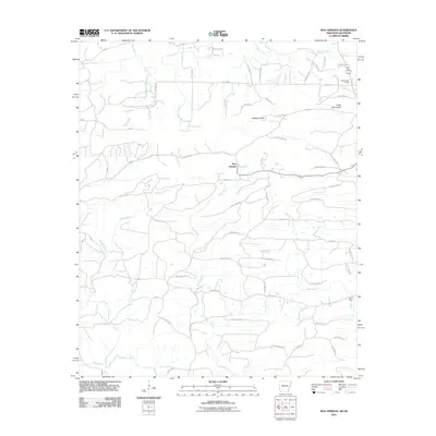 2011 Bog Springs2011 Print · USGSCovers Polk County, including Bog Springs, McCurtain County, and other nearby areas
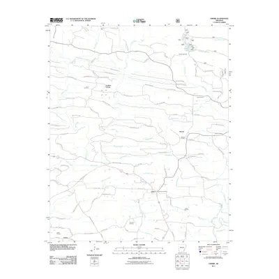
 - 2011 Map of Cove, 2011 Print
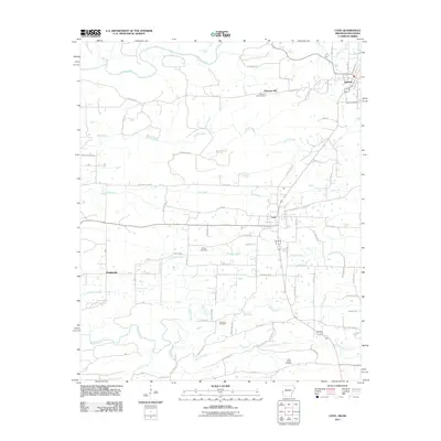 2011 Cove2011 Print · USGSCovers Polk County, including Hatfield, Cove, and other nearby areas
 - 2011 Map of Gillham Dam, 2011 Print
 2011 Gillham Dam2011 Print · USGSCovers Polk County, including Sevier County, Howard County, and other nearby areas
 - 2011 Map of Gillham, 2011 Print
 2011 Gillham2011 Print · USGSCovers Polk County, including Grannis, Gillham, and other nearby areas
 - 2011 Map of Baker Springs, 2011 Print
 2011 Baker Springs2011 Print · USGSCovers Polk County, including Duckett Ford, Duckett, and other nearby areas
 - 2013 Map of Zafra, 2013 Print
 2013 Zafra2013 Print · USGSCovers Polk County, including West Valley, Zafra, and other nearby areas
 - 2014 Map of Eagle Mountain, 2014 Print
 2014 Eagle Mountain2014 Print · USGSCovers Polk County, including United States, Arkansas, and other nearby areas
Showing maps 1-25 of 115
Top cities of Polk County
- Mena historical maps
- Wickes historical maps
- Grannis historical maps
- Hatfield historical maps
- Cove historical maps
- Vandervoort historical maps
Frequently asked questions
- What are the different types of historical maps available for Polk County?
- What is the oldest map of Polk County?
- Where can I purchase historical maps of Polk County for my home or office?
- Where can I download high-res historical maps of Polk County?
- Are there historical topographic maps available for Polk County?
- Is there historical aerial imagery available for Polk County?
- Where are historical maps of Polk County sourced from?