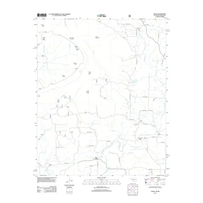
2013 Map of Zafra
USGS Topo · Published 2013About this map
Zafra and West Valley sit at the heart of this Ouachita Mountains borderland, where the terrain is defined by a dense network of ridges and watercourses. High points like Polecat Peak, Cow Creek Mountain, and Turkey Snout Ridge frame the drainage basins of the Mountain Fork and its many tributaries, including Slate Cr and Little Cow Cr. The settlement pattern follows these valleys, connected by a web of local routes such as Polk Road 155 and Polk Road 48.
Find a feature on this map
60 named features on this map. Tap any name to fly to it.
Don’t see what you’re looking for? This feature index may not catch every label — zoom into the map to look around manually.
Map Details
Editions of this 2013 Zafra Map
This is the sole edition of this map. No revisions or reprints were ever made.
Other maps of this area

1890 · Poteau Mountain
USGS Topo · 1:125,000

1899 · Poteau Mountain
USGS Topo · 1:125,000

1900 · Winding Stair
USGS Topo · 1:125,000

1902 · Lukfata
USGS Topo · 1:125,000

1909 · Winding Stair
USGS Topo · 1:125,000

1913 · De Queen
USGS Topo · 1:125,000

1950 · Mcalester
USGS Topo · 1:250,000

1958 · Potter
USGS Topo · 1:62,500

1958 · Zafra
USGS Topo · 1:24,000

1958 · Rich Mountain
USGS Topo · 1:24,000