2000s (21st Century) Maps of Maumelle, Arkansas
Explore 20 historic maps of Maumelle from the 2000s (21st Century). These maps offer a rare glimpse into what life looked like during the 2000s — showing old roads, neighborhoods, homes, and landmarks that have changed or disappeared over time.
Whether you're researching your family's past, planning a metal detecting trip, or studying how Maumelle's landscape evolved across the 2000s, these high-resolution maps are a powerful tool for exploring the history of this region.
- Focus on a specific era: All maps on this page are from the 2000s, giving you a focused view of this time period.
- See what’s changed: Compare century-old streets, trails, and buildings to today's modern landscape using overlays and satellite layers.
- Research with precision: Use these maps for genealogy, historical research, land use analysis, or educational projects.
- View, download, or print: Maps are fully viewable online in high resolution, and can be downloaded or printed for your own records.
Start exploring Maumelle's history through authentic maps from the 2000s. This is your window into the past.
Maumelle, AR maps
(20)- 2011 Map of Cato, 2011 Print
 2011 Cato2011 Print · USGSCovers Maumelle, including Morgan, Gentry Corner, and other nearby areas
 - 2011 Map of Pinnacle Mountain, 2011 Print
 2011 Pinnacle Mountain2011 Print · USGSCovers Maumelle, including Little Rock, North Little Rock, and other nearby areas
 - 2011 Map of Mayflower, 2011 Print
 2011 Mayflower2011 Print · USGSCovers Maumelle, including Mayflower, Palarm, and other nearby areas
 - 2011 Map of North Little Rock, 2011 Print
 2011 North Little Rock2011 Print · USGSCovers Maumelle, including Little Rock, North Little Rock, and other nearby areas
 - 2014 Map of Mayflower, 2014 Print
 2014 Mayflower2014 Print · USGSCovers Maumelle, including Mayflower, Palarm, and other nearby areas
 - 2014 Map of North Little Rock, 2014 Print
 2014 North Little Rock2014 Print · USGSCovers Maumelle, including Little Rock, North Little Rock, and other nearby areas
 - 2014 Map of Cato, 2014 Print
 2014 Cato2014 Print · USGSCovers Maumelle, including Morgan, Gentry Corner, and other nearby areas
 - 2014 Map of Pinnacle Mountain, 2014 Print
 2014 Pinnacle Mountain2014 Print · USGSCovers Maumelle, including Little Rock, North Little Rock, and other nearby areas
 - 2017 Map of Cato, 2017 Print
 2017 Cato2017 Print · USGSCovers Maumelle, including Morgan, Gentry Corner, and other nearby areas
 - 2017 Map of North Little Rock, 2017 Print
 2017 North Little Rock2017 Print · USGSCovers Maumelle, including Little Rock, North Little Rock, and other nearby areas
 - 2017 Map of Pinnacle Mountain, 2017 Print
 2017 Pinnacle Mountain2017 Print · USGSCovers Maumelle, including Little Rock, North Little Rock, and other nearby areas
 - 2017 Map of Mayflower, 2017 Print
 2017 Mayflower2017 Print · USGSCovers Maumelle, including Mayflower, Palarm, and other nearby areas
 - 2020 Map of Cato, 2020 Print
 2020 Cato2020 Print · USGSCovers Maumelle, including Morgan, Gentry Corner, and other nearby areas
 - 2020 Map of North Little Rock, 2020 Print
 2020 North Little Rock2020 Print · USGSCovers Maumelle, including Little Rock, North Little Rock, and other nearby areas
 - 2020 Map of Mayflower, 2020 Print
 2020 Mayflower2020 Print · USGSCovers Maumelle, including Mayflower, Palarm, and other nearby areas
 - 2020 Map of Pinnacle Mountain, 2020 Print
 2020 Pinnacle Mountain2020 Print · USGSCovers Maumelle, including Little Rock, North Little Rock, and other nearby areas
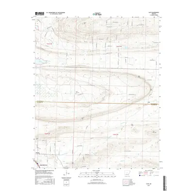
 - 2024 Map of Cato, 2024 Print
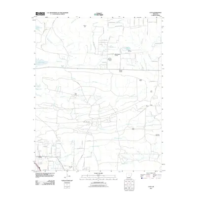
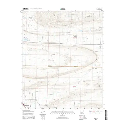
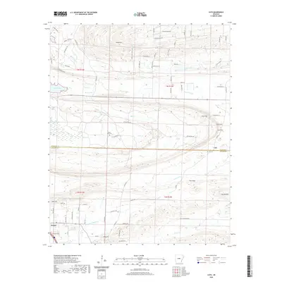
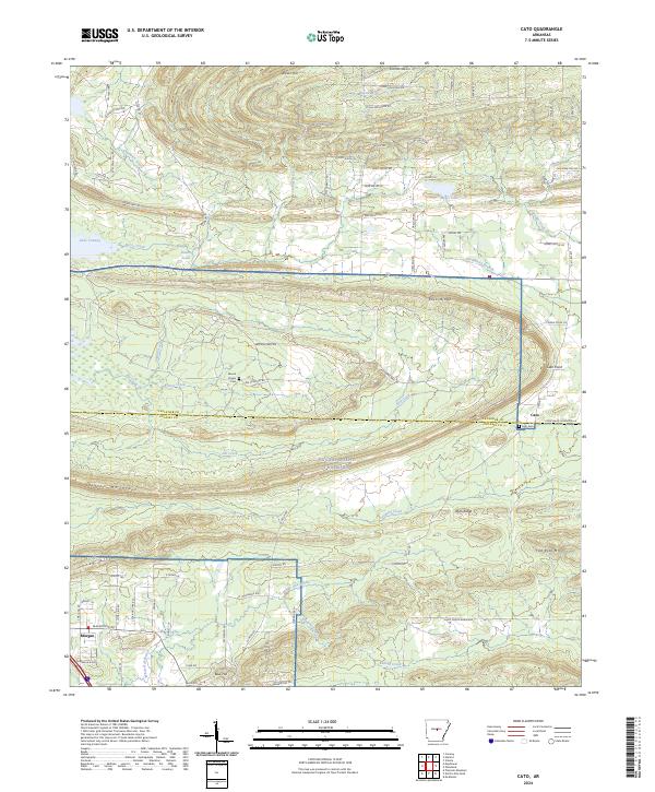 2024 Cato2024 Print · USGSNorth of Little Rock in the mid-2020s, this area shows a landscape defined by military grounds and rural communities. You can trace family history at Cato Cem and Mount Psyam Cem or explore the terrain surrounding Blue Hill and White Oak Bayou.
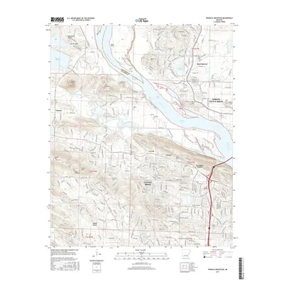
 - 2024 Map of Pinnacle Mountain, 2024 Print
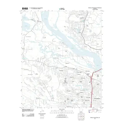
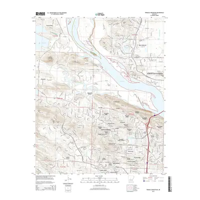
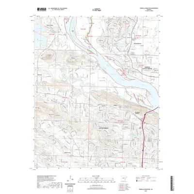
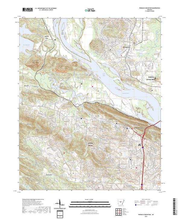 2024 Pinnacle Mountain2024 Print · USGSThe Arkansas River valley near Little Rock underwent significant suburban transformation in the early twenty-first century. Family history researchers can trace local lineage through numerous sites like Natural Steps Cem, Grimmette Cem, and Ivesville.
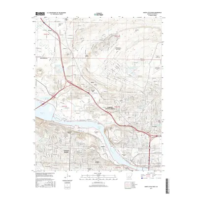
 - 2024 Map of North Little Rock, 2024 Print
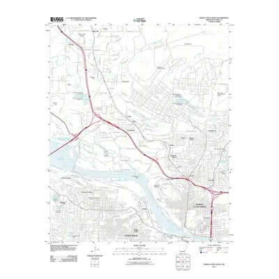
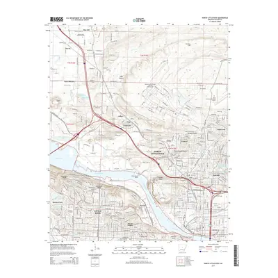
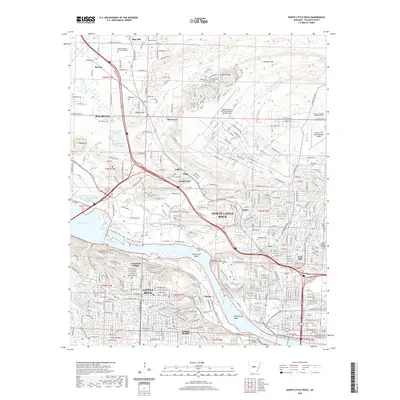
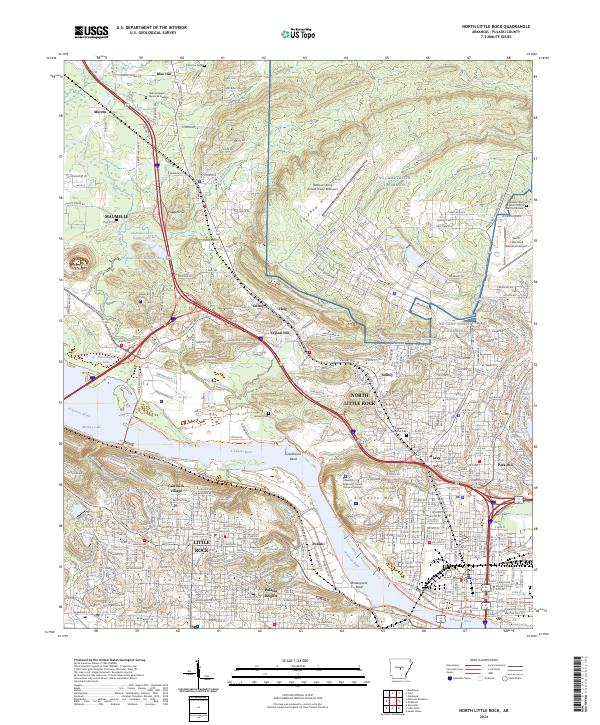 2024 North Little Rock2024 Print · USGSThe Arkansas River corridor at the state capital is shown here in the 2020s, highlighting the area's deep military and urban roots. Trace the footprints of NG Camp Joseph T Robinson, the Union Pacific RR, and established neighborhoods like Cammack Village.
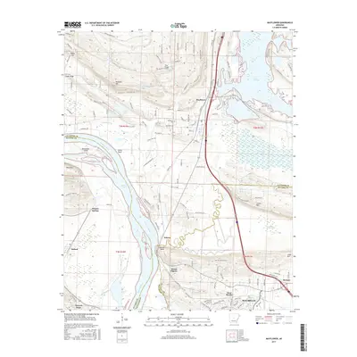
 - 2024 Map of Mayflower, 2024 Print
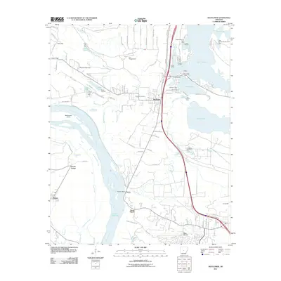
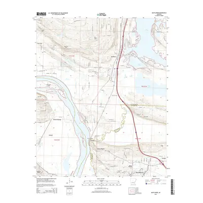
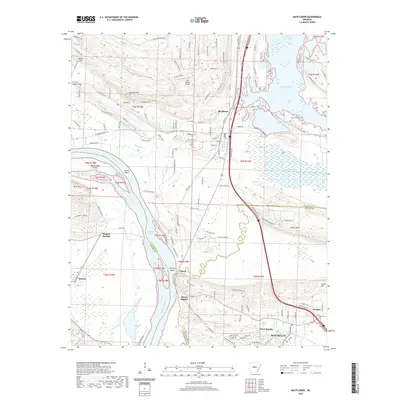
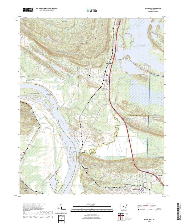 2024 Mayflower2024 Print · USGSThe Arkansas River valley near Mayflower and Lake Conway is shown here in the contemporary era. Researchers can trace the river's path around Beaverdam Island, find local burial grounds at Mayflower Cem, and locate the military boundaries of Camp Joseph Robinson.
End of results
Showing maps 1-20 of 20
Top cities near Maumelle
- Little Rock historical maps
- North Little Rock historical maps
- Conway historical maps
- Jacksonville historical maps
- Benton historical maps
- Sherwood historical maps
See more
Top neighborhoods of Maumelle
Frequently asked questions
- What are the different types of historical maps available for Maumelle?
- What is the oldest map of Maumelle?
- Where can I purchase historical maps of Maumelle for my home or office?
- Where can I download high-res historical maps of Maumelle?
- Are there historical topographic maps available for Maumelle?
- Is there historical aerial imagery available for Maumelle?
- Where are historical maps of Maumelle sourced from?