2000s (21st Century) Maps of Van Buren County, Arkansas
Explore 115 historic maps of Van Buren County from the 2000s (21st Century). These maps offer a rare glimpse into what life looked like during the 2000s — showing old roads, neighborhoods, homes, and landmarks that have changed or disappeared over time.
Whether you're researching your family's past, planning a metal detecting trip, or studying how Van Buren County's landscape evolved across the 2000s, these high-resolution maps are a powerful tool for exploring the history of this region.
- Focus on a specific era: All maps on this page are from the 2000s, giving you a focused view of this time period.
- See what’s changed: Compare century-old streets, trails, and buildings to today's modern landscape using overlays and satellite layers.
- Research with precision: Use these maps for genealogy, historical research, land use analysis, or educational projects.
- View, download, or print: Maps are fully viewable online in high resolution, and can be downloaded or printed for your own records.
Start exploring Van Buren County's history through authentic maps from the 2000s. This is your window into the past.
Van Buren County, AR maps
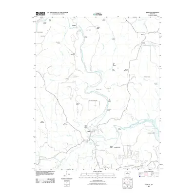
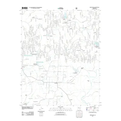
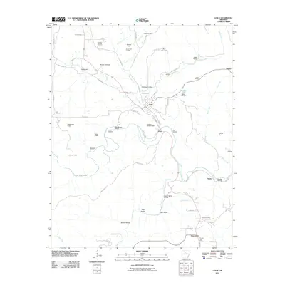
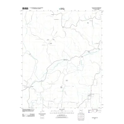
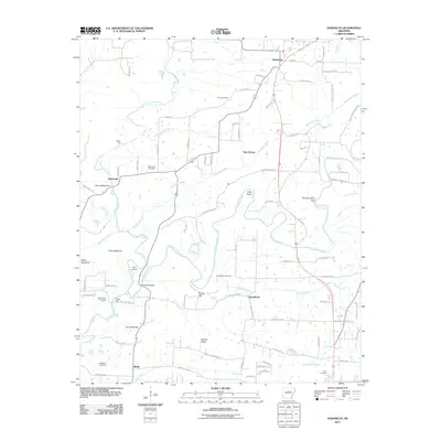
(115)- 2011 Map of Guy, 2011 Print
 2011 Guy2011 Print · USGSCovers Van Buren County, including Greenbrier, Guy, and other nearby areas
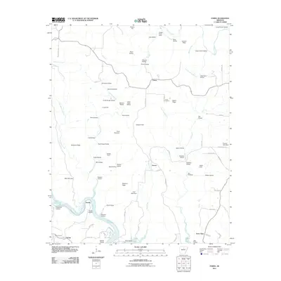
 - 2011 Map of Cleveland, 2011 Print
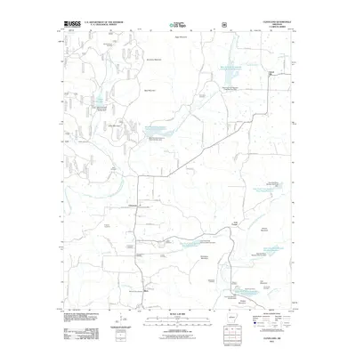 2011 Cleveland2011 Print · USGSCovers Van Buren County, including Gravel Hill, Lost Corner, and other nearby areas
 - 2011 Map of Shirley, 2011 Print
 2011 Shirley2011 Print · USGSCovers Van Buren County, including Fairfield Bay, Shirley, and other nearby areas
 - 2011 Map of Bee Branch, 2011 Print
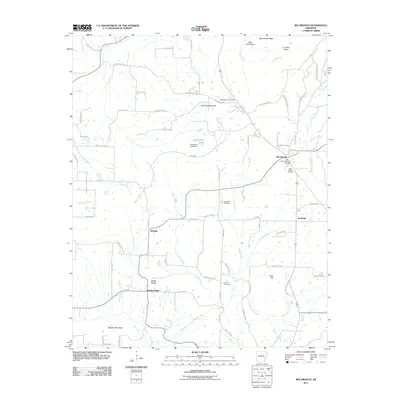 2011 Bee Branch2011 Print · USGSCovers Van Buren County, including Bee Branch, Southside, and other nearby areas
 - 2011 Map of Quitman, 2011 Print
 2011 Quitman2011 Print · USGSCovers Van Buren County, including Quitman, Pearson, and other nearby areas
 - 2011 Map of Clinton, 2011 Print
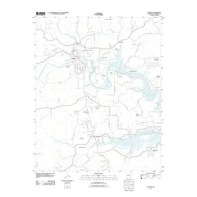 2011 Clinton2011 Print · USGSCovers Van Buren County, including Clinton, Pee Dee, and other nearby areas
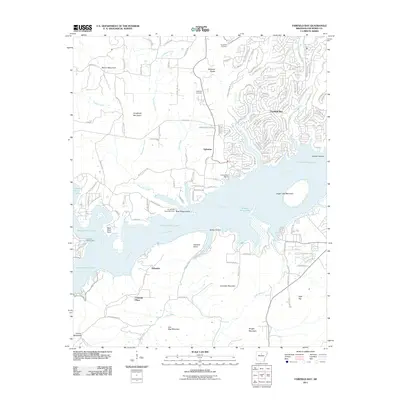
 - 2011 Map of Formosa, 2011 Print
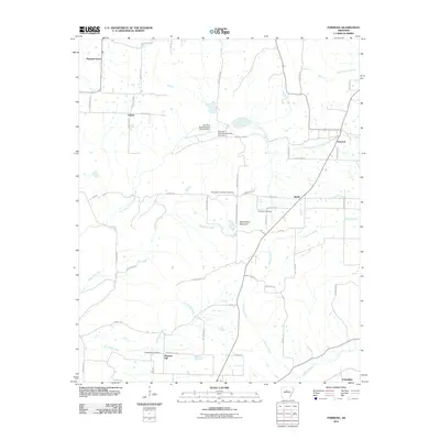 2011 Formosa2011 Print · USGSCovers Van Buren County, including Pleasant Grove, Pleasant Hill, and other nearby areas
 - 2011 Map of Morganton, 2011 Print
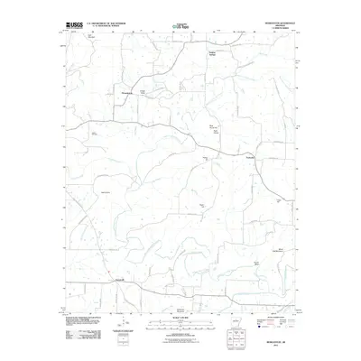 2011 Morganton2011 Print · USGSCovers Van Buren County, including Gravesville, Fairbanks, and other nearby areas
 - 2011 Map of Fairfield Bay, 2011 Print
 2011 Fairfield Bay2011 Print · USGSCovers Van Buren County, including Fairfield Bay, Choctaw Pines, and other nearby areas
 - 2011 Map of Greers Ferry, 2011 Print
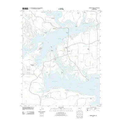 2011 Greers Ferry2011 Print · USGSCovers Van Buren County, including Fairfield Bay, Greers Ferry, and other nearby areas
 - 2011 Map of Jerusalem, 2011 Print
 2011 Jerusalem2011 Print · USGSCovers Van Buren County, including Gobblers Point, Jerusalem, and other nearby areas
 - 2011 Map of Oxley, 2011 Print
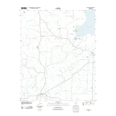
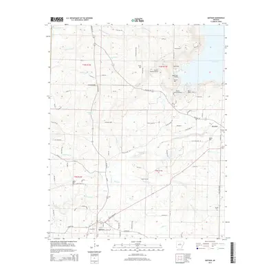
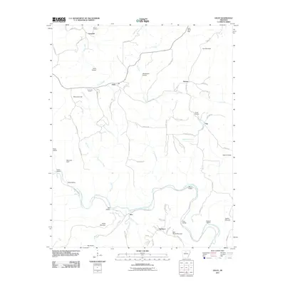 2011 Oxley2011 Print · USGSCovers Van Buren County, including Elba, Harness, and other nearby areas
 - 2011 Map of Leslie, 2011 Print
 2011 Leslie2011 Print · USGSCovers Van Buren County, including Leslie, Dennard, and other nearby areas
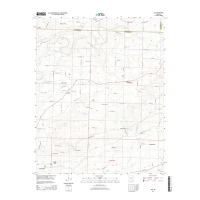
 - 2011 Map of Rex, 2011 Print
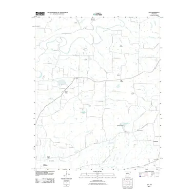
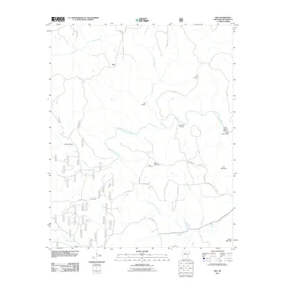 2011 Rex2011 Print · USGSCovers Van Buren County, including Rex, United States, and other nearby areas
 - 2011 Map of Tilly, 2011 Print
 2011 Tilly2011 Print · USGSCovers Van Buren County, including Zion Hill, Tilly, and other nearby areas
 - 2011 Map of Canaan, 2011 Print
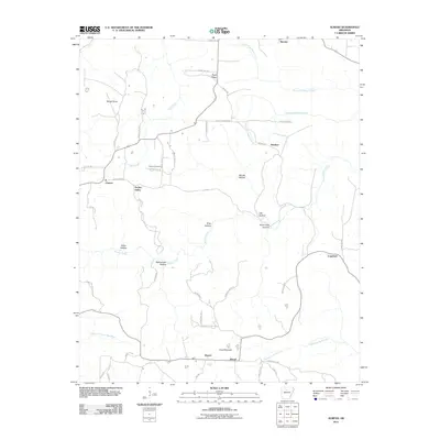
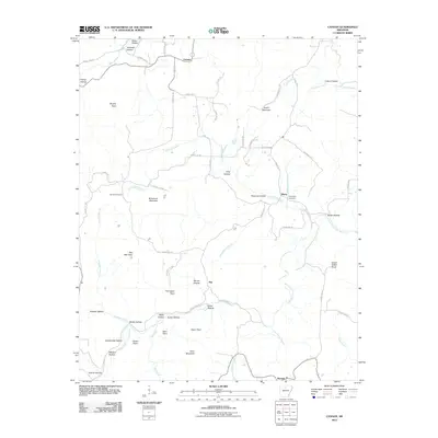 2011 Canaan2011 Print · USGSCovers Van Buren County, including Canaan, Kay, and other nearby areas
 - 2011 Map of Old Lexington, 2011 Print
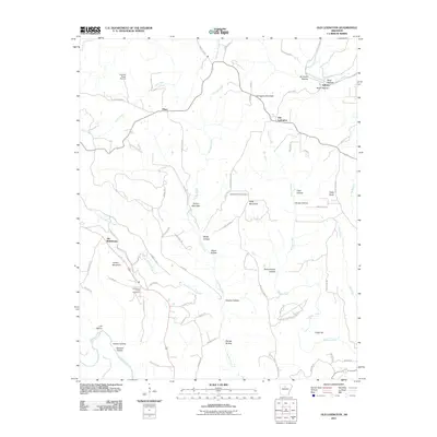 2011 Old Lexington2011 Print · USGSCovers Van Buren County, including Clinton, Plant, and other nearby areas
 - 2011 Map of Scotland, 2011 Print
 2011 Scotland2011 Print · USGSCovers Van Buren County, including Walnut Grove, Crabtree, and other nearby areas
 - 2011 Map of Botkinburg, 2011 Print
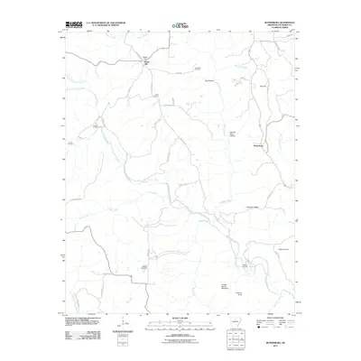 2011 Botkinburg2011 Print · USGSCovers Van Buren County, including Rocky Hill, Botkinburg, and other nearby areas
 - 2011 Map of Alread, 2011 Print
 2011 Alread2011 Print · USGSCovers Van Buren County, including Alread, Woolum, and other nearby areas
 - 2011 Map of Lost Corner, 2011 Print
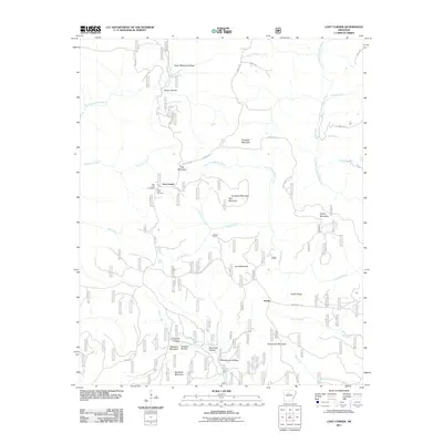 2011 Lost Corner2011 Print · USGSCovers Van Buren County, including Austin, Lost Corner, and other nearby areas
 - 2011 Map of Damascus, 2011 Print
 2011 Damascus2011 Print · USGSCovers Van Buren County, including Greenbrier, Twin Groves, and other nearby areas
 - 2011 Map of Parma, 2011 Print
 2011 Parma2011 Print · USGSCovers Van Buren County, including Fairfield Bay, Sunny Slope, and other nearby areas
 - 2014 Map of Quitman, 2014 Print
 2014 Quitman2014 Print · USGSCovers Van Buren County, including Quitman, Pearson, and other nearby areas
 - 2014 Map of Guy, 2014 Print
 2014 Guy2014 Print · USGSCovers Van Buren County, including Greenbrier, Guy, and other nearby areas
Showing maps 1-25 of 115
Top cities of Van Buren County
Frequently asked questions
- What are the different types of historical maps available for Van Buren County?
- What is the oldest map of Van Buren County?
- Where can I purchase historical maps of Van Buren County for my home or office?
- Where can I download high-res historical maps of Van Buren County?
- Are there historical topographic maps available for Van Buren County?
- Is there historical aerial imagery available for Van Buren County?
- Where are historical maps of Van Buren County sourced from?