2000s (21st Century) Maps of Washington County, Arkansas
Explore 115 historic maps of Washington County from the 2000s (21st Century). These maps offer a rare glimpse into what life looked like during the 2000s — showing old roads, neighborhoods, homes, and landmarks that have changed or disappeared over time.
Whether you're researching your family's past, planning a metal detecting trip, or studying how Washington County's landscape evolved across the 2000s, these high-resolution maps are a powerful tool for exploring the history of this region.
- Focus on a specific era: All maps on this page are from the 2000s, giving you a focused view of this time period.
- See what’s changed: Compare century-old streets, trails, and buildings to today's modern landscape using overlays and satellite layers.
- Research with precision: Use these maps for genealogy, historical research, land use analysis, or educational projects.
- View, download, or print: Maps are fully viewable online in high resolution, and can be downloaded or printed for your own records.
Start exploring Washington County's history through authentic maps from the 2000s. This is your window into the past.
Washington County, AR maps
(115)- 2011 Map of Sonora, 2011 Print
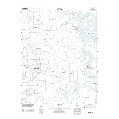 2011 Sonora2011 Print · USGSThe eastern edges of Springdale and the White River valley meet in this early 21st-century survey of Northwest Arkansas. Researchers can trace family history through several local burial grounds like Phillips and Davis Cemetery, or locate old landmarks like Mountain Home School.
 - 2011 Map of Wheeler, 2011 Print
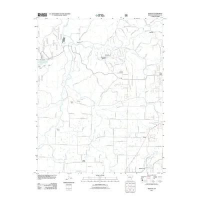 2011 Wheeler2011 Print · USGSNorthwest Arkansas is captured here in the early twenty-first century, showing the transition between rural farmland and suburban growth. Genealogists and local historians can locate Bell Cemetery, Rose Cemetery, and the historic settlement at Viney Grove.
 - 2011 Map of Gallatin, 2011 Print
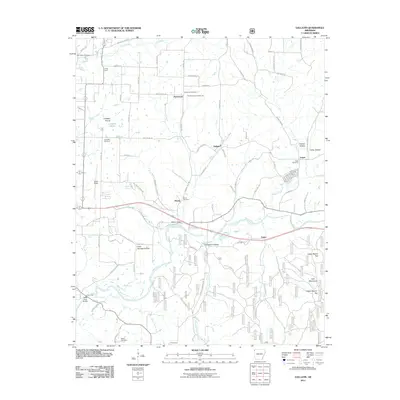 2011 Gallatin2011 Print · USGSBenton County’s rural landscape is preserved here during the early twenty-first century, showing the transition from open prairie to river valleys. Researchers can locate many ancestral sites, from Fairmount Community Hall to the Fisher Ford Bridge and Logan Cemetery.
 - 2011 Map of Springdale, 2011 Print
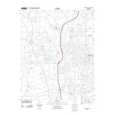 2011 Springdale2011 Print · USGSNorthwest Arkansas experiences rapid growth in this early 21st-century record of the Springfield Plateau. Researchers can trace family history through numerous local burial sites like Goad Springs Cemetery and Spring Creek Cemetery, or locate landmarks such as the Springdale Post Office.
 - 2011 Map of Watts, 2011 Print
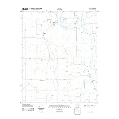 2011 Watts2011 Print · USGSThe Oklahoma-Arkansas borderlands come into focus here as they appeared in the early 2000s, centered on the river-cut landscape between Watts and Cincinnati. You can trace old river crossings and family burial grounds like Goforth Ford, Sixkiller Cemetery, and Spring Harbor Landing.
 - 2011 Map of Elkins, 2011 Print
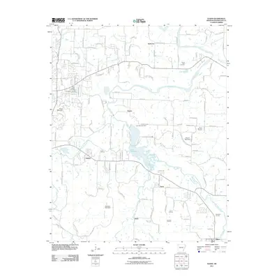 2011 Elkins2011 Print · USGSThe river valleys of Washington County come alive in this modern survey, showing the landscape just before the recent growth of the Ozarks. Trace family history across several rural burial grounds like Hester Cemetery and Oxford Bend Cemetery near the shores of Lake Sequoyah.
 - 2011 Map of Rhea, 2011 Print
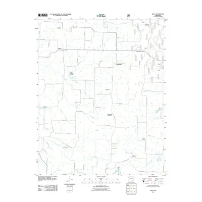 2011 Rhea2011 Print · USGSWashington County at the start of the 2010s shows a landscape of upland prairies and mountain gaps. Genealogists can trace family footprints through sites like Beatty Cemetery and Norwood Cemetery or explore the settlements of Weddington and Trident.
 - 2011 Map of Robinson, 2011 Print
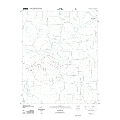 2011 Robinson2011 Print · USGSNorthwest Arkansas at the turn of the decade shows a landscape of growing rural communities and branching waterways. Researchers can trace family roots at Yell Cemetery or explore the early 2000s layout of Robinson, Harmon, and Rocky Comfort.
 - 2011 Map of Fayetteville, 2011 Print
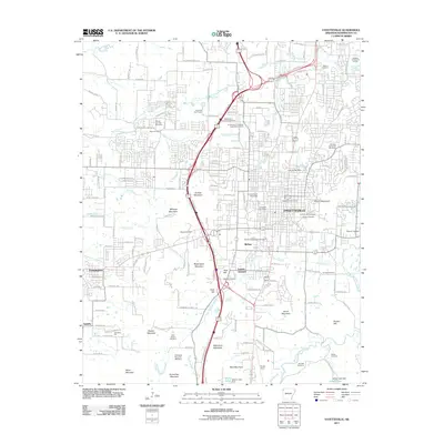 2011 Fayetteville2011 Print · USGSFayetteville is shown here during a decade of rapid growth, centered on the University of Arkansas campus. Genealogists and researchers can trace local heritage through numerous sites like the Fayetteville National Cemetery, Evergreen Cemetery, and Drake Field.
 - 2011 Map of Prairie Grove, 2011 Print
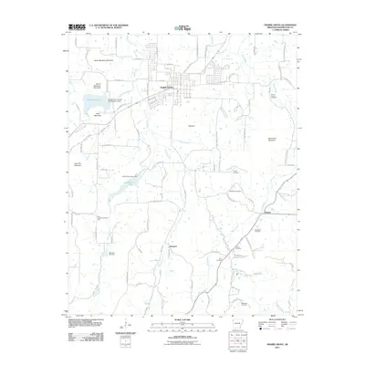 2011 Prairie Grove2011 Print · USGSPrairie Grove and the surrounding Washington County countryside are documented here in the early twenty-first century. Genealogists can trace family footprints through numerous rural landmarks like Illinois Chapel Cemetery, Hubbard, and New Hope Community Hall.
 - 2011 Map of Stilwell East, 2011 Print
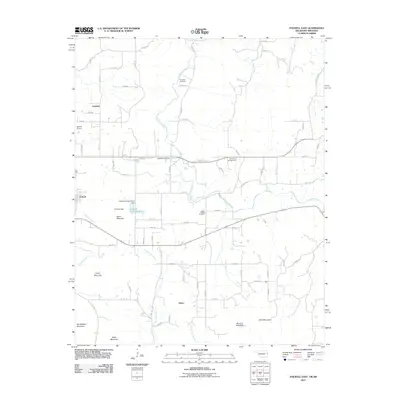 2011 Stilwell East2011 Print · USGSThe foothills of the Ozarks come alive in this early 2000s study of the Oklahoma-Arkansas borderlands. Genealogists and local historians can trace family sites at Fourkiller Cemetery or explore the geography of Muskrat Mountain and Salem.
 - 2011 Map of Goshen, 2011 Print
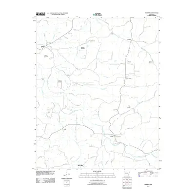 2011 Goshen2011 Print · USGSWashington County at the start of the 2010s reveals a landscape of high ridges and winding creek valleys. Genealogists can locate several rural burial sites like Boatrigth Cemetery and Smith Cemetery or trace the area around the Wesley Post Office.
 - 2011 Map of Winslow, 2011 Print
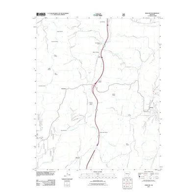 2011 Winslow2011 Print · USGSThe hill country of Washington County comes into focus in the early twenty-first century, showing the enduring paths of the rail and river. Genealogists and local historians can trace family burial sites at Kelton Cemetery or Collier Cemetery and locate rural hubs like Blackburn.
 - 2011 Map of Sulphur City, 2011 Print
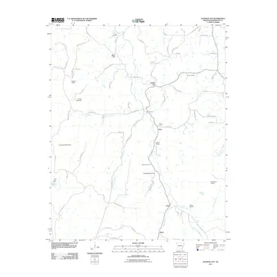 2011 Sulphur City2011 Print · USGSWashington County at the turn of the decade shows a landscape of upland ridges and creek-fed hollows. Genealogists and local historians can trace family locations near Sulphur City, identifying several old burial sites like Reese Cemetery and Richardson Cemetery.
 - 2011 Map of West Fork, 2011 Print
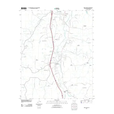 2011 West Fork2011 Print · USGSWashington County, Arkansas, reveals its deep-rooted Ozark heritage in this 2010s survey of the river valleys and mountain ridges south of Fayetteville. Genealogists and historians can trace numerous family and community sites like West Fork Cemetery, Campbell Church, and the distinctive Old Male Coal Bank.
 - 2011 Map of Spring Valley, 2011 Print
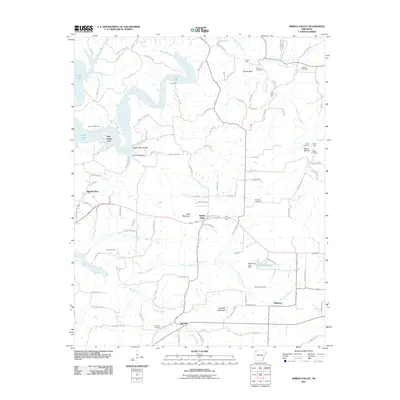 2011 Spring Valley2011 Print · USGSThe rural highlands of Washington County are captured here just after the first decade of the new millennium. Researchers can trace family history through numerous landmarks including Spring Valley, Johnson Cemetery, and the river crossings at Cook Ford.
 - 2011 Map of Strickler, 2011 Print
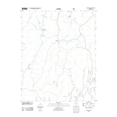 2011 Strickler2011 Print · USGSWashington County at the start of the 2010s reveals a landscape of isolated settlements and high ridges shaped by the Illinois River. Genealogists can trace family roots through several local burial grounds, including the Morrow Cemetery, Dunkard Cemetery, and Baker Cemetery.
 - 2011 Map of Westville, 2011 Print
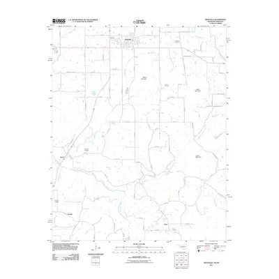 2011 Westville2011 Print · USGSIn the hills of eastern Oklahoma during the early twenty-first century, rural life follows the winding paths of the Baron Fork. Researchers can trace old family lineages through local landmarks like Foreman Cemetery, Alberty Mountain, and the settlement of Peavine.
 - 2011 Map of Evansville, 2011 Print
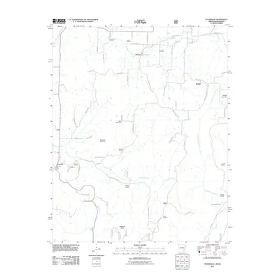 2011 Evansville2011 Print · USGSSettled along the Arkansas-Oklahoma border in the early twenty-first century, this area shows a landscape of ridges and deep hollows. Genealogists can trace family footprints across several rural burial grounds like Academy Cemetery, Cox Cemetery, and Dunagan Cemetery.
 - 2011 Map of Delaney, 2011 Print
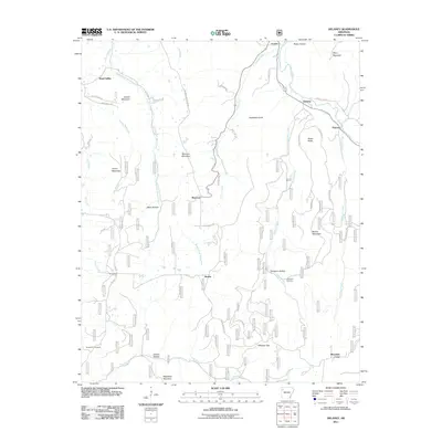 2011 Delaney2011 Print · USGSMadison County's highland river valleys are captured here in the early twenty-first century as they appeared before recent development. Researchers can trace family history through local landmarks like Temple Hill Cemetery and the settlements of Hazel Valley and Patrick.
 - 2011 Map of Durham, 2011 Print
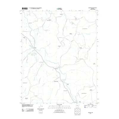 2011 Durham2011 Print · USGSMadison County's river valleys and high Ozark peaks are captured here in the early twenty-first century as the White River winds past rural communities. Genealogists can locate family landmarks like Shumate Cemetery, Chicken Bristle Mountain, and Greens Hollow.
 - 2011 Map of Brentwood, 2011 Print
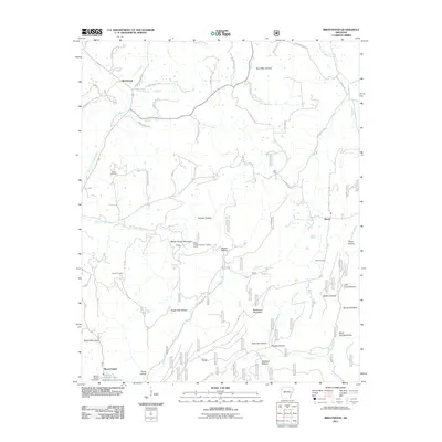 2011 Brentwood2011 Print · USGSUpper White River country and the Ozark highlands are captured here in the early twenty-first century. Researchers can locate family landmarks like Parks Cemetery and Skelton Hollow, or trace the old roads connecting Brentwood and Mount Gaylor.
 - 2011 Map of Lincoln, 2011 Print
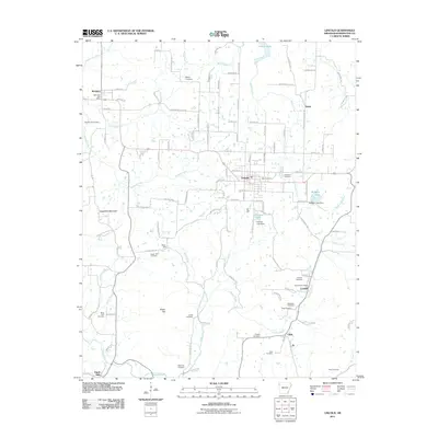 2011 Lincoln2011 Print · USGSNorthwest Arkansas settlements and cemeteries are documented here in the early twenty-first century as the landscape maintains its rural character. Genealogists can trace family sites at White Rock and Drake Cemetery, or locate the historic Summers Post Office.
 - 2012 Map of Stilwell East, 2012 Print
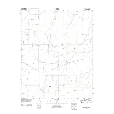 2012 Stilwell East2012 Print · USGSThe Oklahoma-Arkansas borderlands are captured here in the early twenty-first century, showing a landscape of scattered rural settlements and significant mountain peaks. Family historians can locate ancestral sites at Fourkiller Cem, Ewing Chapel Cem, and the communities of Fairfield and Salem.
 - 2012 Map of Westville, 2012 Print
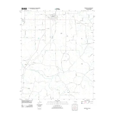 2012 Westville2012 Print · USGSThe Oklahoma-Arkansas border country comes into focus in this early twenty-first-century survey centered on the town of Westville. Researchers can trace local lineage across the landscape at Foreman Cem, Ganderville Cem, and Piney Cem, or follow the waters of the Baron Fork.
Showing maps 1-25 of 115
Top cities of Washington County
- Fayetteville historical maps
- Farmington historical maps
- Prairie Grove historical maps
- Johnson historical maps
- Elm Springs historical maps
- West Fork historical maps
See more
Frequently asked questions
- What are the different types of historical maps available for Washington County?
- What is the oldest map of Washington County?
- Where can I purchase historical maps of Washington County for my home or office?
- Where can I download high-res historical maps of Washington County?
- Are there historical topographic maps available for Washington County?
- Is there historical aerial imagery available for Washington County?
- Where are historical maps of Washington County sourced from?