2000s (21st Century) Maps of Fayetteville, Arkansas
Explore 35 historic maps of Fayetteville from the 2000s (21st Century). These maps offer a rare glimpse into what life looked like during the 2000s — showing old roads, neighborhoods, homes, and landmarks that have changed or disappeared over time.
Whether you're researching your family's past, planning a metal detecting trip, or studying how Fayetteville's landscape evolved across the 2000s, these high-resolution maps are a powerful tool for exploring the history of this region.
- Focus on a specific era: All maps on this page are from the 2000s, giving you a focused view of this time period.
- See what’s changed: Compare century-old streets, trails, and buildings to today's modern landscape using overlays and satellite layers.
- Research with precision: Use these maps for genealogy, historical research, land use analysis, or educational projects.
- View, download, or print: Maps are fully viewable online in high resolution, and can be downloaded or printed for your own records.
Start exploring Fayetteville's history through authentic maps from the 2000s. This is your window into the past.
Fayetteville, AR maps
(35)- 2011 Map of Sonora, 2011 Print
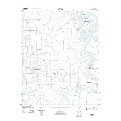 2011 Sonora2011 Print · USGSThe eastern edges of Springdale and the White River valley meet in this early 21st-century survey of Northwest Arkansas. Researchers can trace family history through several local burial grounds like Phillips and Davis Cemetery, or locate old landmarks like Mountain Home School.
 - 2011 Map of Wheeler, 2011 Print
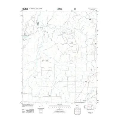 2011 Wheeler2011 Print · USGSNorthwest Arkansas is captured here in the early twenty-first century, showing the transition between rural farmland and suburban growth. Genealogists and local historians can locate Bell Cemetery, Rose Cemetery, and the historic settlement at Viney Grove.
 - 2011 Map of Springdale, 2011 Print
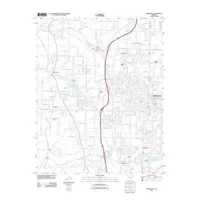 2011 Springdale2011 Print · USGSNorthwest Arkansas experiences rapid growth in this early 21st-century record of the Springfield Plateau. Researchers can trace family history through numerous local burial sites like Goad Springs Cemetery and Spring Creek Cemetery, or locate landmarks such as the Springdale Post Office.
 - 2011 Map of Elkins, 2011 Print
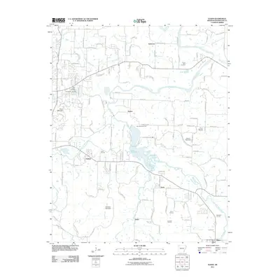 2011 Elkins2011 Print · USGSThe river valleys of Washington County come alive in this modern survey, showing the landscape just before the recent growth of the Ozarks. Trace family history across several rural burial grounds like Hester Cemetery and Oxford Bend Cemetery near the shores of Lake Sequoyah.
 - 2011 Map of Fayetteville, 2011 Print
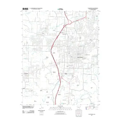 2011 Fayetteville2011 Print · USGSFayetteville is shown here during a decade of rapid growth, centered on the University of Arkansas campus. Genealogists and researchers can trace local heritage through numerous sites like the Fayetteville National Cemetery, Evergreen Cemetery, and Drake Field.
 - 2011 Map of Sulphur City, 2011 Print
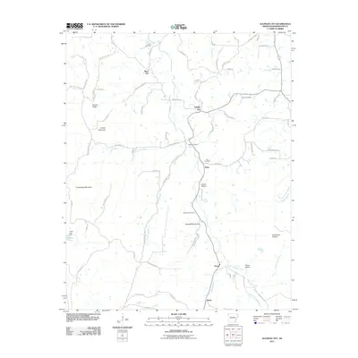 2011 Sulphur City2011 Print · USGSWashington County at the turn of the decade shows a landscape of upland ridges and creek-fed hollows. Genealogists and local historians can trace family locations near Sulphur City, identifying several old burial sites like Reese Cemetery and Richardson Cemetery.
 - 2011 Map of West Fork, 2011 Print
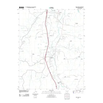 2011 West Fork2011 Print · USGSWashington County, Arkansas, reveals its deep-rooted Ozark heritage in this 2010s survey of the river valleys and mountain ridges south of Fayetteville. Genealogists and historians can trace numerous family and community sites like West Fork Cemetery, Campbell Church, and the distinctive Old Male Coal Bank.
 - 2014 Map of Wheeler, 2014 Print
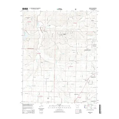 2014 Wheeler2014 Print · USGSThe rural stretches west of Fayetteville are captured here in the early 21st century, showing the enduring boundaries of the Ozark National Forest. Researchers can locate old community markers like Bell Cem and the small settlements of Savoy and Viney Grove.
 - 2014 Map of Springdale, 2014 Print
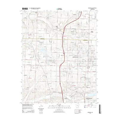 2014 Springdale2014 Print · USGSNorthwest Arkansas was undergoing significant suburban growth during this era, bridging the gap between Springdale and Fayetteville. Genealogists and local historians can trace family plots at Silent Grove Cem and Shady Grove Cem or locate the site of Ecclesia College.
 - 2014 Map of Elkins, 2014 Print
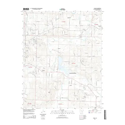 2014 Elkins2014 Print · USGSFayetteville and the Ozark foothills come alive in this map of the river-carved landscape east of the city. Researchers can trace ancestral roots through numerous local burial sites like Boone Cem, Oxford Bend Cem, and Stokenbury Cem near Elkins.
 - 2014 Map of West Fork, 2014 Print
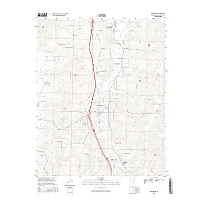 2014 West Fork2014 Print · USGSWashington County hillsides and the West Fork White River valley are shown in detail during the early 2010s. Local researchers can locate several family and community burial grounds like Boone Cem and W Fork Cem, or trace the rural roads connecting Greenland and Woolsey.
 - 2014 Map of Sonora, 2014 Print
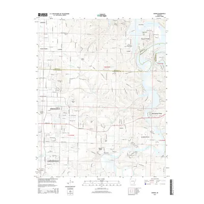 2014 Sonora2014 Print · USGSThe growing corridor between Fayetteville and Springdale is captured here during a period of significant suburban development. Researchers can locate numerous family burial sites like Phillips Cem and Head Cem or explore the shores of Beaver Lake.
 - 2014 Map of Sulphur City, 2014 Print
 2014 Sulphur City2014 Print · USGSSoutheast of Fayetteville in the mid-2010s, this area shows a landscape of deep hollows and high ridges centered on Sulphur City. Researchers can trace old family burial grounds like Zion Cem and Richardson Cem along the Middle Fork White River.
 - 2014 Map of Fayetteville, 2014 Print
 2014 Fayetteville2014 Print · USGSFayetteville and the Arkansas Ozark foothills are captured here in the early twenty-first century as the city expanded around the University of Arkansas. Researchers can locate numerous historic burial sites like Evergreen Cem and Tharp Cem, or trace the rail corridor through Fayette Junction.
 - 2017 Map of Elkins, 2017 Print
 2017 Elkins2017 Print · USGSEastern Washington County appears in the late 2010s as a landscape shaped by the forks of the White River. Researchers can trace old family sites and burial grounds like Stokenbury Cem, Hester Cem, and Saint Joseph Cem near Lake Sequoyah.
 - 2017 Map of Springdale, 2017 Print
 2017 Springdale2017 Print · USGSThe growing Northwest Arkansas corridor is captured here during a decade of rapid expansion between Fayetteville and Lowell. Researchers can trace numerous local burial sites and recreation trails, including Saint Joseph Cem, Bluff Cem, and the Razorback Regional Greenway.
 - 2017 Map of Sonora, 2017 Print
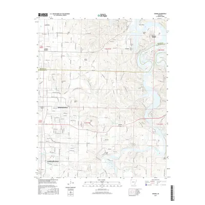 2017 Sonora2017 Print · USGSNorthwest Arkansas is caught at a moment of significant expansion as the suburban growth of Fayetteville and Springdale reaches toward the White River. Family history researchers can locate several rural burial sites, including Wilson Cem and Head Cem, alongside landmarks like Fitzgerald Mtn.
 - 2017 Map of Wheeler, 2017 Print
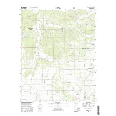 2017 Wheeler2017 Print · USGSNorthwest Arkansas in the mid-2010s shows a landscape of rapid suburban growth pressing against the Ozark National Forest. Researchers can trace old family burial grounds like Bell Cem and Rose Cem near the banks of the Illinois River.
 - 2017 Map of Fayetteville, 2017 Print
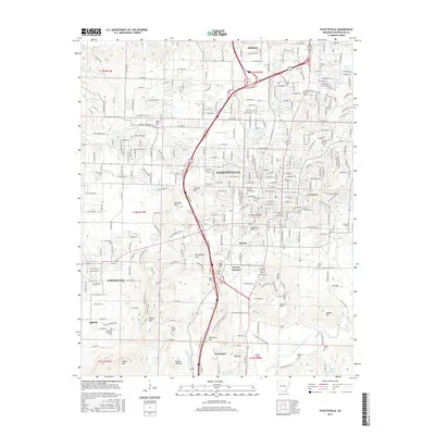 2017 Fayetteville2017 Print · USGSFayetteville and its neighboring Ozark foothills are captured here during a period of significant growth and academic expansion. Genealogists and historians can locate numerous burial grounds, such as the Fayetteville National Cem and Rieffs Chapel Cem, or trace the rail-and-river geography near Fayette Junction.
 - 2017 Map of West Fork, 2017 Print
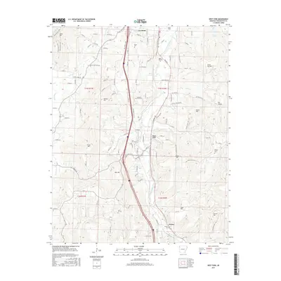 2017 West Fork2017 Print · USGSIn the Ozark highlands south of Fayetteville, this late-2010s survey shows the winding valley of the West Fork White River. Genealogists can locate numerous burial sites such as Baptist Ford Cem, Woolsey Cem, and the remote Mineral Springs Cem.
 - 2017 Map of Sulphur City, 2017 Print
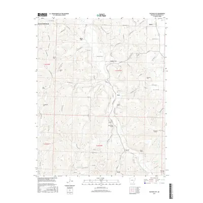 2017 Sulphur City2017 Print · USGSThe Ozark highlands south of Elkins are seen here in the late twenty-tens, where rural crossroads and family cemeteries define the valley floor. Genealogists and local historians can trace legacy sites like Kings Cem, Richardson Cem, and the small community of Sulphur City.
 - 2020 Map of Elkins, 2020 Print
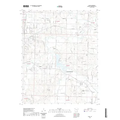 2020 Elkins2020 Print · USGSThe eastern fringes of Fayetteville and the river-bottom lands of Washington County are shown here in the contemporary era. Genealogists and local historians can trace family locations through numerous sites like Stokenbury Cem, Hester Cem, and the community of Elkins.
 - 2020 Map of Wheeler, 2020 Print
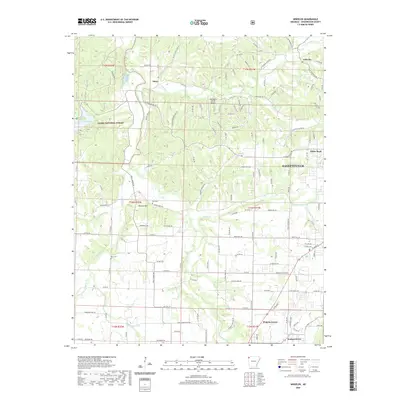 2020 Wheeler2020 Print · USGSWashington County at the start of the 2020s shows a landscape where the Illinois River valley meets the growing outskirts of Fayetteville. Researchers can trace rural lineages through the Bell and Rose cemeteries or locate the small settlements of Savoy and Wheeler.
 - 2020 Map of Springdale, 2020 Print
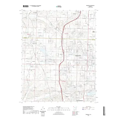 2020 Springdale2020 Print · USGSNorthwest Arkansas in the twenty-first century exhibits a dense network of suburban growth and historical landmarks. Trace the evolution of Springdale and Tontitown alongside sites like Ecclesia College and Lake Elmdale.
 - 2020 Map of Sonora, 2020 Print
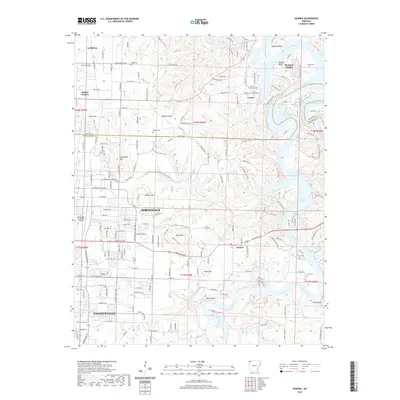 2020 Sonora2020 Print · USGSNorthwest Arkansas during its recent period of rapid growth is captured here, showing the corridor between Fayetteville and Springdale. Researchers can trace rural lineages through family burial sites like Wilson Cem or locate old industrial landmarks such as Mill Hollow near the White River.
Showing maps 1-25 of 35
Top cities near Fayetteville
- Springdale historical maps
- Rogers historical maps
- Bentonville historical maps
- Lowell historical maps
- Farmington historical maps
- Prairie Grove historical maps
See more
Top neighborhoods of Fayetteville
- Baldwin historical maps
- Fayette Junction historical maps
- White Rock historical maps
- Quarry Trace historical maps
- Candlewood historical maps
- Glenbrook Place historical maps
See more
Frequently asked questions
- What are the different types of historical maps available for Fayetteville?
- What is the oldest map of Fayetteville?
- Where can I purchase historical maps of Fayetteville for my home or office?
- Where can I download high-res historical maps of Fayetteville?
- Are there historical topographic maps available for Fayetteville?
- Is there historical aerial imagery available for Fayetteville?
- Where are historical maps of Fayetteville sourced from?