2000s (21st Century) Maps of Johnson, Arkansas
Explore 10 historic maps of Johnson from the 2000s (21st Century). These maps offer a rare glimpse into what life looked like during the 2000s — showing old roads, neighborhoods, homes, and landmarks that have changed or disappeared over time.
Whether you're researching your family's past, planning a metal detecting trip, or studying how Johnson's landscape evolved across the 2000s, these high-resolution maps are a powerful tool for exploring the history of this region.
- Focus on a specific era: All maps on this page are from the 2000s, giving you a focused view of this time period.
- See what’s changed: Compare century-old streets, trails, and buildings to today's modern landscape using overlays and satellite layers.
- Research with precision: Use these maps for genealogy, historical research, land use analysis, or educational projects.
- View, download, or print: Maps are fully viewable online in high resolution, and can be downloaded or printed for your own records.
Start exploring Johnson's history through authentic maps from the 2000s. This is your window into the past.
Johnson, AR maps
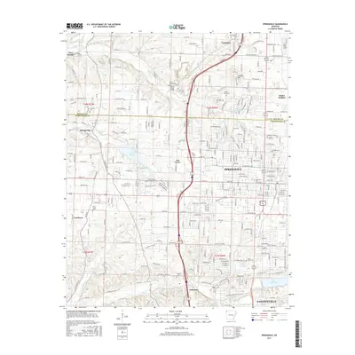
(10)- 2011 Map of Springdale, 2011 Print
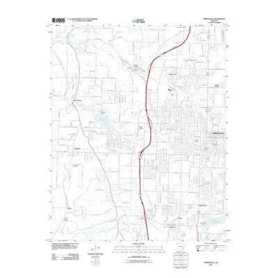 2011 Springdale2011 Print · USGSCovers Johnson, including Fayetteville, Springdale, and other nearby areas
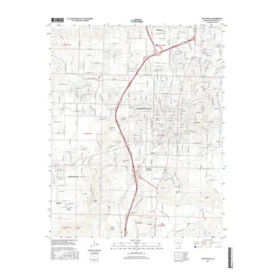
 - 2011 Map of Fayetteville, 2011 Print
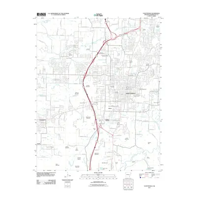 2011 Fayetteville2011 Print · USGSCovers Johnson, including Fayetteville, Farmington, and other nearby areas
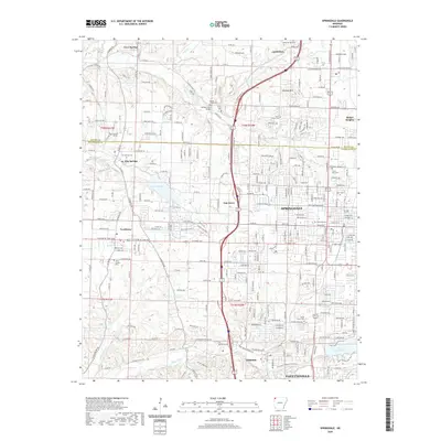
 - 2014 Map of Springdale, 2014 Print
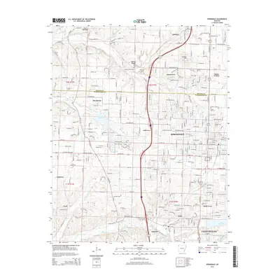 2014 Springdale2014 Print · USGSCovers Johnson, including Fayetteville, Springdale, and other nearby areas
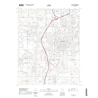
 - 2014 Map of Fayetteville, 2014 Print
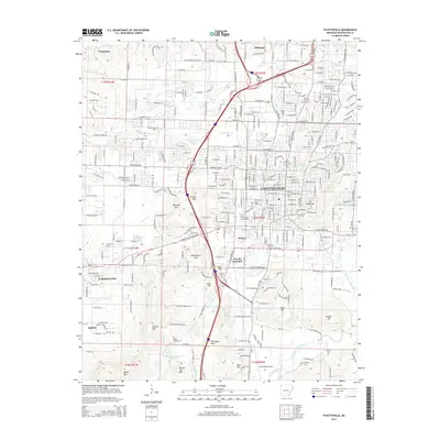 2014 Fayetteville2014 Print · USGSCovers Johnson, including Fayetteville, Farmington, and other nearby areas
 - 2017 Map of Springdale, 2017 Print
 2017 Springdale2017 Print · USGSCovers Johnson, including Fayetteville, Springdale, and other nearby areas
 - 2017 Map of Fayetteville, 2017 Print
 2017 Fayetteville2017 Print · USGSCovers Johnson, including Fayetteville, Farmington, and other nearby areas
 - 2020 Map of Springdale, 2020 Print
 2020 Springdale2020 Print · USGSCovers Johnson, including Fayetteville, Springdale, and other nearby areas
 - 2020 Map of Fayetteville, 2020 Print
 2020 Fayetteville2020 Print · USGSCovers Johnson, including Fayetteville, Farmington, and other nearby areas
 - 2024 Map of Fayetteville, 2024 Print
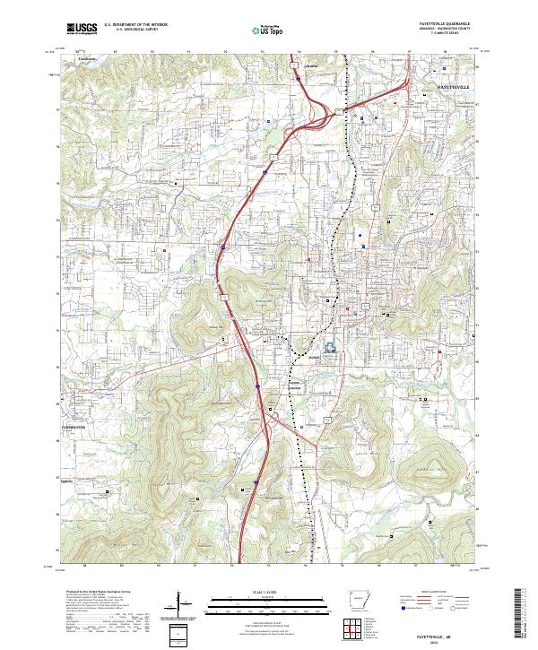 2024 Fayetteville2024 Print · USGSFayetteville and its neighboring foothills are captured here in a moment of modern growth that respects its deep civic roots. Genealogists can trace family names at the Fayetteville National Cem, James Leeper Gravesite, and Evergreen Cem.
 - 2024 Map of Springdale, 2024 Print
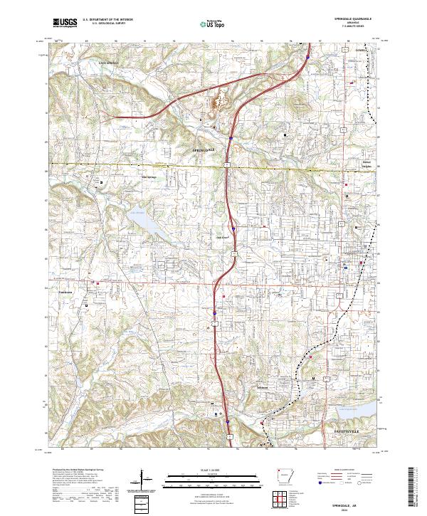 2024 Springdale2024 Print · USGSNorthwest Arkansas is captured here during a period of significant regional growth along the Interstate 49 corridor. Researchers can trace the layout of growing communities and find local landmarks such as Ecclesia College, Goad Springs Cem, and Lake Elmdale.
End of results
Showing maps 1-10 of 10
Top cities near Johnson
- Fayetteville historical maps
- Springdale historical maps
- Rogers historical maps
- Bentonville historical maps
- Centerton historical maps
- Lowell historical maps
See more
Top neighborhoods of Johnson
Frequently asked questions
- What are the different types of historical maps available for Johnson?
- What is the oldest map of Johnson?
- Where can I purchase historical maps of Johnson for my home or office?
- Where can I download high-res historical maps of Johnson?
- Are there historical topographic maps available for Johnson?
- Is there historical aerial imagery available for Johnson?
- Where are historical maps of Johnson sourced from?