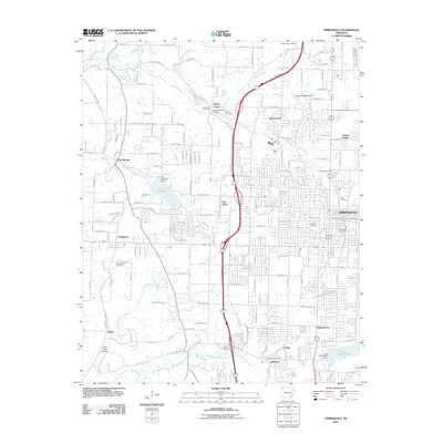
2011 Map of Springdale
USGS Topo · Published 2011About this map
Springdale sits at the heart of this Northwest Arkansas landscape, showing a dense network of suburban expansion and local commerce during the early 21st century. The map traces the growth patterns of several surrounding communities, including Tontitown, Elm Springs, and Johnson, all linked by an increasingly complex grid of arterial roads like Har Ber Ave and County Line Rd. The terrain is defined by the Ozark foothills, rising toward Callahan Mountain in the northeast and drained by a system of creeks including Spring Creek and Little Wildcat Creek.
Find a feature on this map
86 named features on this map. Tap any name to fly to it.
Don’t see what you’re looking for? This feature index may not catch every label — zoom into the map to look around manually.
Map Details
Editions of this 2011 Springdale Map
This is the sole edition of this map. No revisions or reprints were ever made.
Other maps of this area

1899 · Fayetteville
USGS Topo · 1:125,000

1901 · Fayetteville
USGS Topo · 1:125,000

1904 · Fayetteville
USGS Topo · 1:125,000

1954 · Tulsa
USGS Topo · 1:250,000

1958 · Sonora
USGS Topo · 1:24,000

1958 · Rogers
USGS Topo · 1:24,000

1958 · Fayetteville
USGS Topo · 1:24,000

1958 · Elkins
USGS Topo · 1:24,000

1958 · Tulsa
USGS Topo · 1:250,000

1963 · Tulsa
USGS Topo · 1:250,000