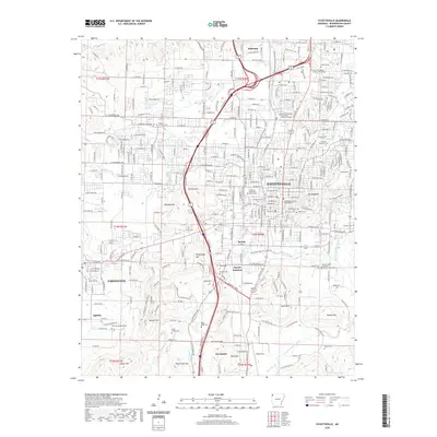
2020 Map of Fayetteville
USGS Topo · Published 2020About this map
Fayetteville serves as the focal point of this Northwest Arkansas landscape, anchored by the University of Arkansas Main Campus and the Washington County Courthouse. The urban center is surrounded by a ring of significant heights, including Mt Sequoyah to the east and the rugged peaks of Kessler Mtn and McCullom Mtn to the south. This modern survey illustrates the contemporary trail and greenway system, such as the Razorback Regional Greenway and Mud Creek Trail, which now weave through established neighborhoods and former industrial hubs like Fayette Junction.
Find a feature on this map
64 named features on this map. Tap any name to fly to it.
Don’t see what you’re looking for? This feature index may not catch every label — zoom into the map to look around manually.
Map Details
Editions of this 2020 Fayetteville Map
This is the sole edition of this map. No revisions or reprints were ever made.
Other maps of this area

1898 · Winslow
USGS Topo · 1:125,000

1899 · Fayetteville
USGS Topo · 1:125,000

1901 · Winslow
USGS Topo · 1:125,000

1901 · Fayetteville
USGS Topo · 1:125,000

1904 · Fayetteville
USGS Topo · 1:125,000

1946 · Fort Smith
USGS Topo · 1:250,000

1954 · Tulsa
USGS Topo · 1:250,000

1958 · Sonora
USGS Topo · 1:24,000

1958 · Fayetteville
USGS Topo · 1:24,000

1958 · Elkins
USGS Topo · 1:24,000