Old Maps of White County, Arkansas
Explore 61 old maps of White County, spanning from 1890 to today. These high-resolution historic maps reveal how streets, neighborhoods, landmarks, and natural features evolved over time — perfect for genealogy, metal detecting, research, and local history exploration.
What you can do with these maps:
- See how White County changed over time: Compare historical maps to modern-day views to trace roads, homesites, rail lines & more.
- View detailed metadata: Each map includes creators, publishers, year, scale, and archive source.
- Overlay maps with satellite & LiDAR: Visualize the past alongside modern tools to explore terrain & human change.
- Trusted historical sources: Maps sourced from the USGS, Library of Congress, and other archives.
- Access maps your way: View online, download high-res files, or order prints for personal or research use.
Start exploring old maps of White County to uncover forgotten places, hidden landmarks, and the deep history beneath your feet.
White County, AR maps
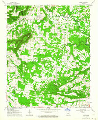
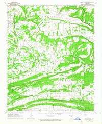
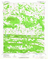
(61)- 1890 Map of Batesville
 1890 Batesville1890 Print · USGSCovers White County, including Batesville, Heber Springs, and other nearby areas
 - 1891 Map of Batesville
 1891 Batesville1891 Print · USGSCovers White County, including Batesville, Heber Springs, and other nearby areas6 unique versions available
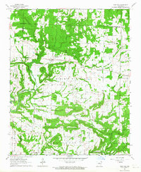
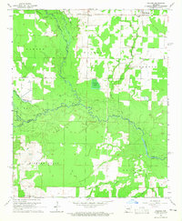
 - 1932 Map of Kensett
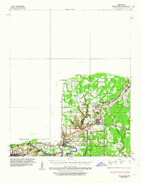
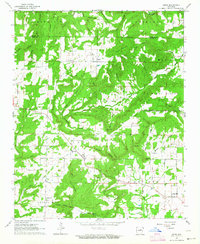
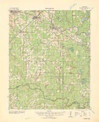 1932 Kensett1932 Print · USGSCovers White County, including Searcy, Kensett, and other nearby areas
 - 1935 Map of Kensett
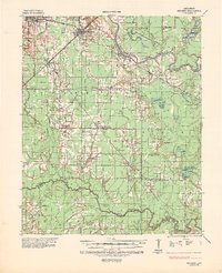 1935 Kensett1935 Print · USGSCovers White County, including Searcy, Kensett, and other nearby areas3 unique versions available
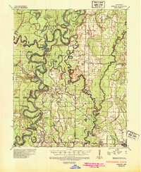
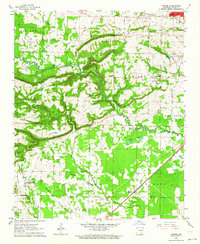
 - 1935 Map of Augusta, 1938 Print
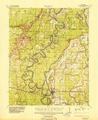 1935 Augusta1938 Print · USGSCovers White County, including Augusta, Bradford, and other nearby areas2 unique versions available
 - 1935 Map of Gregory, 1946 Print
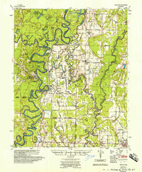
 1935 Gregory1946 Print · USGSCovers White County, including Cotton Plant, Georgetown, and other nearby areas
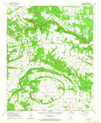
 - 1935 Map of Bald Knob, 1963 Print
 1935 Bald Knob1963 Print · USGSCovers White County, including Searcy, Bald Knob, and other nearby areas
 - 1953 Map of Memphis, 1966 Print
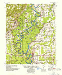
 1953 Memphis1966 Print · USGSCovers White County, including Memphis, Jonesboro, and other nearby areas3 unique versions available
 - 1956 Map of Memphis
 1956 Memphis1956 Print · USGSCovers White County, including Memphis, Jonesboro, and other nearby areas
 - 1956 Map of Russellville
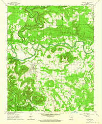
 1956 Russellville1956 Print · USGSCovers White County, including Conway, Russellville, and other nearby areas2 unique versions available
 - 1957 Map of Augusta
 1957 Augusta1957 Print · USGSCovers White County, including Augusta, Bradford, and other nearby areas
 - 1957 Map of Gregory
 1957 Gregory1957 Print · USGSCovers White County, including Cotton Plant, Georgetown, and other nearby areas
 - 1962 Map of Pangburn, 1964 Print
 1962 Pangburn1964 Print · USGSCovers White County, including Pangburn, Clay, and other nearby areas3 unique versions available
 - 1962 Map of Letona, 1964 Print
 1962 Letona1964 Print · USGSCovers White County, including Searcy, Letona, and other nearby areas3 unique versions available
 - 1963 Map of Rose Bud, 1964 Print
 1963 Rose Bud1964 Print · USGSCovers White County, including Rose Bud, Hart, and other nearby areas2 unique versions available
 - 1963 Map of Garner, 1964 Print
 1963 Garner1964 Print · USGSCovers White County, including Searcy, Garner, and other nearby areas3 unique versions available
 - 1963 Map of Floyd, 1964 Print
 1963 Floyd1964 Print · USGSCovers White County, including Antioch, Harmony, and other nearby areas3 unique versions available
 - 1963 Map of Mount Vernon, 1964 Print
 1963 Mount Vernon1964 Print · USGSCovers White County, including Mount Vernon, Hammondsville, and other nearby areas3 unique versions available
 - 1963 Map of Sidon, 1964 Print
 1963 Sidon1964 Print · USGSCovers White County, including Joy, Sidon, and other nearby areas2 unique versions available
 - 1963 Map of Beebe, 1964 Print
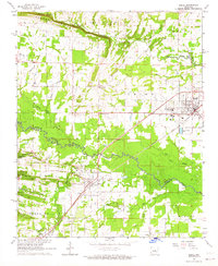 1963 Beebe1964 Print · USGSCovers White County, including Beebe, Ward, and other nearby areas3 unique versions available
 - 1963 Map of Mc Rae, 1964 Print
 1963 Mc Rae1964 Print · USGSCovers White County, including Beebe, McRae, and other nearby areas3 unique versions available
 - 1963 Map of Mountain Springs, 1964 Print
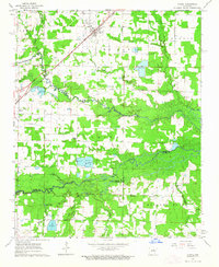
 1963 Mountain Springs1964 Print · USGSCovers White County, including Cabot, Austin, and other nearby areas3 unique versions available
 - 1964 Map of Russellville
 1964 Russellville1964 Print · USGSCovers White County, including Conway, Russellville, and other nearby areas
 - 1964 Map of Walker, 1965 Print
 1964 Walker1965 Print · USGSCovers White County, including Griffithville, Dogwood, and other nearby areas2 unique versions available
 - 1964 Map of Kensett, 1965 Print
 1964 Kensett1965 Print · USGSCovers White County, including Searcy, Kensett, and other nearby areas3 unique versions available
Showing maps 1-25 of 61
Top cities of White County
- Searcy historical maps
- Beebe historical maps
- Bald Knob historical maps
- Judsonia historical maps
- Kensett historical maps
- Bradford historical maps
See more
Frequently asked questions
- What are the different types of historical maps available for White County?
- What is the oldest map of White County?
- Where can I purchase historical maps of White County for my home or office?
- Where can I download high-res historical maps of White County?
- Are there historical topographic maps available for White County?
- Is there historical aerial imagery available for White County?
- Where are historical maps of White County sourced from?