2020s Maps of Woodruff County, Arkansas
Explore 34 historic maps of Woodruff County from the 2020s. These maps offer a rare glimpse into what life looked like during the 2020s — showing old roads, neighborhoods, homes, and landmarks that have changed or disappeared over time.
Whether you're researching your family's past, planning a metal detecting trip, or studying how Woodruff County's landscape evolved across the 2020s, these high-resolution maps are a powerful tool for exploring the history of this region.
- Focus on a specific era: All maps on this page are from the 2020s, giving you a focused view of this time period.
- See what’s changed: Compare century-old streets, trails, and buildings to today's modern landscape using overlays and satellite layers.
- Research with precision: Use these maps for genealogy, historical research, land use analysis, or educational projects.
- View, download, or print: Maps are fully viewable online in high resolution, and can be downloaded or printed for your own records.
Start exploring Woodruff County's history through authentic maps from the 2020s. This is your window into the past.
Woodruff County, AR maps
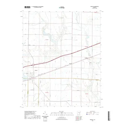
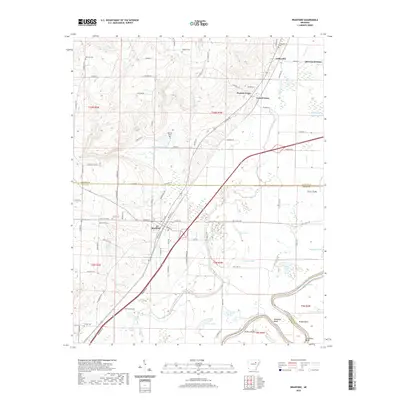
(34)- 2020 Map of Brinkley, 2020 Print
 2020 Brinkley2020 Print · USGSCovers Woodruff County, including Brinkley, Cotton Plant, and other nearby areas
 - 2020 Map of De Valls Bluff NE, 2020 Print
 2020 De Valls Bluff NE2020 Print · USGSCovers Woodruff County, including Cotton Plant, Monroe County, and other nearby areas
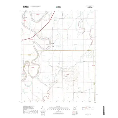
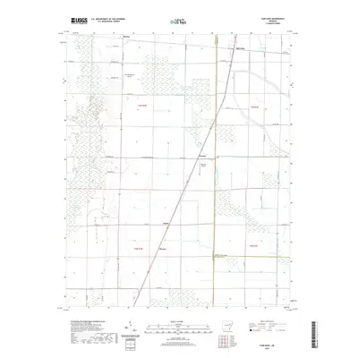
 - 2020 Map of Wheatley, 2020 Print
 2020 Wheatley2020 Print · USGSCovers Woodruff County, including Wheatley, Nash Corner, and other nearby areas
 - 2020 Map of Hunter East, 2020 Print
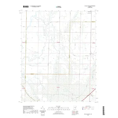
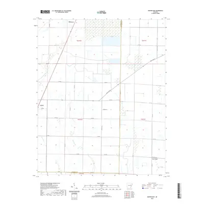 2020 Hunter East2020 Print · USGSCovers Woodruff County, including Hunter, Hillemann, and other nearby areas
 - 2020 Map of Georgetown, 2020 Print
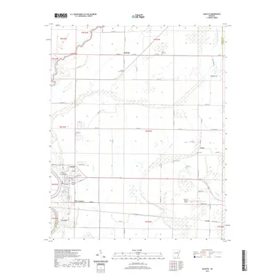
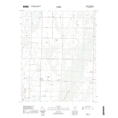
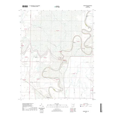 2020 Georgetown2020 Print · USGSCovers Woodruff County, including Georgetown, Mitchell Corner, and other nearby areas
 - 2020 Map of Cotton Plant, 2020 Print
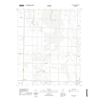 2020 Cotton Plant2020 Print · USGSCovers Woodruff County, including Cotton Plant, Dixie, and other nearby areas
 - 2020 Map of Augusta SW, 2020 Print
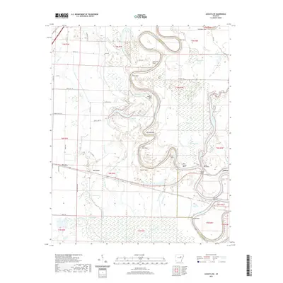 2020 Augusta SW2020 Print · USGSCovers Woodruff County, including Augusta, Rio Vista, and other nearby areas
 - 2020 Map of Tilton, 2020 Print
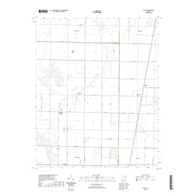 2020 Tilton2020 Print · USGSCovers Woodruff County, including Tilton, Morton, and other nearby areas
 - 2020 Map of Gregory SW, 2020 Print
 2020 Gregory SW2020 Print · USGSCovers Woodruff County, including Georgetown, Sand Hill, and other nearby areas
 - 2020 Map of Augusta NE, 2020 Print
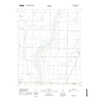
 2020 Augusta NE2020 Print · USGSCovers Woodruff County, including Bengel, Pleasant Grove, and other nearby areas
 - 2020 Map of McCrory, 2020 Print
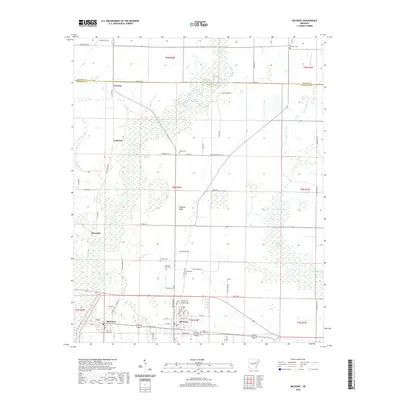 2020 McCrory2020 Print · USGSCovers Woodruff County, including McCrory, Patterson, and other nearby areas
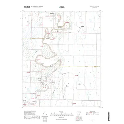
 - 2020 Map of Augusta, 2020 Print
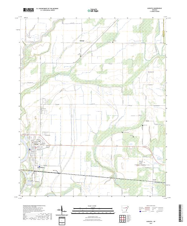
 2020 Augusta2020 Print · USGSCovers Woodruff County, including Augusta, Fitzhugh, and other nearby areas
 - 2020 Map of Hunter West, 2020 Print
 2020 Hunter West2020 Print · USGSCovers Woodruff County, including Cotton Plant, Hunter, and other nearby areas
 - 2020 Map of Bradford, 2020 Print
 2020 Bradford2020 Print · USGSCovers Woodruff County, including Bradford, Possum Grape, and other nearby areas
 - 2020 Map of Fair Oaks, 2020 Print
 2020 Fair Oaks2020 Print · USGSCovers Woodruff County, including Barson, Fair Oaks, and other nearby areas
 - 2020 Map of Gregory, 2020 Print
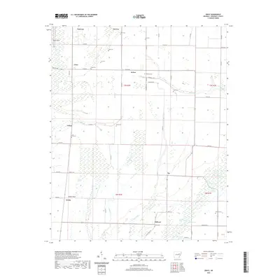
 2020 Gregory2020 Print · USGSCovers Woodruff County, including Gregory, Revel, and other nearby areas
 - 2020 Map of Grays, 2020 Print
 2020 Grays2020 Print · USGSCovers Woodruff County, including McCrory, Patterson, and other nearby areas
 - 2024 Map of Fair Oaks, 2024 Print
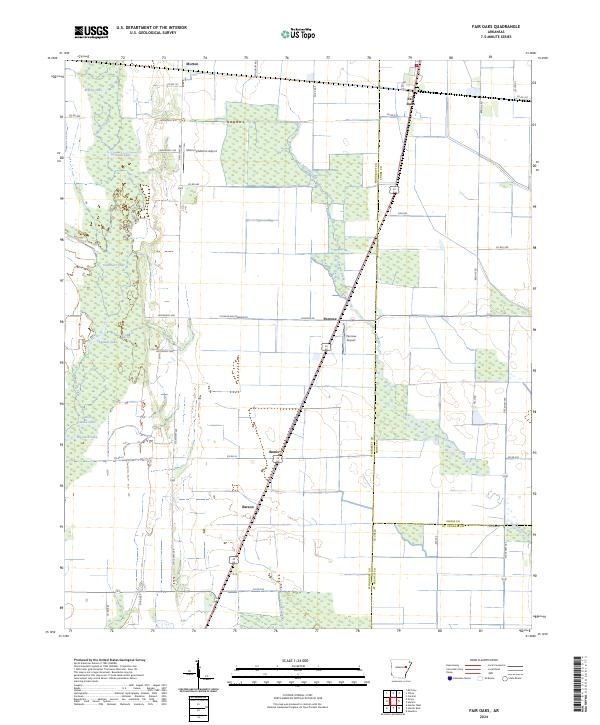 2024 Fair Oaks2024 Print · USGSEastern Arkansas at the edge of the Mississippi Delta is captured here, showing the intersection of heavy river bottomlands and high-yield farmland. Researchers can trace rural settlement patterns near Fair Oaks and Penrose or locate remote landmarks like Big Jack Lake.
 - 2024 Map of Augusta SW, 2024 Print
 2024 Augusta SW2024 Print · USGSWhite River bottomlands in the mid-2020s remain defined by a labyrinth of oxbows and sloughs between the settlements of Worden and Rio Vista. Local researchers can trace family landmarks like Smith Cem or explore the shifting shoreline at Taylor Bay Beach and Augusta Narrows.
 - 2024 Map of Hunter East, 2024 Print
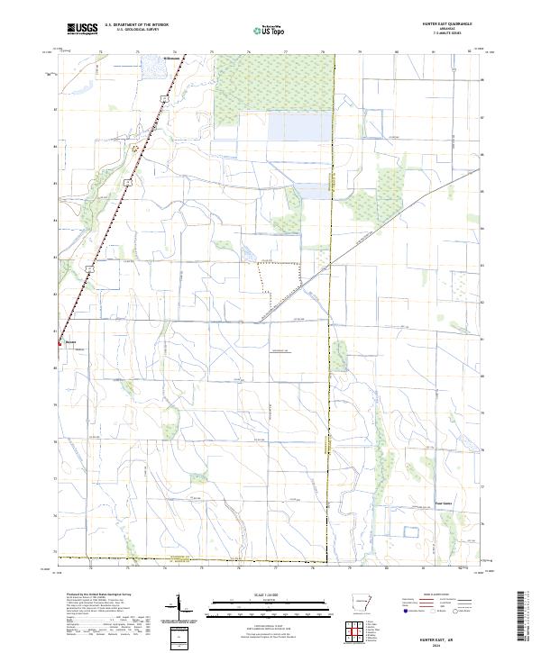 2024 Hunter East2024 Print · USGSWoodruff and St. Francis counties are captured here in the mid-2020s, showing a landscape defined by historic transit and drainage. Researchers can trace the diagonal path of the Old Military Rd or locate small settlements like Hunter and Four Gums.
 - 2024 Map of Augusta, 2024 Print
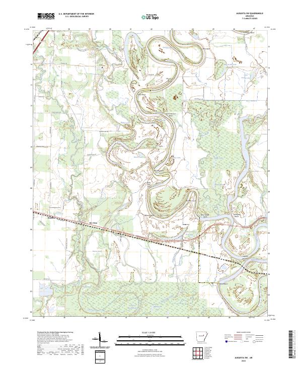
 2024 Augusta2024 Print · USGSAugusta and the surrounding Woodruff County bottomlands are captured here at the bend of the White River. Researchers can trace the layout of the county seat near the Woodruff County Courthouse or locate outlying rural landmarks like Fitzhugh and the New Salem Cem.
 - 2024 Map of Gregory SW, 2024 Print
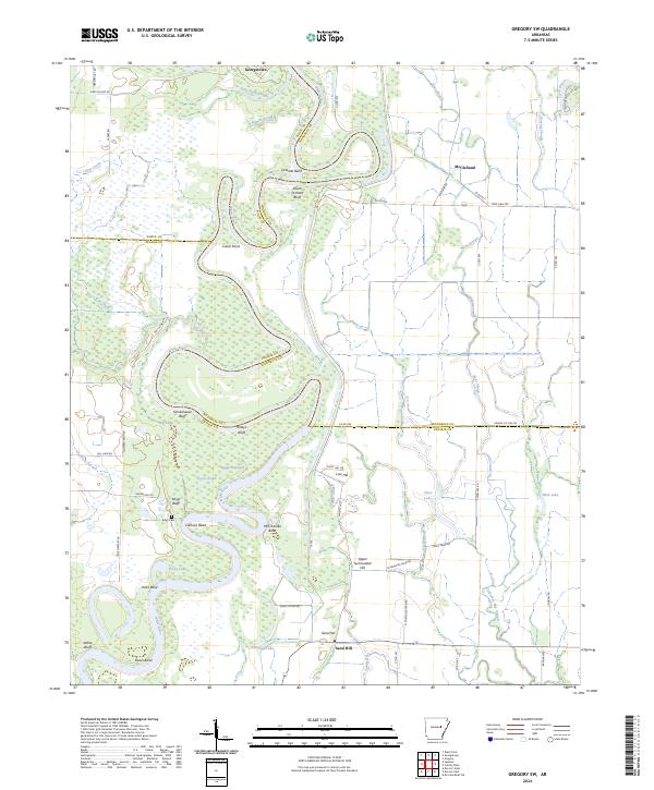 2024 Gregory SW2024 Print · USGSThe river-bottom country of central Arkansas is meticulously detailed here during the early 2020s. Local researchers can trace family landmarks along the river bends or locate sites like Georgetown, the Kings Cem, and Peach Orchard Bluff.
 - 2024 Map of Wheatley, 2024 Print
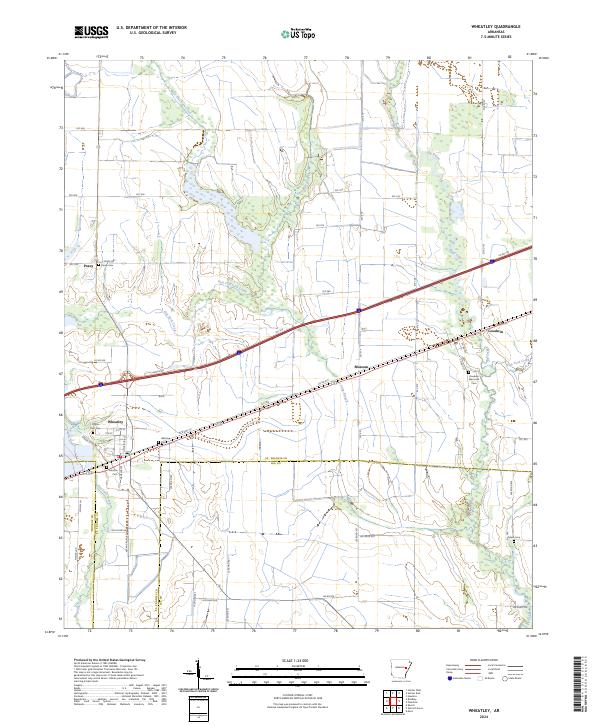 2024 Wheatley2024 Print · USGSThe rural crossing at Wheatley and the surrounding Arkansas lowlands are documented here in the early twenty-first century. Researchers can trace local lineages through numerous sites like Goodwin Memorial Cem, Waldrop Cem, and the community of Blossom.
 - 2024 Map of Brinkley, 2024 Print
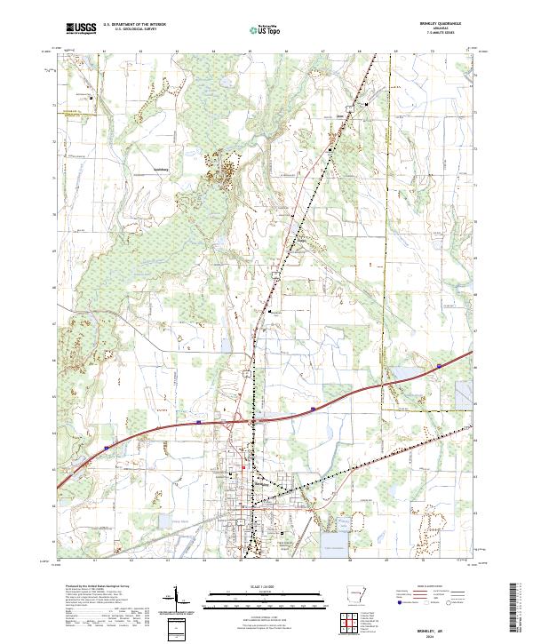 2024 Brinkley2024 Print · USGSMonroe County is depicted in the mid-2020s as a landscape defined by the intersection of the Cache River National Wildlife Refuge and the city of Brinkley. Researchers can trace local lineage through several cemeteries including Macedonia Cem and Henard Cem, or explore the wetlands around Bayou De View.
 - 2024 Map of Bradford, 2024 Print
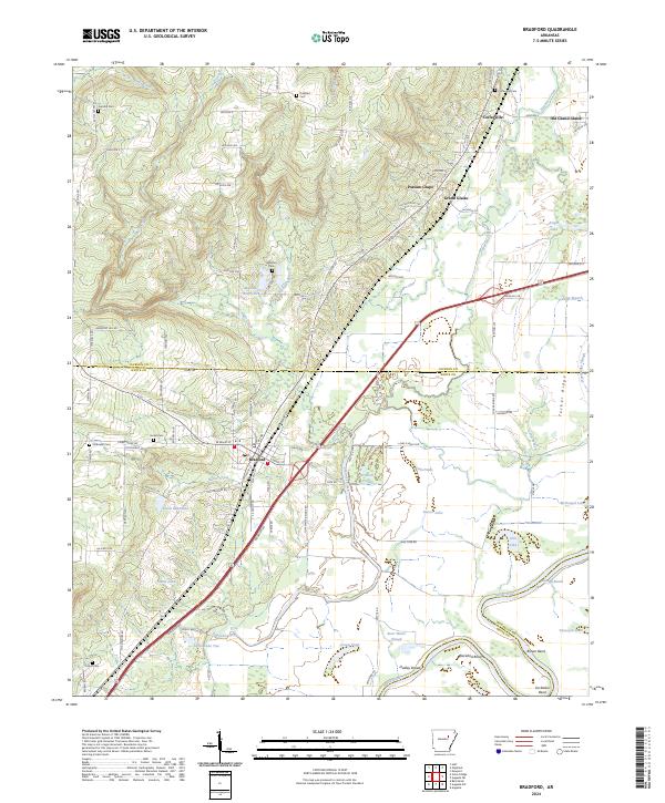 2024 Bradford2024 Print · USGSThe borderlands of White and Jackson counties are captured here in the 2020s, showing the enduring rural layout of the Arkansas bottomlands. Researchers can locate family landmarks like Hickman Cem or trace the river heritage of Grand Glaise and Old Grand Glaise.
Showing maps 1-25 of 34
Top cities of Woodruff County
- Augusta historical maps
- McCrory historical maps
- Cotton Plant historical maps
- Patterson historical maps
- Hunter historical maps
Frequently asked questions
- What are the different types of historical maps available for Woodruff County?
- What is the oldest map of Woodruff County?
- Where can I purchase historical maps of Woodruff County for my home or office?
- Where can I download high-res historical maps of Woodruff County?
- Are there historical topographic maps available for Woodruff County?
- Is there historical aerial imagery available for Woodruff County?
- Where are historical maps of Woodruff County sourced from?