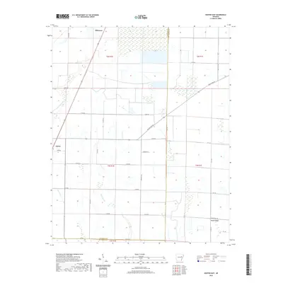
2020 Map of Hunter East
USGS Topo · Published 2020About this map
The town of Hunter sits at a crossroads of early transit routes in Woodruff County, where the legacy of early Arkansas movement is preserved in local names. A diagonal path across the landscape is traced by the Old Military Rd, a route that historically connected vital settlements across the region. The map captures the agricultural and hydrologic character of the area just east of the White River valley, defined by the drainage of Big Cr and the winding channels of E Flat Fork Cr and W Flat Fork Cr. Small communities and agricultural junctions like Hillemann to the north and Four Gums in the southeast corner anchor the rural survey. Near the southern boundary, local industry and commerce are suggested by Slonkers Mill Rd, while the county line between Woodruff and St. Francis counties segments the eastern edge of the quadrangle.
Find a feature on this map
37 named features on this map. Tap any name to fly to it.
Don’t see what you’re looking for? This feature index may not catch every label — zoom into the map to look around manually.
Map Details
Editions of this 2020 Hunter East Map
This is the sole edition of this map. No revisions or reprints were ever made.
Other maps of this area

1939 · Wynne
USGS Topo · 1:62,500

1939 · Hunter
USGS Topo · 1:62,500

1940 · Brinkley
USGS Topo · 1:62,500

1940 · Marianna
USGS Topo · 1:62,500

1948 · Helena
USGS Topo · 1:250,000

1950 · Helena
USGS Topo · 1:250,000

1953 · Memphis
USGS Topo · 1:250,000

1955 · Helena
USGS Topo · 1:250,000

1956 · Memphis
USGS Topo · 1:250,000

1956 · Hunter
USGS Topo · 1:62,500