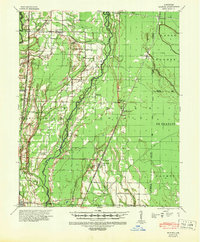
1956 Map of Hunter
USGS Topo · Published 1968About this map
Cache River and its complex network of tributaries, including Bayou De View and Big Creek, dominate this mid-century landscape where Woodruff, Cross, and St. Francis Counties meet. The terrain is marked by extensive drainage infrastructure, including a Flume, Ditch, and various Levee systems designed to manage the bottomlands. The St Louis Southwestern railroad provides a primary transportation spine, connecting established rural hubs like Hunter, Cotton Plant, and Fairoaks.
Find a feature on this map
85 named features on this map. Tap any name to fly to it.
Don’t see what you’re looking for? This feature index may not catch every label — zoom into the map to look around manually.
Map Details
Editions of this 1956 Hunter Map
This is the sole edition of this map. No revisions or reprints were ever made.
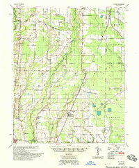
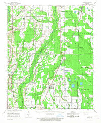
Historical Maps of McCrory Through Time
3 maps found