Old Maps of Danville, Arkansas for Metal Detecting
Plan your next treasure hunt with 20 historic maps of Danville. Find old homesites, ghost towns, trails, and gathering spots that may be lost to time — perfect for identifying promising metal detecting locations.
- Locate forgotten sites: Uncover places like long-lost settlements, abandoned rail lines, or gathering spots.
- Plan better hunts: Use map overlays combined with LiDAR or satellite views to narrow in on historically rich areas.
- Made for detectorists: Thousands of hobbyists use these maps to discover relics, coins, and hidden history.
Use these historic maps to boost your research and find new opportunities beneath the surface of Danville.
Danville, AR maps
(20)- 1888 Map of Dardanelle #3
 1888 Dardanelle #31888 Print · USGSYell County in the late 1880s was a land of prominent ridges and small valley settlements. Genealogists can trace family roots through rural post offices and early townships like Hobert P.O., Belleville, and the landmarks around Chickalah Mountain.
 - 1890 Map of Dardanelle
 1890 Dardanelle1890 Print · USGSThe Arkansas River valley was a primary corridor of settlement in the 1890s, anchored by the river towns of Dardanelle and Russellville. Genealogists can locate early homesteads near Mt. Nebo, Lutherville, or the old post office at Chickalah.7 unique versions available
 - 1956 Map of Russellville
 1956 Russellville1956 Print · USGSThe Arkansas River valley and the surrounding Boston Mountains are captured here in the mid-fifties, showing a landscape of small timber towns and new reservoirs. Genealogists can trace family roots through upland settlements like Pelsor and Witts Springs or locate the campus of Arkansas Polytechnic College.2 unique versions available
 - 1964 Map of Russellville
 1964 Russellville1964 Print · USGSMid-century Central Arkansas is defined here by the river-valley towns and the surrounding mountain ranges before the full expansion of the interstate system. Genealogists and historians can trace rail-town development along the Missouri Pacific Railroad and locate landmarks like Arkansas Polytechnic College or Petit Jean State Park.
 - 1972 Map of Danville Mountain, 1974 Print
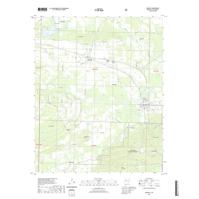
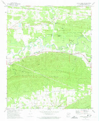 1972 Danville Mountain1974 Print · USGSYell County in the early seventies shows a landscape shaped by the Petit Jean River and the Chicago Rock Island and Pacific railroad. Genealogists can locate family landmarks such as Salem Ch and the rural community of Mickles.
 - 1972 Map of Danville, 1974 Print
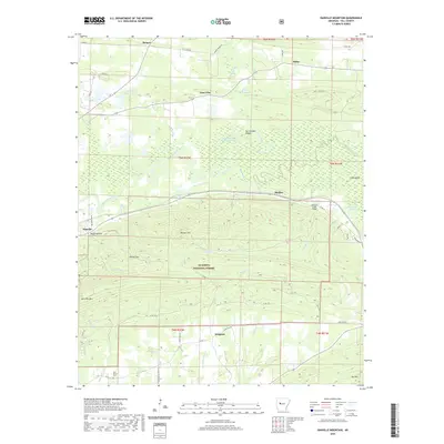
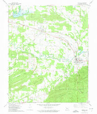 1972 Danville1974 Print · USGSYell County in the early seventies shows a landscape of river-bottom farms and timbered ridges just as the local rail economy persisted. Genealogists and local historians can trace family locations through numerous sites like Harris Chapel, Ladd Memorial Cem, and the settlement at Macedonia.
 - 1977 Map of Russellville
 1977 Russellville1977 Print · USGSThe Arkansas River Valley and surrounding Ozark Mountains are documented here during a period of significant postwar growth and infrastructure development. Genealogists and researchers can locate family landmarks such as Mount Carmel Cem, St Josephs Church, and several remote Coal Mine sites along the Missouri Pacific RR line.
 - 1984 Map of Russellville
 1984 Russellville1984 Print · USGSThe Arkansas River valley in the mid-eighties shows a landscape defined by the rise of Lake Dardanelle and the enduring presence of the Ozark National Forest. Researchers can find historical institutions like Arkansas Tech Univ and Sacred Heart Church or trace the routes of the Missouri Pacific RR.2 unique versions available
 - 1984 Map of Russellville
 1984 Russellville1984 Print · USGSThe Arkansas River valley was undergoing significant change in the 1950s as transportation and water management reshaped the region from Russellville to Conway. Researchers can trace the era's rail networks like the Missouri Pacific RR and explore landmarks like Magazine Mountain and Petit Jean State Park.
 - 1992 Map of Russellville, 1993 Print
 1992 Russellville1993 Print · USGSCentral Arkansas in the early nineties shows a landscape defined by the Arkansas River valley and the surrounding national forests. Trace the development of river towns like Russellville and Dardanelle alongside landmarks such as Lake Dardanelle and Magazine Mtn.
 - 2011 Map of Danville, 2011 Print
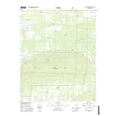
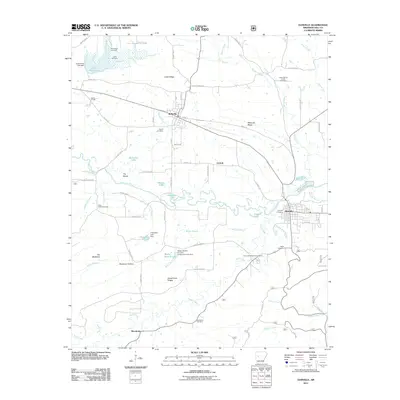 2011 Danville2011 Print · USGSCovers Danville, including Belleville, Corinth, and other nearby areas
 - 2011 Map of Danville Mountain, 2011 Print
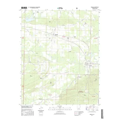
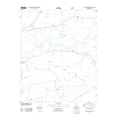 2011 Danville Mountain2011 Print · USGSCovers Danville, including Alpha, Kingston, and other nearby areas
 - 2014 Map of Danville Mountain, 2014 Print
 2014 Danville Mountain2014 Print · USGSCovers Danville, including Alpha, Kingston, and other nearby areas
 - 2014 Map of Danville, 2014 Print
 2014 Danville2014 Print · USGSCovers Danville, including Belleville, Corinth, and other nearby areas
 - 2017 Map of Danville Mountain, 2017 Print
 2017 Danville Mountain2017 Print · USGSCovers Danville, including Alpha, Kingston, and other nearby areas
 - 2017 Map of Danville, 2017 Print
 2017 Danville2017 Print · USGSCovers Danville, including Belleville, Corinth, and other nearby areas
 - 2020 Map of Danville, 2020 Print
 2020 Danville2020 Print · USGSCovers Danville, including Belleville, Corinth, and other nearby areas
 - 2020 Map of Danville Mountain, 2020 Print
 2020 Danville Mountain2020 Print · USGSCovers Danville, including Alpha, Kingston, and other nearby areas
 - 2024 Map of Danville Mountain, 2024 Print
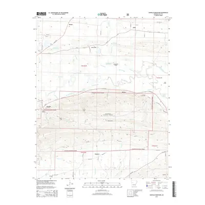
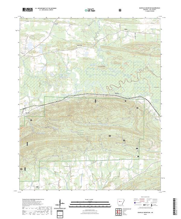 2024 Danville Mountain2024 Print · USGSYell County, Arkansas, is captured here in the 2020s where the river valley meets the northern edge of the national forest. Researchers can trace family sites at New Bethel Cem or explore the landscape around Danville, Lone Pine, and the ridges of Danville Mountain.
 - 2024 Map of Danville, 2024 Print
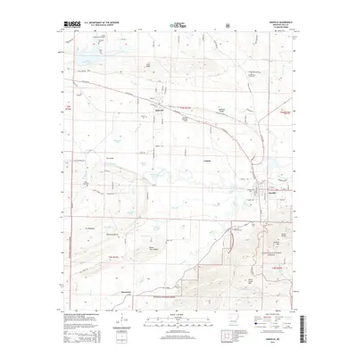
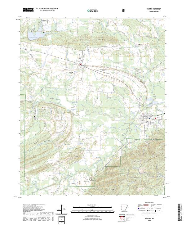 2024 Danville2024 Print · USGSYell County's river valleys and ridgelines are documented here in the contemporary era. Researchers can trace ancestral sites and rural communities from Belleville to Corinth, locating historic grounds like Danville Cem and the Yell County Courthouse.
End of results
Showing maps 1-20 of 20
Top cities near Danville
- Russellville historical maps
- Dardanelle historical maps
- Ola historical maps
- Plainview historical maps
- Belleville historical maps
- Havana historical maps
See more
Frequently asked questions
- What are the different types of historical maps available for Danville?
- What is the oldest map of Danville?
- Where can I purchase historical maps of Danville for my home or office?
- Where can I download high-res historical maps of Danville?
- Are there historical topographic maps available for Danville?
- Is there historical aerial imagery available for Danville?
- Where are historical maps of Danville sourced from?