Old Maps of Paradise, California
Explore 18 old maps of Paradise, spanning from 1891 to today. These high-resolution historic maps reveal how streets, neighborhoods, landmarks, and natural features evolved over time — perfect for genealogy, metal detecting, research, and local history exploration.
What you can do with these maps:
- See how Paradise changed over time: Compare historical maps to modern-day views to trace roads, homesites, rail lines & more.
- View detailed metadata: Each map includes creators, publishers, year, scale, and archive source.
- Overlay maps with satellite & LiDAR: Visualize the past alongside modern tools to explore terrain & human change.
- Trusted historical sources: Maps sourced from the USGS, Library of Congress, and other archives.
- Access maps your way: View online, download high-res files, or order prints for personal or research use.
Start exploring old maps of Paradise to uncover forgotten places, hidden landmarks, and the deep history beneath your feet.
Paradise, CA maps
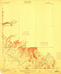
(18)- 1891 Map of Chico
 1891 Chico1891 Print · USGSCovers Paradise, including Chico, Oroville, and other nearby areas
 - 1893 Map of Chico
 1893 Chico1893 Print · USGSCovers Paradise, including Chico, Oroville, and other nearby areas
 - 1895 Map of Chico
 1895 Chico1895 Print · USGSCovers Paradise, including Chico, Oroville, and other nearby areas8 unique versions available
 - 1912 Map of Clear Creek
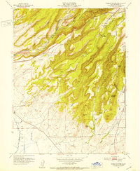
 1912 Clear Creek1912 Print · USGSCovers Paradise, including Durham, Butte County, and other nearby areas2 unique versions available
 - 1942 Map of Oroville, 1958 Print
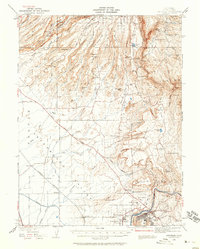 1942 Oroville1958 Print · USGSCovers Paradise, including Oroville, Durham, and other nearby areas2 unique versions available
 - 1944 Map of Oroville
 1944 Oroville1944 Print · USGSCovers Paradise, including Oroville, Durham, and other nearby areas2 unique versions available
 - 1947 Map of Cherokee, 1961 Print
 1947 Cherokee1961 Print · USGSCovers Paradise, including Yankee Hill, Pentz, and other nearby areas3 unique versions available
 - 1949 Map of Cherokee
 1949 Cherokee1949 Print · USGSCovers Paradise, including Yankee Hill, Pentz, and other nearby areas2 unique versions available
 - 1951 Map of Hamlin Canyon, 1952 Print
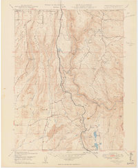
 1951 Hamlin Canyon1952 Print · USGSCovers Paradise, including Durham, Butte County, and other nearby areas5 unique versions available
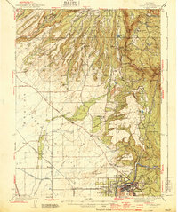
 - 1953 Map of Paradise, 1955 Print
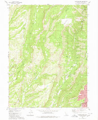
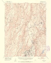 1953 Paradise1955 Print · USGSCovers Paradise, including Chico, Stirling City, and other nearby areas5 unique versions available
 - 1958 Map of Chico, 1962 Print
 1958 Chico1962 Print · USGSCovers Paradise, including Reno, Chico, and other nearby areas4 unique versions available
 - 1960 Map of Chico
 1960 Chico1960 Print · USGSCovers Paradise, including Reno, Chico, and other nearby areas
 - 1970 Map of Cherokee, 1973 Print
 1970 Cherokee1973 Print · USGSCovers Paradise, including Yankee Hill, Pentz, and other nearby areas2 unique versions available
 - 1980 Map of Chico
 1980 Chico1980 Print · USGSCovers Paradise, including Chico, Oroville, and other nearby areas2 unique versions available
 - 1980 Map of Paradise East
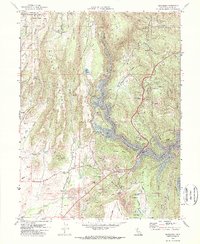
 1980 Paradise East1980 Print · USGSCovers Paradise, including Mineral Slide, Magalia, and other nearby areas
 - 1980 Map of Paradise West
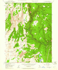
 1980 Paradise West1980 Print · USGSCovers Paradise, including Chico, Helltown, and other nearby areas4 unique versions available
 - 1994 Map of Cherokee, 1997 Print
 1994 Cherokee1997 Print · USGSCovers Paradise, including Yankee Hill, Pentz, and other nearby areas
 - 1994 Map of Paradise East, 1998 Print
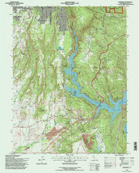
 1994 Paradise East1998 Print · USGSCovers Paradise, including Mineral Slide, Magalia, and other nearby areas
End of results
Showing maps 1-18 of 18
Top cities near Paradise
Frequently asked questions
- What are the different types of historical maps available for Paradise?
- What is the oldest map of Paradise?
- Where can I purchase historical maps of Paradise for my home or office?
- Where can I download high-res historical maps of Paradise?
- Are there historical topographic maps available for Paradise?
- Is there historical aerial imagery available for Paradise?
- Where are historical maps of Paradise sourced from?