2020s Maps of Calexico, California
Explore 2 historic maps of Calexico from the 2020s. These maps offer a rare glimpse into what life looked like during the 2020s — showing old roads, neighborhoods, homes, and landmarks that have changed or disappeared over time.
Whether you're researching your family's past, planning a metal detecting trip, or studying how Calexico's landscape evolved across the 2020s, these high-resolution maps are a powerful tool for exploring the history of this region.
- Focus on a specific era: All maps on this page are from the 2020s, giving you a focused view of this time period.
- See what’s changed: Compare century-old streets, trails, and buildings to today's modern landscape using overlays and satellite layers.
- Research with precision: Use these maps for genealogy, historical research, land use analysis, or educational projects.
- View, download, or print: Maps are fully viewable online in high resolution, and can be downloaded or printed for your own records.
Start exploring Calexico's history through authentic maps from the 2020s. This is your window into the past.
Calexico, CA maps
(2)- 2021 Map of Calexico, 2021 Print
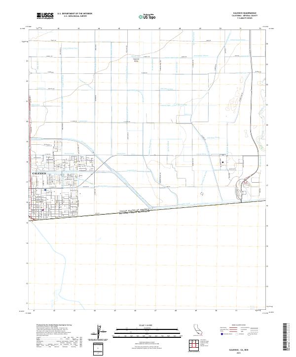 2021 Calexico2021 Print · USGSCalexico and the southern Imperial Valley are shown at the height of their modern agricultural development along the international border. Researchers can trace the massive network of irrigation channels including the All-American Canal and the San Diego State University Imperial Valley Campus.
 - 2021 Map of Heber, 2021 Print
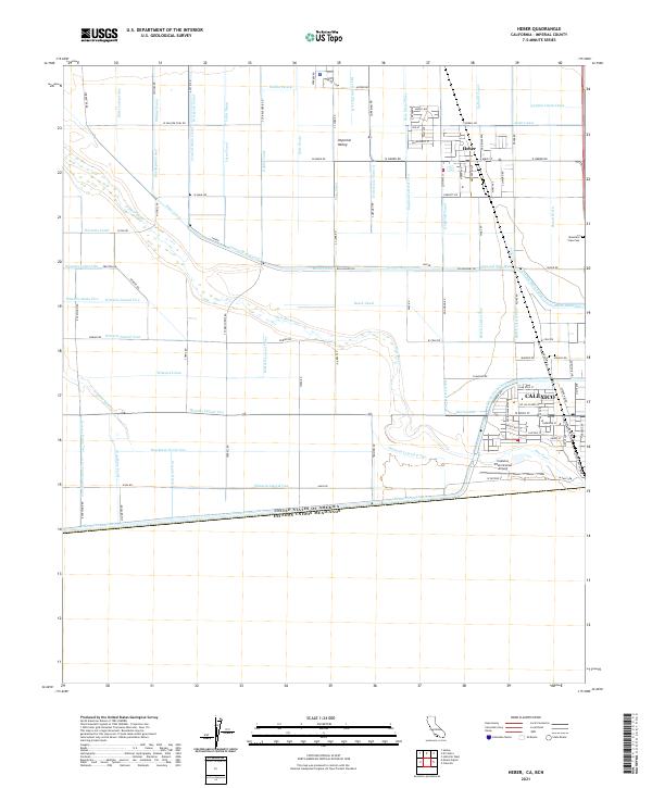 2021 Heber2021 Print · USGSThe California borderlands and the irrigated fields of the Imperial Valley are captured here in recent detail. Researchers can trace the massive water infrastructure of the All-American Canal and the local landmarks of Heber and the Calexico International Airport.
End of results
Showing maps 1-2 of 2
Top cities near Calexico
Frequently asked questions
- What are the different types of historical maps available for Calexico?
- What is the oldest map of Calexico?
- Where can I purchase historical maps of Calexico for my home or office?
- Where can I download high-res historical maps of Calexico?
- Are there historical topographic maps available for Calexico?
- Is there historical aerial imagery available for Calexico?
- Where are historical maps of Calexico sourced from?