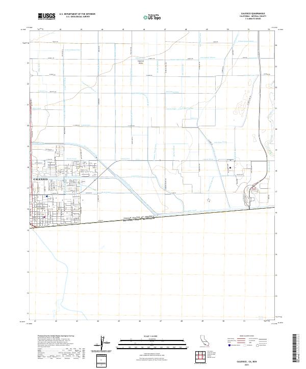
2021 Map of Calexico
USGS Topo · Published 2021About this map
Calexico and the southern reaches of the Imperial Valley are defined by a complex, grid-like geometry of water management at the international border. The landscape is a testament to hydraulic engineering, dominated by the massive All-American Canal and its intricate network of primary and secondary channels including the Central Main Canal, Beech Canal, and Briar Canal. These waterways dictate the orientation of the surrounding fields and roads, such as Anza Rd and Correll Rd, which follow the strict township and range lines across the desert floor.
Find a feature on this map
100 named features on this map. Tap any name to fly to it.
Don’t see what you’re looking for? This feature index may not catch every label — zoom into the map to look around manually.
Map Details
Editions of this 2021 Calexico Map
This is the sole edition of this map. No revisions or reprints were ever made.
Other maps of this area

1907 · Holtville
USGS Topo · 1:125,000

1915 · El Centro
USGS Topo · 1:125,000

1940 · Brawley
USGS Topo · 1:62,500

1940 · Heber
USGS Topo · 1:62,500

1940 · Alamorio
USGS Topo · 1:62,500

1940 · Calexico
USGS Topo · 1:62,500

1942 · El Centro
USGS Topo · 1:250,000

1943 · Heber
USGS Topo · 1:62,500

1943 · Brawley
USGS Topo · 1:62,500

1943 · Calexico
USGS Topo · 1:62,500