Old Maps of Calipatria, California for Hiking & Exploration
Hike through history with 29 historic maps of Calipatria. Explore old trails, ghost towns, and forgotten backroads — perfect for outdoor adventurers and local explorers.
- Rediscover forgotten places: Map out old mining camps, roads, and footpaths that no longer exist on modern maps.
- Layer with modern tools: Combine with LiDAR or satellite views to plan hikes through historical terrain.
- Made for exploration: Popular among hikers, overlanders, and local history lovers.
Use these maps to find adventure and explore the hidden past of Calipatria.
Calipatria, CA maps
(29)- 1940 Map of Iris, 1956 Print
 1940 Iris1956 Print · USGSImperial County at the start of the 1940s showcases a desert undergoing industrial transformation through a vast network of irrigation canals. Genealogists and historians can trace rail sidings like Flowing Well Siding and rural landmarks such as Mulberry Sch or the settlement of Wiest.4 unique versions available
 - 1944 Map of Calipatria, 1945 Print
 1944 Calipatria1945 Print · USGSThe Imperial Valley's desert reclamation and wartime agriculture are in full focus on this mid-1940s survey. Genealogists and local historians can trace the growth of Calipatria and Niland or locate rural landmarks like the Trifolium School and Hovley Siding.4 unique versions available
 - 1945 Map of Iris
 1945 Iris1945 Print · USGSImperial County at the close of the war shows a landscape divided between the harsh desert and a burgeoning irrigation empire. Genealogists and historians can trace the early desert outposts of Iris and Tortuga alongside local landmarks like Mulberry Sch.
 - 1954 Map of Salton Sea
 1954 Salton Sea1954 Print · USGSThe Colorado River and Imperial Valley desert frontiers are captured here in the 1950s. Trace the irrigation networks of Calipatria and mining sites like Eagle Mountain Mine.
 - 1955 Map of Salton Sea
 1955 Salton Sea1955 Print · USGSThe Colorado River and Imperial Valley desert basins appear here during the mid-fifties, revealing a landscape of remote mines and agricultural irrigation. Genealogists and researchers can trace locations like the Parker Alien Reception Center Unit No 1, Blythe, and the Kane Springs School.2 unique versions available
 - 1956 Map of Iris, 1957 Print
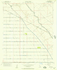 1956 Iris1957 Print · USGSThe Imperial Valley desert undergoes a massive transformation in the mid-1950s as irrigation canals and military reserves reshape the terrain. Trace the complex Coachella Canal network, the Southern Pacific tracks through Iris, and the Camp Dunlap Naval Reservation.4 unique versions available
 - 1956 Map of Niland, 1957 Print
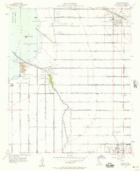 1956 Niland1957 Print · USGSThe Imperial Valley's southeastern shoreline in the mid-fifties is a landscape of industrial wells and elaborate irrigation. Genealogists and historians can trace the development of Niland and Calipatria while locating Carbon Dioxide Wells, the Fremont Sch, and the geothermal Mud Pots.4 unique versions available
 - 1956 Map of Westmorland, 1957 Print
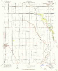 1956 Westmorland1957 Print · USGSImperial Valley's agricultural heartland is captured here in the mid-1950s, showing the intricate irrigation systems and rail-dependent towns of the California desert. Researchers can trace the early layout of Westmorland and Calipatria, alongside remote stations like Rockwood and the riparian habitats of Ramer Lake.3 unique versions available
 - 1959 Map of Salton Sea, 1968 Print
 1959 Salton Sea1968 Print · USGSThe Colorado River and Salton Sea basin are shown here during a decade of intense military and agricultural activity. Trace family roots in Blythe or Niland, and locate historical mining operations like the Eagle Mountain Mine and Red Cloud Mine.4 unique versions available
 - 1963 Map of Salton Sea
 1963 Salton Sea1963 Print · USGSThe Colorado Desert during the early sixties shows a landscape defined by massive water projects and Cold War military ranges. Trace the growth of Salton City and Brawley, or locate remote desert outposts like the Paymaster Mine and Desert Center.
 - 1965 Map of Salton Sea
 1965 Salton Sea1965 Print · USGSThe Colorado Desert and Imperial Valley are caught in a period of intense irrigation and military expansion during the mid-sixties. Researchers can trace the desert's industrial footprint through the Eagle Mountain Mine, the remote Desert Center, and the Salton Sea Test Base.
 - 1976 Map of Calipatria
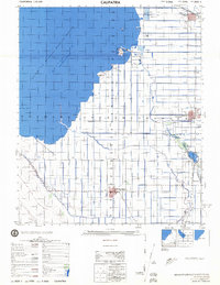 1976 Calipatria1976 Print · USGSThe Imperial Valley landscape in the mid-seventies is defined here by the receding Salton Sea and a vast irrigation grid. Trace the routes of the Southern Pacific through Calipatria and explore local landmarks like the Mud Pots and Vail Ranch.
 - 1985 Map of Salton Sea
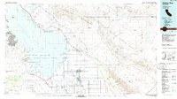 1985 Salton Sea1985 Print · USGSIn the mid-1980s, the California desert around the Salton Sea shows a unique mix of military gunnery ranges, irrigated agriculture, and shoreline settlements. Trace the Southern Pacific rail route through Niland and Bombay Beach, or locate remote desert sites like the Black Eagle Mine.2 unique versions available
 - 1992 Map of Iris, 1995 Print
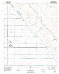 1992 Iris1995 Print · USGSThe Imperial Valley desert meets industrial agriculture in the early 1990s as the Coachella Canal cuts across the East Mesa. Researchers can trace the complex water grid of J Drain and L Drain or locate Calipatria State Prison.
 - 1992 Map of Westmorland East, 1995 Print
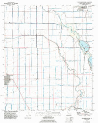 1992 Westmorland East1995 Print · USGSImperial Valley's engineering is on full display in the 1990s, showing the intricate grid of canals and drains surrounding Calipatria and Westmorland. Researchers can trace the water systems of the Vail Supply Canal and locate rural landmarks like Rockwood, Hovley, and the North End Dam.
 - 1992 Map of Niland, 1995 Print
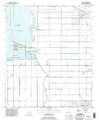 1992 Niland1995 Print · USGSThe Imperial Valley's shoreline and irrigation networks are on full display in the early nineties as the desert meets the sea. Genealogists and researchers can trace the development of Niland and Calipatria alongside landmarks like the Calipatria State Prison and Carbon Dioxide Wells.2 unique versions available
 - 2002 Map of Iris, 2004 Print
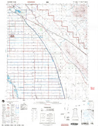 2002 Iris2004 Print · USGSImperial County at the turn of the millennium shows a fascinating divide between the Algodones Dunes and reclaimed desert farmland. Researchers can trace irrigation networks like the Coachella Canal alongside rail-aligned outposts such as Iris and Amos.
 - 2012 Map of Niland, 2012 Print
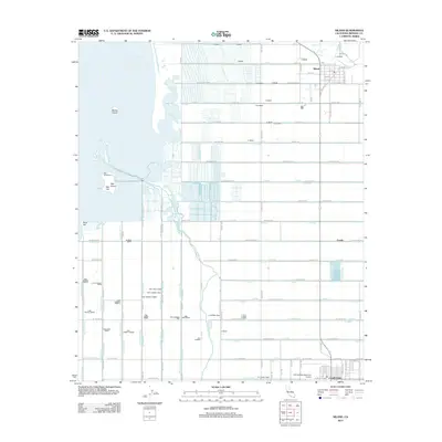 2012 Niland2012 Print · USGSThe reclaimed desert of Imperial County is seen here in the early twenty-first century, showing the intersection of the Salton Sea and a massive irrigation network. Researchers can trace the water systems and local landmarks like Niland, Red Hill Marina, and the Cliff Hatfield Memorial Airport.
 - 2012 Map of Westmorland East, 2012 Print
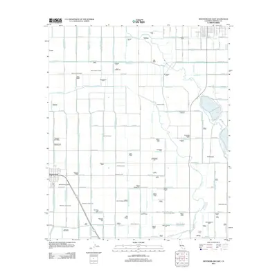 2012 Westmorland East2012 Print · USGSThe Imperial Valley's complex agricultural grid is in full view here during the early 2010s. Trace the vital water networks of the Alamo River and New River alongside local landmarks like Hovley Siding, Westmorland, and the Vail Supply Canal.
 - 2012 Map of Iris, 2012 Print
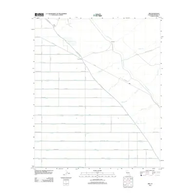 2012 Iris2012 Print · USGSImperial County irrigation systems and desert settlements are shown here during the early twenty-first century. Researchers can trace the sophisticated water networks of the Coachella Canal and the E Highline Canal near Iris and Flowing Wells.
 - 2015 Map of Westmorland East, 2015 Print
 2015 Westmorland East2015 Print · USGSThe northern Imperial Valley comes into sharp focus during the mid-2010s, showing a landscape defined by industrial-scale irrigation and historic desert settlements. Genealogists and historians can trace the grid-work of family-named roads and water systems connecting Calipatria, Westmorland, and Rockwood.
 - 2015 Map of Niland, 2015 Print
 2015 Niland2015 Print · USGSImperial Valley agriculture and the Salton Sea shoreline meet in this 2015 study of the Niland area. Trace the irrigation network of the Alamo River and locate local landmarks like Mullet Island or the Cliff Hatfield Memorial Airport.
 - 2015 Map of Iris, 2015 Print
 2015 Iris2015 Print · USGSThe Imperial Valley's desert-to-farmland transition is meticulously documented here during the mid-2010s. Trace the complex irrigation network of the Coachella Canal and East Highline Canal alongside landmarks like Iris and Siphon Five.
 - 2018 Map of Iris, 2018 Print
 2018 Iris2018 Print · USGSImperial County agriculture is on full display in this modern survey of the irrigated desert floor. Genealogists and historians can trace the intricate network of the E Highline Canal and local landmarks like Iris and the edge of Calipatria.
 - 2018 Map of Niland, 2018 Print
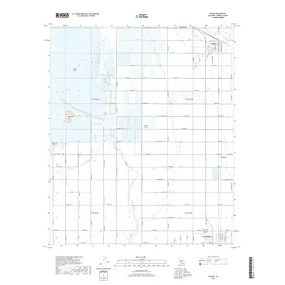 2018 Niland2018 Print · USGSThe northern Imperial Valley comes into focus in the late 2010s, showcasing the massive irrigation grid supporting the desert. Researchers can trace the shoreline of the Salton Sea and locate landmarks like the Cliff Hatfield Memorial Airport and Rock Hill.
Showing maps 1-25 of 29
Top cities near Calipatria
- Brawley historical maps
- Westmorland historical maps
- Slab City historical maps
- Poe Colonia historical maps
Frequently asked questions
- What are the different types of historical maps available for Calipatria?
- What is the oldest map of Calipatria?
- Where can I purchase historical maps of Calipatria for my home or office?
- Where can I download high-res historical maps of Calipatria?
- Are there historical topographic maps available for Calipatria?
- Is there historical aerial imagery available for Calipatria?
- Where are historical maps of Calipatria sourced from?