Old Maps of Picacho, California for Academic Research
Study the evolution of Picacho with 15 high-resolution historic maps. Whether you're teaching, researching, or modeling changes in land use, these maps provide essential visual documentation of urban, environmental, and geographic change.
- Analyze long-term change: Track patterns in development, transportation, and natural features.
- Ideal for environmental or urban studies: Support academic projects with primary historical map data.
- Use in the classroom or lab: Educators and researchers rely on these maps to bring historical context to life.
These maps are a powerful tool for teaching, research, and visualizing how Picacho has changed over the decades.
Picacho, CA maps
(15)- 1942 Map of Blythe
 1942 Blythe1942 Print · USGSThe Lower Colorado River valley appears here in the early 1940s, showcasing the agricultural development of the Palo Verde Mesa alongside a booming mining industry. Researchers can locate remote desert outposts and extraction sites like Midland, the U S Gypsum Mine, and Nortons Landing.2 unique versions available
 - 1945 Map of Picacho
 1945 Picacho1945 Print · USGSThe Lower Colorado River corridor is captured here in the mid-1940s, showing a landscape defined by remote mining camps and vital ferry crossings. Trace the history of the regional mineral boom through the Red Cloud Mine, Hoge Ferry, and the Adobe Ruins.
 - 1951 Map of Picacho, 1952 Print
 1951 Picacho1952 Print · USGSThe Colorado River corridor along the Arizona-California border is shown here in the early fifties, balancing wildlife conservation with a legacy of desert mining. Researchers can trace historic river landings and mountain operations like Nortons Landing (Site), Picacho, and the Red Cloud Mine.3 unique versions available
 - 1954 Map of Salton Sea
 1954 Salton Sea1954 Print · USGSThe Colorado River and Imperial Valley desert frontiers are captured here in the 1950s. Trace the irrigation networks of Calipatria and mining sites like Eagle Mountain Mine.
 - 1954 Map of Picacho, 1956 Print
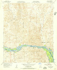 1954 Picacho1956 Print · USGSThe Colorado River borderlands in the mid-fifties reveal a landscape of active military testing and dormant mining claims. Researchers can trace the desert's industrial past through the Picacho Mill Ruins, the Red Cloud Mine, and the cemetery near Picacho.
 - 1955 Map of Salton Sea
 1955 Salton Sea1955 Print · USGSThe Colorado River and Imperial Valley desert basins appear here during the mid-fifties, revealing a landscape of remote mines and agricultural irrigation. Genealogists and researchers can trace locations like the Parker Alien Reception Center Unit No 1, Blythe, and the Kane Springs School.2 unique versions available
 - 1959 Map of Salton Sea, 1968 Print
 1959 Salton Sea1968 Print · USGSThe Colorado River and Salton Sea basin are shown here during a decade of intense military and agricultural activity. Trace family roots in Blythe or Niland, and locate historical mining operations like the Eagle Mountain Mine and Red Cloud Mine.4 unique versions available
 - 1963 Map of Salton Sea
 1963 Salton Sea1963 Print · USGSThe Colorado Desert during the early sixties shows a landscape defined by massive water projects and Cold War military ranges. Trace the growth of Salton City and Brawley, or locate remote desert outposts like the Paymaster Mine and Desert Center.
 - 1964 Map of Picacho, 1966 Print
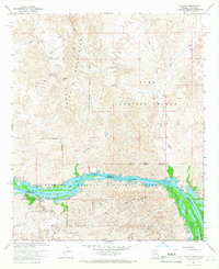 1964 Picacho1966 Print · USGSThe Colorado River border and Trigo Mountains are mapped here in the mid-1960s, showing a landscape defined by mining and wildlife conservation. Researchers can locate remote desert workings like the Black Rock Mine or the historical Picacho Mill (Ruins).3 unique versions available
 - 1965 Map of Salton Sea
 1965 Salton Sea1965 Print · USGSThe Colorado Desert and Imperial Valley are caught in a period of intense irrigation and military expansion during the mid-sixties. Researchers can trace the desert's industrial footprint through the Eagle Mountain Mine, the remote Desert Center, and the Salton Sea Test Base.
 - 1986 Map of Trigo Mts
 1986 Trigo Mts1986 Print · USGSThe Colorado River corridor is captured here in the mid-eighties as it winds between Arizona and California. Researchers can trace decades of desert enterprise through locations like Paymaster Mine, the Cibola National Wildlife Refuge, and Walters Camp.2 unique versions available
 - 2012 Map of Picacho, 2012 Print
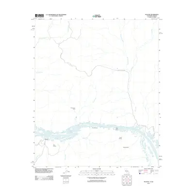 2012 Picacho2012 Print · USGSThe Colorado River borderlands come into focus in 2012, showing the desert terrain between Imperial County and the Arizona state line. Researchers can trace the winding river through Cane Break Canyon and locate local landmarks like the Red Cloud Mine and Island Lake.
 - 2015 Map of Picacho, 2015 Print
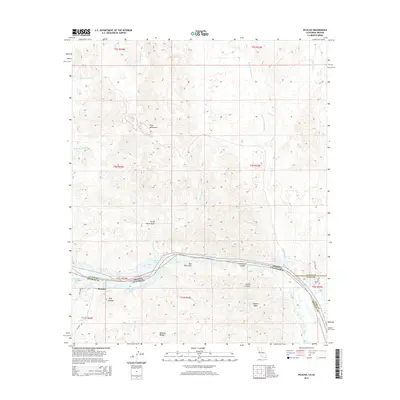 2015 Picacho2015 Print · USGSThe Colorado River borderlands come into focus in the mid-2010s, showing a landscape shaped by river meanders and desert mountains. Researchers can locate the settlement of Picacho, the Whitley Bridge crossing, and numerous backwater features like Island Lake and Red Rock Lake.
 - 2018 Map of Picacho, 2018 Print
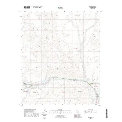 2018 Picacho2018 Print · USGSThe Colorado River desert border comes to life in the late 2010s, showing the intersection of Imperial County and Arizona. Researchers can trace historical routes like the Stamp Mill Trail and locate riverside landmarks such as Island Lake and Picacho.
 - 2021 Map of Picacho, 2021 Print
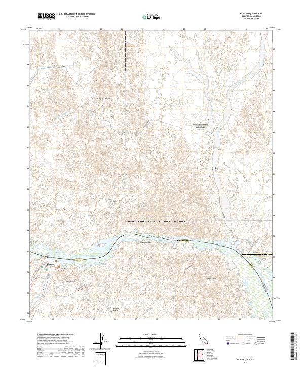 2021 Picacho2021 Print · USGSThe California-Arizona borderlands along the Colorado River appear here in their modern form, where desert mining history meets river recreation. Metal detectorists and local historians can trace the Red Cloud Mine and backcountry routes like Ice Cream Trl or the river crossing at Whitley Bridge.
End of results
Showing maps 1-15 of 15
Top cities near Picacho
Frequently asked questions
- What are the different types of historical maps available for Picacho?
- What is the oldest map of Picacho?
- Where can I purchase historical maps of Picacho for my home or office?
- Where can I download high-res historical maps of Picacho?
- Are there historical topographic maps available for Picacho?
- Is there historical aerial imagery available for Picacho?
- Where are historical maps of Picacho sourced from?