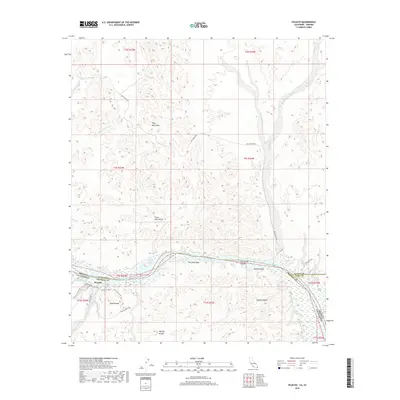
2018 Map of Picacho
USGS Topo · Published 2018About this map
The Colorado River defines the border between California and Arizona in this arid landscape dominated by the southern reaches of the Trigo Mountains. The river corridor features several riparian landmarks including Island Lake, Clear Lake, and the expansive Sleepers Bend. Along the California bank, the settlement of Picacho serves as a focal point for a network of desert routes and historical paths such as the Stamp Mill Trail and the curiously named Ice Cream Trail.
Find a feature on this map
38 named features on this map. Tap any name to fly to it.
Don’t see what you’re looking for? This feature index may not catch every label — zoom into the map to look around manually.
Map Details
Editions of this 2018 Picacho Map
This is the sole edition of this map. No revisions or reprints were ever made.
Other maps of this area
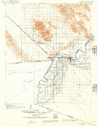
1903 · Yuma
USGS Topo · 1:125,000
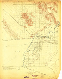
1905 · Yuma
USGS Topo · 1:125,000
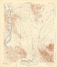
1929 · Laguna
USGS Topo · 1:62,500
1939 · Red Hill
USGS Topo · 1:62,500
1942 · Yuma
USGS Topo · 1:250,000
1942 · Blythe
USGS Topo · 1:250,000
1943 · Laguna
USGS Topo · 1:62,500
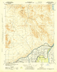
1945 · Picacho Peak
USGS Topo · 1:62,500
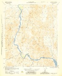
1945 · Picacho
USGS Topo · 1:62,500
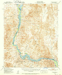
1951 · Picacho
USGS Topo · 1:62,500