Old Maps of Lone Pine, California for Hiking & Exploration
Hike through history with 26 historic maps of Lone Pine. Explore old trails, ghost towns, and forgotten backroads — perfect for outdoor adventurers and local explorers.
- Rediscover forgotten places: Map out old mining camps, roads, and footpaths that no longer exist on modern maps.
- Layer with modern tools: Combine with LiDAR or satellite views to plan hikes through historical terrain.
- Made for exploration: Popular among hikers, overlanders, and local history lovers.
Use these maps to find adventure and explore the hidden past of Lone Pine.
Lone Pine, CA maps
(26)- 1907 Map of Mt. Whitney
 1907 Mt. Whitney1907 Print · USGSThe Owens Valley and Sierra high country come alive in this early survey of the Inyo and Tulare border. Genealogists can trace the early layout of Independence and Lone Pine or locate sites like the Bluebell Mine and Old Camp Independence.10 unique versions available
 - 1919 Map of Mt. Whitney
 1919 Mt. Whitney1919 Print · USGSOwens Valley life and the High Sierra peaks are captured here in the years following the railroad's arrival. Genealogists and historians can trace early settlements and transit routes, from the streets of Independence to the Bluebell Mine and the grounds of Old Camp Independence.
 - 1937 Map of Mt. Whitney, 1954 Print
 1937 Mt. Whitney1954 Print · USGSThe Owens Valley and the High Sierra meet in the late 1930s, showing the early infrastructure of Independence and Lone Pine. Genealogists and historians can trace the Southern Pacific System railroad, the location of Manzanar, and remote sites like Old Camp Independence.3 unique versions available
 - 1948 Map of Fresno
 1948 Fresno1948 Print · USGSThe San Joaquin Valley and the High Sierra met during a period of rapid post-war growth and industrial expansion. Genealogists and researchers can trace family lines through small rail towns like Calwa City, find early aviation sites at Fresno-Chandler, or locate the Fresno Copper Mine.
 - 1955 Map of Fresno
 1955 Fresno1955 Print · USGSThe Central Valley and High Sierra meet in this mid-fifties study of California’s agricultural and wilderness heart. Researchers can trace the rail-side growth of Sanger, Selma, and Reedley or locate high-altitude landmarks like Mt Whitney and Hume Lake.
 - 1956 Map of Fresno
 1956 Fresno1956 Print · USGSThe Central Valley and High Sierra meet in this mid-fifties survey of a rapidly developing California interior. Researchers can trace the rail-and-water networks of Visalia, the footprint of Tulare Lake, and the remote heights of Sequoia National Park.
 - 1958 Map of Fresno
 1958 Fresno1958 Print · USGSThe Central Valley and High Sierra meet in this mid-century survey of the California heartland. Researchers can trace the rail-and-road network connecting Fresno and Visalia or locate high-country landmarks like Mt Whitney and Sequoia National Park.
 - 1958 Map of Lone Pine, 1960 Print
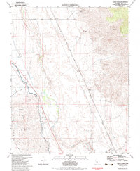
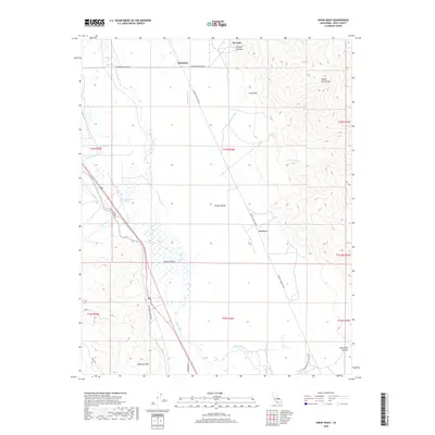
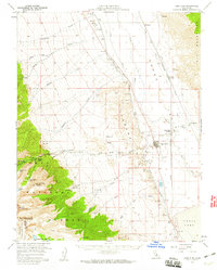 1958 Lone Pine1960 Print · USGSOwens Valley in the late fifties is a corridor of industrial water management and alpine access. Trace the route of the Los Angeles Aqueduct past Manzanar or locate the film history of Movie Flat beneath the peaks of Mt Whitney.4 unique versions available
 - 1960 Map of Fresno
 1960 Fresno1960 Print · USGSThe San Joaquin Valley's mid-century agricultural boom meets the high peaks of the Sierra Nevada in this detailed survey. Genealogists and historians can trace the rail-driven growth of Fresno, Tulare, and Visalia or locate family roots in smaller towns like Raisin City and Calwa City.2 unique versions available
 - 1962 Map of Fresno, 1968 Print
 1962 Fresno1968 Print · USGSThe Central Valley and High Sierra meet in this mid-century survey, capturing the region's massive irrigation systems and mountain wilderness. Researchers can trace the rail corridors of the Southern Pacific and locate landmarks like the Tulare Lake Bed and Mount Whitney.3 unique versions available
 - 1966 Map of Fresno
 1966 Fresno1966 Print · USGSCentral California in the mid-1960s showcases a high-production agricultural valley rising into the granite peaks of the High Sierra. Researchers can trace irrigation networks, rail spurs like the Southern Pacific, and landmarks from Mount Whitney to the Lemoore Naval Air Station.
 - 1975 Map of Lone Pine NE, 1979 Print
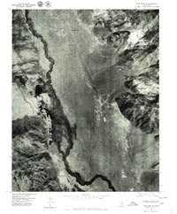 1975 Lone Pine NE1979 Print · USGSOwens Valley comes into sharp focus during the mid-seventies, showing the intersection of natural waterways and major infrastructure. Researchers can trace the layout of Manzanar, the course of the Owens River, and the path of the Los Angeles Aqueduct.
 - 1975 Map of Lone Pine SE, 1979 Print
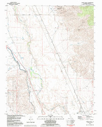
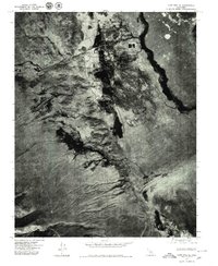 1975 Lone Pine SE1979 Print · USGSThe Owens Valley landscape and the settlement of Lone Pine are captured in this mid-seventies aerial survey. Researchers can trace the path of the Los Angeles Aqueduct and the stark expanse of the Owens Lake bed.2 unique versions available
 - 1978 Map of Mount Whitney, 1992 Print
 1978 Mount Whitney1992 Print · USGSThe high Sierra and Owens Valley meet in the late 1970s, showcasing the transition from alpine wilderness to valley floor settlements. Trace historical mining operations like the Green Monster Mine or find early routes to the summit near Whitney Portal.
 - 1982 Map of Union Wash, 1983 Print
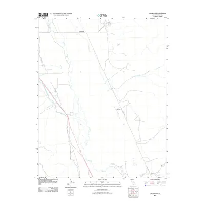
 1982 Union Wash1983 Print · USGSInyo County's high desert landscape shows the remnants of a busy rail-and-mining corridor in the early 1980s. Historians and researchers can trace the Old Owenyo Railroad Grade through the valley or locate the historic Reward Mine and Owenyo settlement.
 - 1982 Map of Lone Pine, 1983 Print
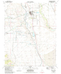 1982 Lone Pine1983 Print · USGSThe community of Lone Pine is captured in the early 1980s, where the high Sierra meets the Owens Valley. Researchers can trace the Southern Pacific rail line and locate ancestral sites like Mt Whitney Cem or the Lone Pine Indian Reservation.2 unique versions available
 - 1993 Map of Union Wash, 1995 Print
 1993 Union Wash1995 Print · USGSThe Owens Valley in the early 1990s reflects a landscape defined by water engineering and mining history. Trace the Los Angeles Aqueduct and the Old Railroad Grade past Owenyo and the Reward Mine.
 - 1994 Map of Lone Pine, 1997 Print
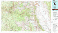
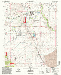 1994 Lone Pine1997 Print · USGSLone Pine in the mid-1990s stands at the intersection of Sierra Nevada recreation and the complex water history of the Owens Valley. Trace the lineage of the town through the Old Lone Pine Cem, the Lone Pine Indian Reservation, and the path of the Los Angeles Aqueduct.
 - 2012 Map of Union Wash, 2012 Print
 2012 Union Wash2012 Print · USGSCovers Lone Pine, including Manzanar, Reward, and other nearby areas
 - 2012 Map of Lone Pine, 2012 Print
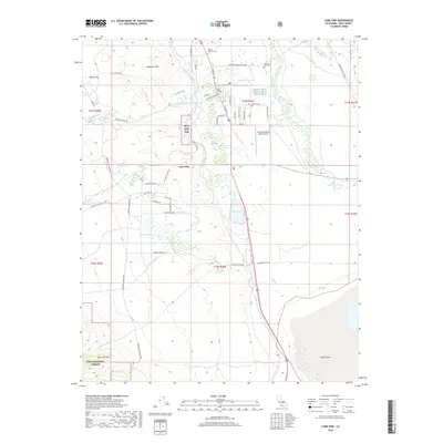
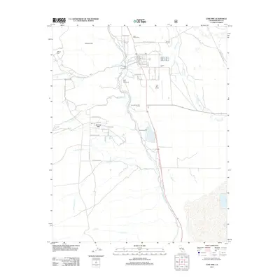 2012 Lone Pine2012 Print · USGSCovers Lone Pine, including Boulder Creek, Alabama Hills, and other nearby areas
 - 2015 Map of Union Wash, 2015 Print
 2015 Union Wash2015 Print · USGSCovers Lone Pine, including Manzanar, Reward, and other nearby areas
 - 2015 Map of Lone Pine, 2015 Print
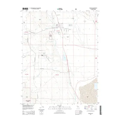 2015 Lone Pine2015 Print · USGSCovers Lone Pine, including Boulder Creek, Alabama Hills, and other nearby areas
 - 2018 Map of Union Wash, 2018 Print
 2018 Union Wash2018 Print · USGSCovers Lone Pine, including Manzanar, Reward, and other nearby areas
 - 2018 Map of Lone Pine, 2018 Print
 2018 Lone Pine2018 Print · USGSCovers Lone Pine, including Boulder Creek, Alabama Hills, and other nearby areas
 - 2021 Map of Union Wash, 2021 Print
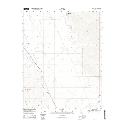
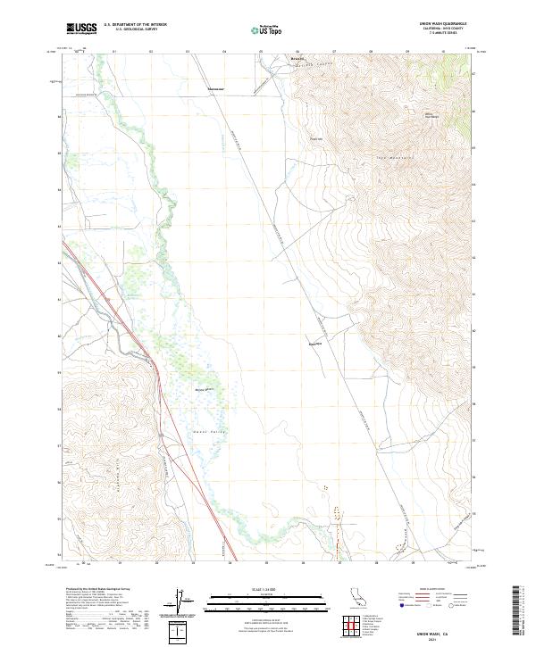 2021 Union Wash2021 Print · USGSThe Owens Valley high desert is captured here in the early twenty-first century, showing the legacy of water engineering and mountain transit. Researchers can trace the path of the Los Angeles Aqueduct and locate the historic sites of Manzanar and Owenyo.
Showing maps 1-25 of 26
Top cities near Lone Pine
Top neighborhoods of Lone Pine
Frequently asked questions
- What are the different types of historical maps available for Lone Pine?
- What is the oldest map of Lone Pine?
- Where can I purchase historical maps of Lone Pine for my home or office?
- Where can I download high-res historical maps of Lone Pine?
- Are there historical topographic maps available for Lone Pine?
- Is there historical aerial imagery available for Lone Pine?
- Where are historical maps of Lone Pine sourced from?