Old Maps of Seven Pines, California for Academic Research
Study the evolution of Seven Pines with 19 high-resolution historic maps. Whether you're teaching, researching, or modeling changes in land use, these maps provide essential visual documentation of urban, environmental, and geographic change.
- Analyze long-term change: Track patterns in development, transportation, and natural features.
- Ideal for environmental or urban studies: Support academic projects with primary historical map data.
- Use in the classroom or lab: Educators and researchers rely on these maps to bring historical context to life.
These maps are a powerful tool for teaching, research, and visualizing how Seven Pines has changed over the decades.
Seven Pines, CA maps
(19)- 1907 Map of Mt. Whitney
 1907 Mt. Whitney1907 Print · USGSThe Owens Valley and Sierra high country come alive in this early survey of the Inyo and Tulare border. Genealogists can trace the early layout of Independence and Lone Pine or locate sites like the Bluebell Mine and Old Camp Independence.10 unique versions available
 - 1919 Map of Mt. Whitney
 1919 Mt. Whitney1919 Print · USGSOwens Valley life and the High Sierra peaks are captured here in the years following the railroad's arrival. Genealogists and historians can trace early settlements and transit routes, from the streets of Independence to the Bluebell Mine and the grounds of Old Camp Independence.
 - 1937 Map of Mt. Whitney, 1954 Print
 1937 Mt. Whitney1954 Print · USGSThe Owens Valley and the High Sierra meet in the late 1930s, showing the early infrastructure of Independence and Lone Pine. Genealogists and historians can trace the Southern Pacific System railroad, the location of Manzanar, and remote sites like Old Camp Independence.3 unique versions available
 - 1948 Map of Fresno
 1948 Fresno1948 Print · USGSThe San Joaquin Valley and the High Sierra met during a period of rapid post-war growth and industrial expansion. Genealogists and researchers can trace family lines through small rail towns like Calwa City, find early aviation sites at Fresno-Chandler, or locate the Fresno Copper Mine.
 - 1953 Map of Mt. Pinchot, 1954 Print
 1953 Mt. Pinchot1954 Print · USGSThe High Sierra and Owens Valley meet in the early fifties, showing a landscape of alpine trails and mining claims. Trace the John Muir Trail past the Kearsarge Pinnacles or locate the historic Rex Montis Mine and the Division Creek Powerhouse.6 unique versions available
 - 1955 Map of Fresno
 1955 Fresno1955 Print · USGSThe Central Valley and High Sierra meet in this mid-fifties study of California’s agricultural and wilderness heart. Researchers can trace the rail-side growth of Sanger, Selma, and Reedley or locate high-altitude landmarks like Mt Whitney and Hume Lake.
 - 1956 Map of Fresno
 1956 Fresno1956 Print · USGSThe Central Valley and High Sierra meet in this mid-fifties survey of a rapidly developing California interior. Researchers can trace the rail-and-water networks of Visalia, the footprint of Tulare Lake, and the remote heights of Sequoia National Park.
 - 1958 Map of Fresno
 1958 Fresno1958 Print · USGSThe Central Valley and High Sierra meet in this mid-century survey of the California heartland. Researchers can trace the rail-and-road network connecting Fresno and Visalia or locate high-country landmarks like Mt Whitney and Sequoia National Park.
 - 1960 Map of Fresno
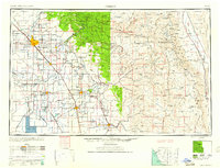 1960 Fresno1960 Print · USGSThe San Joaquin Valley's mid-century agricultural boom meets the high peaks of the Sierra Nevada in this detailed survey. Genealogists and historians can trace the rail-driven growth of Fresno, Tulare, and Visalia or locate family roots in smaller towns like Raisin City and Calwa City.2 unique versions available
 - 1962 Map of Fresno, 1968 Print
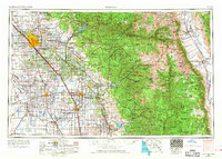 1962 Fresno1968 Print · USGSThe Central Valley and High Sierra meet in this mid-century survey, capturing the region's massive irrigation systems and mountain wilderness. Researchers can trace the rail corridors of the Southern Pacific and locate landmarks like the Tulare Lake Bed and Mount Whitney.3 unique versions available
 - 1966 Map of Fresno
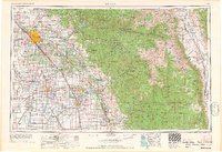 1966 Fresno1966 Print · USGSCentral California in the mid-1960s showcases a high-production agricultural valley rising into the granite peaks of the High Sierra. Researchers can trace irrigation networks, rail spurs like the Southern Pacific, and landmarks from Mount Whitney to the Lemoore Naval Air Station.
 - 1978 Map of Mount Whitney, 1992 Print
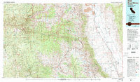 1978 Mount Whitney1992 Print · USGSThe high Sierra and Owens Valley meet in the late 1970s, showcasing the transition from alpine wilderness to valley floor settlements. Trace historical mining operations like the Green Monster Mine or find early routes to the summit near Whitney Portal.
 - 1985 Map of Kearsarge Peak
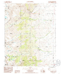 1985 Kearsarge Peak1985 Print · USGSThe eastern Sierra Nevada high country comes alive in this mid-eighties survey of Inyo County. Hikers and historians can trace the paths of the John Muir Trail past Sardine Lake or locate old water sources like Boron Springs and McGann Springs.
 - 1992 Map of Kearsarge Peak, 1994 Print
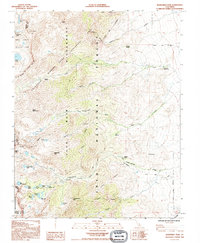 1992 Kearsarge Peak1994 Print · USGSThe Sierra Nevada high country appears in detail during the early nineties, showing the remote peaks and protected habitats of the Inyo National Forest. Trace trails to Onion Valley or explore landmarks like Seven Pines and Mount Baxter.
 - 1994 Map of Kearsarge Peak, 1997 Print
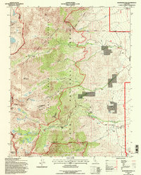 1994 Kearsarge Peak1997 Print · USGSThe eastern Sierra high country comes into focus in the mid-1990s as it transitions from historic mining to wilderness conservation. Trace the trails past Seven Pines to reach remote alpine landmarks like Kearsarge Peak and Matlock Lake.
 - 2012 Map of Kearsarge Peak, 2012 Print
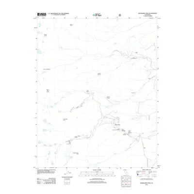 2012 Kearsarge Peak2012 Print · USGSInyo County's high Sierra landscape is documented here just after the turn of the millennium, showing the networks of trails and camps near the eastern escarpment. Researchers can trace historic access points like Onion Valley or locate family properties at Seven Pines and Parker Ranch.
 - 2015 Map of Kearsarge Peak, 2015 Print
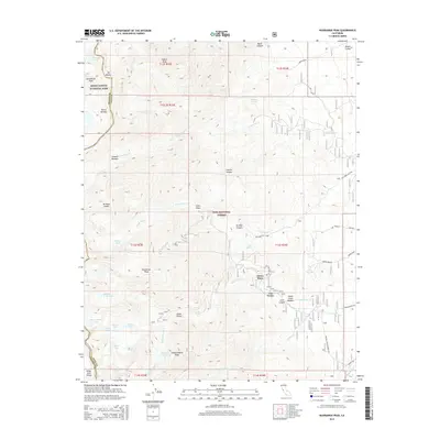 2015 Kearsarge Peak2015 Print · USGSThe eastern Sierra Nevada high country is captured here during the mid-2010s, showing the intersection of national park and forest lands. Hikers and historians can trace the steep routes from Onion Valley and Seven Pines past numerous alpine waters like Sardine Lake and Parker Lakes.
 - 2018 Map of Kearsarge Peak, 2018 Print
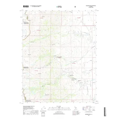 2018 Kearsarge Peak2018 Print · USGSHigh in the Sierra Nevada during the late twenty-teens, this terrain shows the steep eastern escarpment leading into the backcountry. Researchers can trace trails through Onion Valley, locate the small settlement at Seven Pines, and identify alpine landmarks like Sardine Lake and Mt Baxter.
 - 2021 Map of Kearsarge Peak, 2021 Print
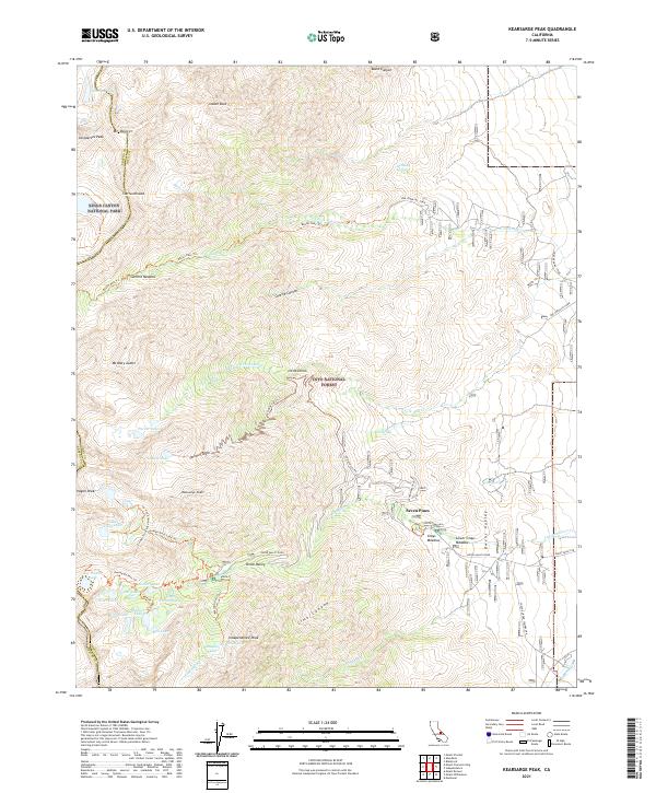 2021 Kearsarge Peak2021 Print · USGSThe eastern Sierra Nevada high country comes into focus in this recent survey of the Inyo and Kings Canyon borderlands. Hikers and historians can trace the paths of the Kearsarge Pass Trl past alpine waters like Golden Trout Lake and the small enclave at Seven Pines.
End of results
Showing maps 1-19 of 19
Top cities near Seven Pines
Frequently asked questions
- What are the different types of historical maps available for Seven Pines?
- What is the oldest map of Seven Pines?
- Where can I purchase historical maps of Seven Pines for my home or office?
- Where can I download high-res historical maps of Seven Pines?
- Are there historical topographic maps available for Seven Pines?
- Is there historical aerial imagery available for Seven Pines?
- Where are historical maps of Seven Pines sourced from?