Old Maps of Lokern, California for Metal Detecting
Plan your next treasure hunt with 16 historic maps of Lokern. Find old homesites, ghost towns, trails, and gathering spots that may be lost to time — perfect for identifying promising metal detecting locations.
- Locate forgotten sites: Uncover places like long-lost settlements, abandoned rail lines, or gathering spots.
- Plan better hunts: Use map overlays combined with LiDAR or satellite views to narrow in on historically rich areas.
- Made for detectorists: Thousands of hobbyists use these maps to discover relics, coins, and hidden history.
Use these historic maps to boost your research and find new opportunities beneath the surface of Lokern.
Lokern, CA maps
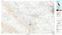
(16)- 1912 Map of McKittrick
 1912 McKittrick1912 Print · USGSKern and San Luis Obispo counties are shown here just as the early oil boom and cattle ranching were shaping the desert landscape. Researchers can trace the original Pacific Southern rail lines and find legacy ranch sites like Sandiego Joe's and Temblor Ranch.4 unique versions available
 - 1931 Map of Lokern
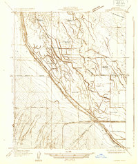 1931 Lokern1931 Print · USGSKern County's agricultural and industrial plumbing is laid bare in the early 1930s, showing a landscape defined by massive irrigation and rail projects. You can trace the path of the Southern Pacific through the crossroads at Lokern or locate multiple Indian Burial Mounds along the Buena Vista Slough.
 - 1934 Map of Lokern
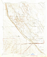 1934 Lokern1934 Print · USGSThe San Joaquin Valley landscape near Lokern was a maze of irrigation and ancient sites in the 1930s. Genealogists and historians can trace the intersection of the Southern Pacific railroad and the Buena Vista Slough near several Indian Burial Mounds.2 unique versions available
 - 1948 Map of Bakersfield
 1948 Bakersfield1948 Print · USGSBakersfield and the southern San Joaquin Valley appear in the late 1940s, showing a landscape of burgeoning oil towns, rail junctions, and early irrigation canals. Genealogists and historians can trace the foundations of local industry through Gardner Field, the Sunset Railway, and the shores of Buena Vista Lake.2 unique versions available
 - 1950 Map of Lokern
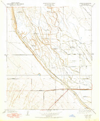 1950 Lokern1950 Print · USGSThe San Joaquin Valley landscape around Lokern appears here at mid-century, defined by indigenous history and a sprawling irrigation network. Genealogists and historians can trace the Southern Pacific rail lines and numerous Indian Burial Mounds along the Buena Vista Slough.
 - 1954 Map of Lokern, 1957 Print
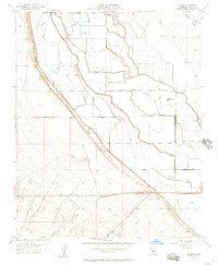 1954 Lokern1957 Print · USGSThe San Joaquin Valley landscape comes into focus in the mid-1950s, showing a high-tech network of irrigation and industrial transit. Researchers can trace the development of agricultural infrastructure along the Southern Pacific rail line and locate the Lokern Pumping Sta and Corn Camp.3 unique versions available
 - 1955 Map of Bakersfield
 1955 Bakersfield1955 Print · USGSThe southern San Joaquin Valley in the mid-fifties shows an era of massive oil production and industrial irrigation. Trace family roots in Allensworth, the oil fields of Oildale, or the shorelines of Tulare Lake and Buena Vista Lake.
 - 1956 Map of Bakersfield
 1956 Bakersfield1956 Print · USGSThe southern San Joaquin Valley and High Sierra come alive in the mid-fifties, showing the region's complex agricultural and rail networks. Genealogists and historians can trace family roots in towns like Bakersfield, Taft, and Delano, or locate early infrastructure along the Sunset Railway.
 - 1960 Map of Bakersfield
 1960 Bakersfield1960 Print · USGSThe Southern San Joaquin Valley at mid-century reveals a complex landscape of petroleum development and massive irrigation projects. Researchers can trace the rail lines of the Southern Pacific, explore oil-era landmarks like Oil City, and locate early settlements including Allensworth and Pixley.2 unique versions available
 - 1962 Map of Bakersfield, 1969 Print
 1962 Bakersfield1969 Print · USGSThe Southern San Joaquin Valley is shown in the 1960s as a bustling intersection of petroleum production, irrigation agriculture, and mountain recreation. Researchers can trace the rail lines of the Southern Pacific through the valley or locate early desert developments like California City and Tehachapi.4 unique versions available
 - 1966 Map of Bakersfield
 1966 Bakersfield1966 Print · USGSThe southern San Joaquin Valley in the mid-sixties reveals a massive industrial and agricultural landscape shaped by water and oil. Genealogists and historians can trace the growth of Bakersfield and Oildale, or locate remote airfields like Minter Field and Mojave-Kern County No. 7 Airport.
 - 1981 Map of Taft, 1982 Print
 1981 Taft1982 Print · USGSKern County's oil country and the high desert of the San Luis Obispo border come into focus during the early eighties. Researchers can trace the industrial landscape of Naval Petroleum Reserve No 1 alongside settlements like Taft, McKittrick, and the San Andreas Rift Zone.2 unique versions available
 - 2012 Map of Lokern, 2012 Print
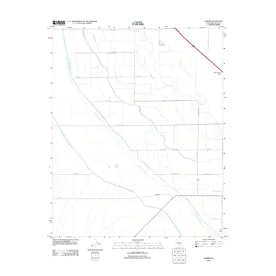 2012 Lokern2012 Print · USGSCovers Lokern, including Corn Camp, Kern County, and other nearby areas
 - 2015 Map of Lokern, 2015 Print
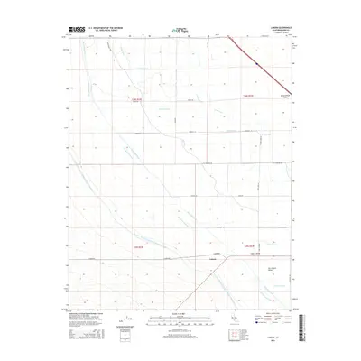 2015 Lokern2015 Print · USGSCovers Lokern, including Corn Camp, Kern County, and other nearby areas
 - 2018 Map of Lokern, 2018 Print
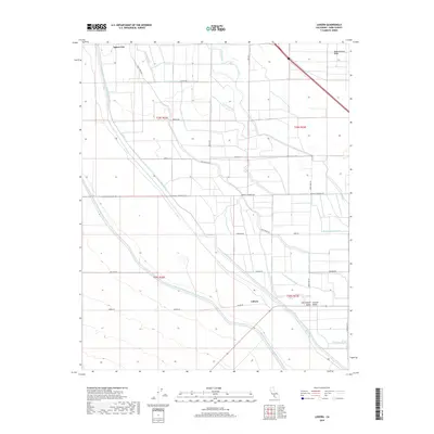 2018 Lokern2018 Print · USGSCovers Lokern, including Corn Camp, Kern County, and other nearby areas
 - 2021 Map of Lokern, 2021 Print
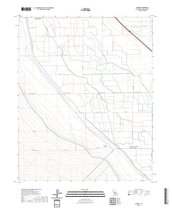 2021 Lokern2021 Print · USGSThe western San Joaquin Valley is shown here in the early twenty-first century, dominated by a massive network of irrigation and transit. Trace the paths of the California Aqueduct and landmarks like Buttonwillow Ridge and Spicer City.
End of results
Showing maps 1-16 of 16
Top cities near Lokern
Frequently asked questions
- What are the different types of historical maps available for Lokern?
- What is the oldest map of Lokern?
- Where can I purchase historical maps of Lokern for my home or office?
- Where can I download high-res historical maps of Lokern?
- Are there historical topographic maps available for Lokern?
- Is there historical aerial imagery available for Lokern?
- Where are historical maps of Lokern sourced from?