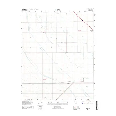
2015 Map of Lokern
USGS Topo · Published 2015About this map
The Governor Edmund G Brown California Aqueduct and the Kern River Flood Canal dominate this portion of the San Joaquin Valley, illustrating the complex water management infrastructure essential to Kern County agriculture. Near the small settlement of Lokern, a dense network of irrigation and drainage channels including the West Side Canal, Belridge Ditch, and Main Drain cross the landscape. This grid-based system of ditches like the Corn Camp Ditch and School House Ditch reflects the area's intensive land use for large-scale farming. Elevation changes are subtle across the valley floor, with the most notable rise occurring at Buttonwillow Ridge to the northeast. Local transit is defined by long, straight thoroughfares such as 7th Standard Rd and Lokern Rd, which provide access to remote agricultural plots and the central valley interior.
Find a feature on this map
33 named features on this map. Tap any name to fly to it.
Don’t see what you’re looking for? This feature index may not catch every label — zoom into the map to look around manually.
Map Details
Editions of this 2015 Lokern Map
This is the sole edition of this map. No revisions or reprints were ever made.
Other maps of this area

1910 · Buena Vista Lake
USGS Topo · 1:125,000

1912 · McKittrick
USGS Topo · 1:125,000

1912 · Buena Vista Lake
USGS Topo · 1:125,000

1914 · Lost Hills
USGS Topo · 1:125,000

1927 · Semitropic
USGS Topo · 1:31,680

1930 · Leonards
USGS Topo · 1:31,680

1931 · Lokern
USGS Topo · 1:31,680

1931 · Goose Lake
USGS Topo · 1:31,680

1932 · West Elk Hills
USGS Topo · 1:31,680

1932 · East Elk Hills
USGS Topo · 1:31,680