Old Maps of Pole Garden, California for Academic Research
Study the evolution of Pole Garden with 13 high-resolution historic maps. Whether you're teaching, researching, or modeling changes in land use, these maps provide essential visual documentation of urban, environmental, and geographic change.
- Analyze long-term change: Track patterns in development, transportation, and natural features.
- Ideal for environmental or urban studies: Support academic projects with primary historical map data.
- Use in the classroom or lab: Educators and researchers rely on these maps to bring historical context to life.
These maps are a powerful tool for teaching, research, and visualizing how Pole Garden has changed over the decades.
Pole Garden, CA maps
(13)- 1924 Map of Bartlett Springs
 1924 Bartlett Springs1924 Print · USGSNorthern Lake County mineral springs and canyons are captured here in the years following the Great War. Genealogists and historians can trace the early resort era at Bartlett Springs, Allen Springs, and the waters of Clear Lake.
 - 1942 Map of Bartlett Springs
 1942 Bartlett Springs1942 Print · USGSLake County and the rugged North Coast Ranges are captured here in the early 1940s, balancing resort springs with hardscrabble ranching. Genealogists can locate family landmarks like Garner Ranch, the East Lake Sch, and the isolated Bartlett Springs resort.
 - 1944 Map of Bartlett Springs
 1944 Bartlett Springs1944 Print · USGSLake County at the height of the war years reveals a landscape of isolated springs and family-run ranches nestled along the high ridges. Researchers can trace historic homesteads like the Garner Ranch, the site of Bartlett Springs, and the East Lake Sch near the Clear Lake shoreline.2 unique versions available
 - 1957 Map of Ukiah, 1966 Print
 1957 Ukiah1966 Print · USGSNorthern California's diverse terrain comes into focus in the mid-1950s, from the rugged timberlands of the Jackson State Forest to the productive Sacramento Valley. Genealogists and historians can trace the rail lines of the Northwestern Pacific or locate early valley settlements like Arbuckle and Paskenta.3 unique versions available
 - 1960 Map of Ukiah
 1960 Ukiah1960 Print · USGSNorthern California during the late fifties reveals a landscape of deep timber forests and valley agriculture before modern expansion. Trace the historic rail lines of the California Western RR and the Northwestern Pacific RR through settlements like Fort Bragg and Ukiah.2 unique versions available
 - 1960 Map of Clearlake Oaks, 1962 Print
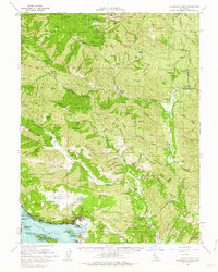 1960 Clearlake Oaks1962 Print · USGSThe eastern shores of Clear Lake and the deep canyons of the Mendocino National Forest are captured here in the early sixties. Researchers can trace the layout of Sulphur Bank Rancheria or locate historic mineral sites like Bartlett Springs and Hough Springs.2 unique versions available
 - 1989 Map of Bartlett Springs
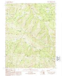 1989 Bartlett Springs1989 Print · USGSLake and Colusa Counties appear in the late eighties as a network of high-country springs and forest camps. Trace family-named landmarks and remote sites like Bartlett Springs, Wyman Flat, and the Reister Bridge along the creek forks.3 unique versions available
 - 1994 Map of Lakeport
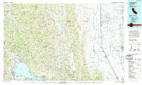 1994 Lakeport1994 Print · USGSCoastal mountains meet the fertile Sacramento Valley in the 1990s, where the waters of Clear Lake define the western landscape. Researchers can trace the industrial footprint of the Sulphur Bank Mine, follow the Southern Pacific RR tracks, or locate old settlements like Fouts Springs and Lodoga.
 - 1996 Map of Bartlett Springs, 2001 Print
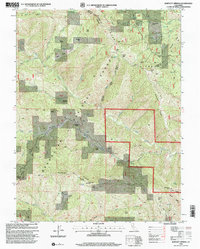 1996 Bartlett Springs2001 Print · USGSLake County's high ridges and mineral springs are documented in the late twentieth century as they appeared within the Mendocino National Forest. Researchers can locate old mountain settlements and remote landmarks like Bartlett Springs, Newman Springs, and the Bartlett Cemetery.
 - 2012 Map of Bartlett Springs, 2012 Print
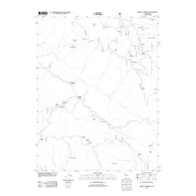 2012 Bartlett Springs2012 Print · USGSLake County's high ridges and thermal waters are documented in this early twenty-first-century survey of the Mendocino National Forest. Researchers can trace the geography of old homesteads and landmarks like Love Lady Ranch, Bartlett Springs, and Reister Bridge.
 - 2015 Map of Bartlett Springs, 2015 Print
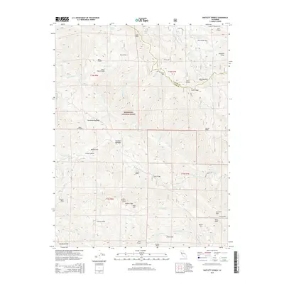 2015 Bartlett Springs2015 Print · USGSLake County highlands in the mid-2010s centered on the historic mineral water sites of the Mendocino National Forest. Researchers can trace the layout of Bartlett Springs, Newman Springs, and the remote Reister Bridge crossing.
 - 2018 Map of Bartlett Springs, 2018 Print
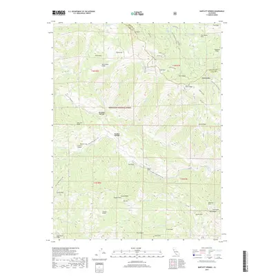 2018 Bartlett Springs2018 Print · USGSThe rugged mountains of Lake and Colusa Counties come to life in this recent topographic study of the Mendocino National Forest. Researchers can trace remote sites and water sources like Bartlett Springs, Newman Springs, and the high-altitude Wilson Camp.
 - 2022 Map of Bartlett Springs, 2022 Print
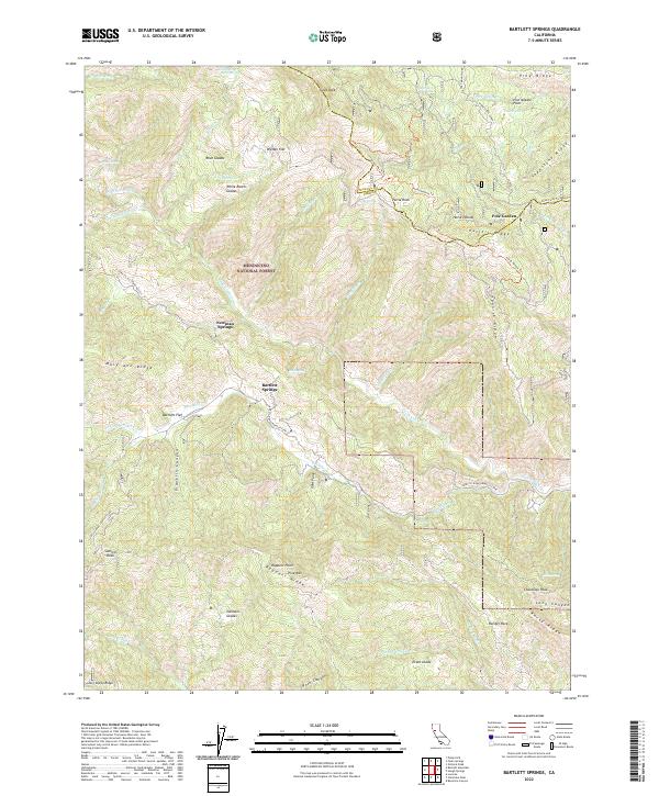 2022 Bartlett Springs2022 Print · USGSLake County's high ridges and mineral springs are documented in this recent survey of the Mendocino National Forest. Researchers can trace the layout of historic mountain retreats and clearings like Bartlett Springs, Allen Springs, and White Ranch Glades.
End of results
Showing maps 1-13 of 13
Top cities near Pole Garden
- Clearlake historical maps
- Lucerne historical maps
- Nice historical maps
- Clearlake Oaks historical maps
- Spring Valley historical maps
Frequently asked questions
- What are the different types of historical maps available for Pole Garden?
- What is the oldest map of Pole Garden?
- Where can I purchase historical maps of Pole Garden for my home or office?
- Where can I download high-res historical maps of Pole Garden?
- Are there historical topographic maps available for Pole Garden?
- Is there historical aerial imagery available for Pole Garden?
- Where are historical maps of Pole Garden sourced from?