Old Maps of Camp Williams, California for Genealogy
Trace your family roots with 22 historic maps of Camp Williams. These high-res maps reveal old neighborhoods, homesites, landmarks, and streets — helping you uncover where your ancestors lived and how the area evolved over time.
- Explore historic neighborhoods: Identify where your relatives may have lived in the 1800s or 1900s.
- Compare maps over time: Trace the changes in streets, buildings, and landmarks for multi-generational research.
- Perfect for genealogy & ancestry research: Used by family historians and researchers to map out lineage and migration.
These maps are an incredible resource for exploring your personal connection to Camp Williams's past.
Camp Williams, CA maps
(22)- 1894 Map of Pomona, 1960 Print
 1894 Pomona1960 Print · USGSThe eastern San Gabriel Valley is shown here in the 1890s, when the orchard economy and railroads were first reshaping the landscape. Genealogists and historians can trace early settlements and rail stops like Lordsburg, Alosta, and Rowland Siding.
 - 1897 Map of Pomona
 1897 Pomona1897 Print · USGSThe San Gabriel Valley is captured here in the late nineteenth century as a patchwork of citrus-growing colonies and emerging rail towns. Genealogists and historians can trace early property lines and settlements like Lordsburg, Alosta, and Spadra along the Covina Branch line.
 - 1898 Map of Pomona
 1898 Pomona1898 Print · USGSThe San Gabriel Valley is captured here during its late nineteenth-century rail boom, before the suburban expansion of the Los Angeles basin. Genealogists can trace the early streets of Pomona, Lordsburg, and San Dimas along the busy Southern Pacific Railroad.2 unique versions available
 - 1901 Map of Southern California Sheet No. 1
 1901 Southern California Sheet No. 11901 Print · USGSGreater Los Angeles at the dawn of the twentieth century is a landscape of growing citrus towns and a burgeoning rail network. Genealogists and historians can trace the early gridded streets of Hollywood and Pasadena or locate landmarks like Bear Lake and the Cahuilla Indian Reservation.6 unique versions available
 - 1904 Map of Pomona
 1904 Pomona1904 Print · USGSThe eastern San Gabriel Valley is shown here at the turn of the century as a burgeoning network of citrus towns and vital rail lines. Genealogists can trace early homesteads and vanished stops such as Lordsburg, Alosta, and the Rowland Siding along the Southern Pacific RR.7 unique versions available
 - 1904 Map of Southern California Sheet No. 1, 1905 Print
 1904 Southern California Sheet No. 11905 Print · USGSSouthern California at the dawn of the twentieth century shows a landscape of citrus groves and coastal towns connected by rail. Genealogists and historians can trace early settlements like San Juan Capistrano, find remote sites like the Rose Mine, and study the original water systems of the Santa Ana River.2 unique versions available
 - 1934 Map of Camp Bonita
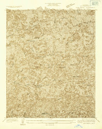 1934 Camp Bonita1934 Print · USGSThe San Gabriel Mountains in the mid-1930s reveal a high-country landscape of remote mining claims and early forest outposts. Researchers can trace historic operations at the Allison Mine and locate early settlements like Webers Camp or Thompsons Ranch.
 - 1940 Map of Camp Bonita
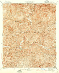 1940 Camp Bonita1940 Print · USGSThe San Gabriel Mountains in the 1930s reveal a landscape of mining, ranching, and early forest management. Trace the historic East Fork San Gabriel River to find sites like the Allison Mine, Thompson Ranch, and Camp Bonita.3 unique versions available
 - 1953 Map of San Bernardino
 1953 San Bernardino1953 Print · USGSSouthern California underwent massive post-war growth as suburban sprawl reached the foothills of the San Bernardino Mountains. Genealogists and historians can trace the rail-and-road roots of the Inland Empire through the Union Pacific RR and Lake Arrowhead resorts.2 unique versions available
 - 1953 Map of Glendora, 1955 Print
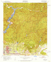 1953 Glendora1955 Print · USGSThe foothills of the San Gabriel Mountains meet the growing citrus-belt suburbs of Los Angeles County in the early fifties. Researchers can trace early school sites like Wilson Sch and the reach of the San Dimas Experimental Forest.3 unique versions available
 - 1956 Map of San Bernardino
 1956 San Bernardino1956 Print · USGSSouthern California's Inland Empire and High Desert come into focus in the mid-fifties as agriculture gives way to suburban and military growth. Trace early rail lines like the Pacific Electric or find remote landmarks like Camp Rock Mine and George AFB.
 - 1957 Map of San Bernardino
 1957 San Bernardino1957 Print · USGSSouthern California's Inland Empire and High Desert met during the postwar expansion of the late fifties. Genealogists and historians can trace the growth of San Bernardino and Redlands alongside remote landmarks like Edwards AFB and the Camp Rock Mine.
 - 1958 Map of San Bernardino, 1975 Print
 1958 San Bernardino1975 Print · USGSSouthern California’s Inland Empire and High Desert come into focus during the mid-century boom, showing the rise of suburbs and massive military installations. Researchers can trace the rail networks of the Union Pacific RR or locate landmarks like Norton AFB and Big Bear Lake.
 - 1959 Map of San Bernardino
 1959 San Bernardino1959 Print · USGSSouthern California underwent a massive transformation in the late fifties as suburban growth and military power reshaped the desert and valley. Researchers can trace the legacy of the Union Pacific Railroad and locate early footprints of Joshua Tree National Monument and Edwards Air Force Base.
 - 1966 Map of San Bernardino
 1966 San Bernardino1966 Print · USGSThe San Bernardino Valley and Mojave Desert met during a period of massive military and suburban growth in the mid-sixties. Genealogists and historians can trace the development of Edwards Air Force Base, old desert mines like the Bagdad Chase Mine, and mountain communities near Big Bear Lake.
 - 1966 Map of Glendora, 1968 Print
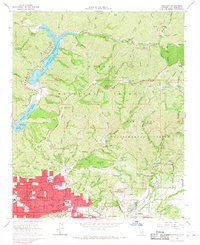 1966 Glendora1968 Print · USGSThe San Gabriel foothills transitioned from citrus groves to suburban sprawl in the mid-sixties. Researchers can trace the layout of Glendora, the path of the Atchison Topeka and Santa Fe rail line, and the US Naval Ordnance Testing Station on Morris Reservoir.2 unique versions available
 - 1982 Map of San Bernardino, 1983 Print
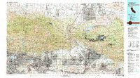 1982 San Bernardino1983 Print · USGSThe Inland Empire and San Gabriel Valley met at a peak of suburban and industrial expansion in the early eighties. Researchers can trace the massive rail infrastructure through Cajon Pass and locate landmarks like Norton Air Force Base or the Fontana International Raceway.
 - 1995 Map of Glendora, 1999 Print
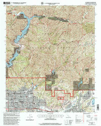 1995 Glendora1999 Print · USGSThe foothills of the San Gabriel Mountains meet suburban Los Angeles in the mid-nineties as development pushes toward the forest boundary. Genealogists and local historians can locate many neighborhood landmarks including Harding Academy, the Victoria Mine, and Big Dalton Dam.
 - 2012 Map of Glendora, 2012 Print
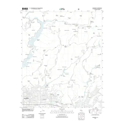 2012 Glendora2012 Print · USGSGlendora and the southern San Gabriel Mountains are captured here in the early twenty-first century, showing the interface between dense residential development and protected forest land. Researchers can trace the water infrastructure of Big Dalton Reservoir or locate recreation sites like Camp Bonita and the Sierra La Verne Golf Course.
 - 2015 Map of Glendora, 2015 Print
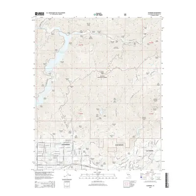 2015 Glendora2015 Print · USGSThe foothills of the San Gabriel Mountains meet the suburban expansion of Glendora and San Dimas in the mid-2010s. Researchers can trace the complex canyon systems of the Angeles National Forest and locate reservoirs like Morris Reservoir or the historic path of Route 66.
 - 2018 Map of Glendora, 2018 Print
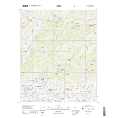 2018 Glendora2018 Print · USGSThe foothills of the San Gabriel Mountains meet the growing suburban reaches of eastern Los Angeles County in the late 2010s. Researchers can trace the complex canyon networks and water systems from the San Gabriel Reservoir down to Glendora and La Verne.
 - 2021 Map of Glendora, 2021 Print
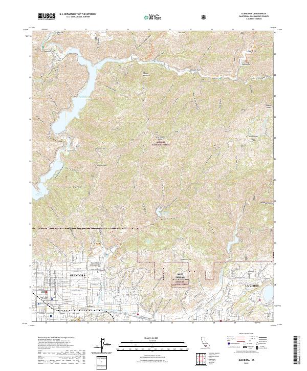 2021 Glendora2021 Print · USGSThe San Gabriel Valley's northern edge meets the mountain front in this contemporary survey of the foothills. Researchers can trace the wildland-urban interface from the San Gabriel Reservoir down to State Rte 66 and the San Dimas Wash.
End of results
Showing maps 1-22 of 22
Top cities near Camp Williams
- Ontario historical maps
- Rancho Cucamonga historical maps
- Pomona historical maps
- El Monte historical maps
- West Covina historical maps
- Whittier historical maps
See more
Frequently asked questions
- What are the different types of historical maps available for Camp Williams?
- What is the oldest map of Camp Williams?
- Where can I purchase historical maps of Camp Williams for my home or office?
- Where can I download high-res historical maps of Camp Williams?
- Are there historical topographic maps available for Camp Williams?
- Is there historical aerial imagery available for Camp Williams?
- Where are historical maps of Camp Williams sourced from?