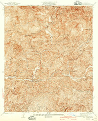
1940 Map of Camp Bonita
USGS Topo · Published 1940About this map
Angeles National Forest dominates this 1930s-era topographical study, revealing the steep canyons and early human developments along the East Fork San Gabriel River. The landscape is a network of fire management and early recreation, evidenced by numerous firebreaks and trails that crisscross the San Gabriel Mountains. Deep within these drainages, locations like Camp Bonita and the San Gabriel Guard Station serve as focal points for forest activity.
Find a feature on this map
39 named features on this map. Tap any name to fly to it.
Don’t see what you’re looking for? This feature index may not catch every label — zoom into the map to look around manually.
Map Details
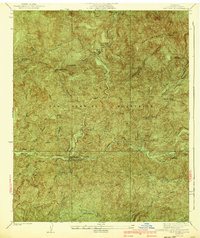
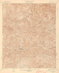
Editions of this 1940 Camp Bonita Map
3 editions found
Other maps of this area

1894 · Pomona
USGS Topo · 1:62,500

1897 · Pomona
USGS Topo · 1:62,500

1897 · Cucamonga
USGS Topo · 1:62,500

1898 · Pomona
USGS Topo · 1:62,500

1900 · Cucamonga
USGS Topo · 1:62,500

1901 · Southern California Sheet No. 1
USGS Topo · 1:250,000

1903 · Rock Creek
USGS Topo · 1:62,500

1903 · Cucamonga
USGS Topo · 1:62,500

1903 · San Antonio
USGS Topo · 1:62,500

1904 · Pomona
USGS Topo · 1:62,500