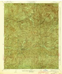
1940 Map of Camp Bonita
USGS Topo · Published 1940About this map
The Angeles National Forest dominates this 1940 survey, centering on the rugged confluence of the San Gabriel River and its varied forks. This map records the canyon culture of the era, where small settlements like Camp Bonita and Williams Camp served as mountain retreats and operational hubs. A network of fire protection is evident through the High Line Firebreak and the presence of the San Gabriel Guard Station, reflecting the intensive management of these high-altitude watersheds near the Los Angeles basin.
Find a feature on this map
45 named features on this map. Tap any name to fly to it.
Don’t see what you’re looking for? This feature index may not catch every label — zoom into the map to look around manually.
Map Details
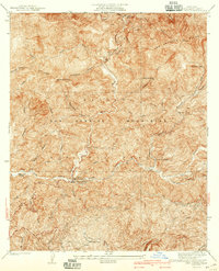
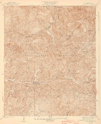
Editions of this 1940 Camp Bonita Map
3 editions found
Other maps of this area

1894 · Pomona
USGS Topo · 1:62,500

1897 · Pomona
USGS Topo · 1:62,500

1897 · Cucamonga
USGS Topo · 1:62,500

1898 · Pomona
USGS Topo · 1:62,500

1900 · Cucamonga
USGS Topo · 1:62,500

1901 · Southern California Sheet No. 1
USGS Topo · 1:250,000

1903 · Rock Creek
USGS Topo · 1:62,500

1903 · Cucamonga
USGS Topo · 1:62,500

1903 · San Antonio
USGS Topo · 1:62,500

1904 · Pomona
USGS Topo · 1:62,500