Old Maps of Chilao, California for Metal Detecting
Plan your next treasure hunt with 21 historic maps of Chilao. Find old homesites, ghost towns, trails, and gathering spots that may be lost to time — perfect for identifying promising metal detecting locations.
- Locate forgotten sites: Uncover places like long-lost settlements, abandoned rail lines, or gathering spots.
- Plan better hunts: Use map overlays combined with LiDAR or satellite views to narrow in on historically rich areas.
- Made for detectorists: Thousands of hobbyists use these maps to discover relics, coins, and hidden history.
Use these historic maps to boost your research and find new opportunities beneath the surface of Chilao.
Chilao, CA maps
(21)- 1900 Map of Tujunga
 1900 Tujunga1900 Print · USGSThe San Gabriel mountains in the late nineteenth century reveal a landscape of deep canyons and mining outposts. Trace early rail travel through Acton or locate the remote Monte Cristo Mines and Hoyt Ranch within the San Gabriel Timber Land Reserve.7 unique versions available
 - 1901 Map of Southern California Sheet No. 1
 1901 Southern California Sheet No. 11901 Print · USGSGreater Los Angeles at the dawn of the twentieth century is a landscape of growing citrus towns and a burgeoning rail network. Genealogists and historians can trace the early gridded streets of Hollywood and Pasadena or locate landmarks like Bear Lake and the Cahuilla Indian Reservation.6 unique versions available
 - 1904 Map of Southern California Sheet No. 1, 1905 Print
 1904 Southern California Sheet No. 11905 Print · USGSSouthern California at the dawn of the twentieth century shows a landscape of citrus groves and coastal towns connected by rail. Genealogists and historians can trace early settlements like San Juan Capistrano, find remote sites like the Rose Mine, and study the original water systems of the Santa Ana River.2 unique versions available
 - 1935 Map of Alder Creek
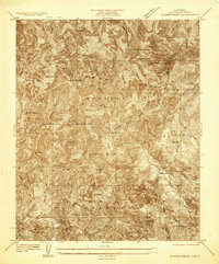 1935 Alder Creek1935 Print · USGSThe high peaks of Los Angeles County appear here in the mid-1930s, showing a backcountry landscape of early mining and forest service outposts. Researchers can locate remote sites like Loomis Ranch, the Monte Cristo Mine, and the Chilao R S.
 - 1940 Map of Acton, 1955 Print
 1940 Acton1955 Print · USGSThe high canyons of the San Gabriel Mountains are captured here during the 1940s, showing the early reach of water infrastructure and mining in the region. Genealogists and historians can trace the Southern Pacific rail line through Acton and Ravenna, or locate remote sites like the Monte Cristo Mine.
 - 1941 Map of Alder Creek
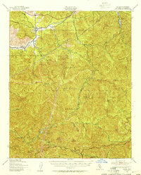
 1941 Alder Creek1941 Print · USGSDeep in the San Gabriel Mountains during the mid-1930s, this survey reveals a landscape of high summits and early forest infrastructure. Researchers can locate the Monte Cristo Mine, Loomis Ranch, and the Chilao Guard Station as they appeared before the war.3 unique versions available
 - 1944 Map of Tujunga
 1944 Tujunga1944 Print · USGSThe high canyons and desert fringes of the San Gabriel Mountains are captured here during the mid-forties. Genealogists and historians can trace the Southern Pacific rail line through Acton or locate the historic Monte Cristo Mines and the Tujunga Dam.
 - 1949 Map of Los Angeles
 1949 Los Angeles1949 Print · USGSSouthern California and the South Coast appear at the onset of the post-war boom, from the Channel Islands to the Mojave Desert. Trace early aviation sites like Lockheed Air Terminal and mining history at the Redrock Quicksilver Mine and Redrover Mine.2 unique versions available
 - 1955 Map of Los Angeles
 1955 Los Angeles1955 Print · USGSThe mid-century transformation of Southern California comes into focus as the urban sprawl of Los Angeles meets the wilderness of the Santa Monica Mountains. Researchers can trace the development of post-war suburbs alongside historic landmarks like the Santa Barbara Lighthouse and early industrial sites such as the Good Luck Mine.
 - 1959 Map of Los Angeles
 1959 Los Angeles1959 Print · USGSCoastal California and the high desert met in a period of booming growth after the war. Researchers can trace early aviation and military history at the Point Mugu Air Missile Test Ctr or locate desert mining sites like the Double Eagle Mine.3 unique versions available
 - 1959 Map of Chilao Flat, 1960 Print
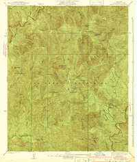
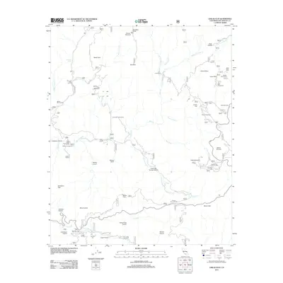
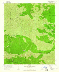 1959 Chilao Flat1960 Print · USGSHigh in the San Gabriel Mountains during the late fifties, this area shows a transition from mining history to forest recreation. Researchers can locate the Monte Cristo Mine, remote homesteads like Loomis Ranch, and landmarks like Red Box Station.7 unique versions available
 - 1959 Map of Acton, 1961 Print
 1959 Acton1961 Print · USGSIn the late fifties, the high country north of Los Angeles balanced a legacy of mining with a new era of forestry and recreation. Map researchers can trace mountain history through sites like the Monte Cristo Mine, Switzers Camp, and the Loomis Ranch.3 unique versions available
 - 1966 Map of Los Angeles
 1966 Los Angeles1966 Print · USGSSouthern California underwent a mid-century transformation as suburban grids reached the base of the San Gabriel Mountains. Researchers can trace the path of the Los Angeles Aqueduct or locate defense landmarks like Edwards Air Force Base.
 - 1975 Map of Los Angeles, 1977 Print
 1975 Los Angeles1977 Print · USGSSouthern California is captured in a period of significant growth during the mid-seventies, showing the urban sprawl from the coast to the high desert. Researchers can trace the development of the Pacific Coast Hwy and find aerospace landmarks like Edwards Air Force Base and the Flight Test Center (NASA).2 unique versions available
 - 1976 Map of Chilao Flat
 1976 Chilao Flat1976 Print · USGSCovers Chilao, including Los Angeles County, United States, and other nearby areas
 - 1979 Map of Los Angeles
 1979 Los Angeles1979 Print · USGSSouthern California at the close of the 1970s reveals a sprawling network of suburban growth and massive infrastructure projects. Researchers can trace established rail lines like the Southern Pacific alongside newer settlements and landmarks like Virginia Colony and Griffith Park.
 - 1995 Map of Chilao Flat, 1999 Print
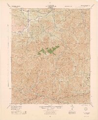
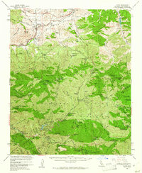
 1995 Chilao Flat1999 Print · USGSThe Angeles National Forest in the mid-nineties remains a remote haven for hikers and historians alike, where mining claims and high ranch outposts dot the San Gabriel peaks. Trace the old workings of the Monte Cristo Mine or follow the route of the Pacific Crest National Scenic Trail past Loomis Ranch.
 - 2012 Map of Chilao Flat, 2012 Print
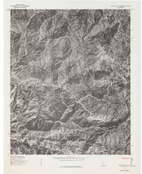
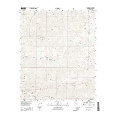
 2012 Chilao Flat2012 Print · USGSCovers Chilao, including Los Angeles County, United States, and other nearby areas
 - 2015 Map of Chilao Flat, 2015 Print
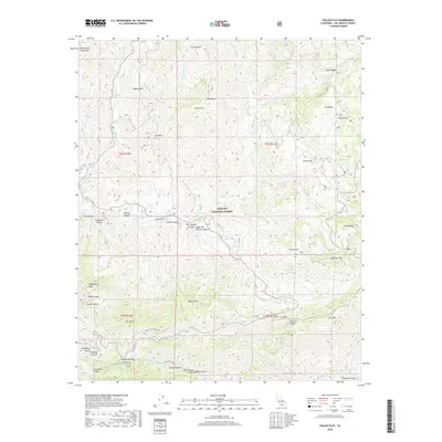
 2015 Chilao Flat2015 Print · USGSCovers Chilao, including Los Angeles County, United States, and other nearby areas
 - 2018 Map of Chilao Flat, 2018 Print
 2018 Chilao Flat2018 Print · USGSCovers Chilao, including Los Angeles County, United States, and other nearby areas
 - 2021 Map of Chilao Flat, 2021 Print
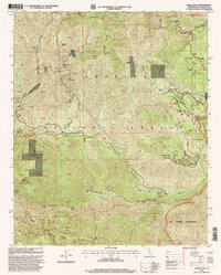
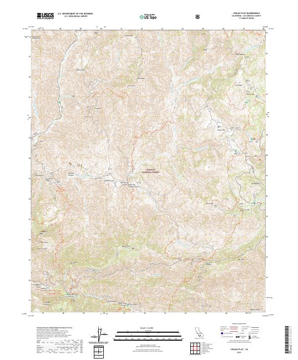 2021 Chilao Flat2021 Print · USGSThe San Gabriel Mountains come into focus in this modern era, showing the intricate canyons and high-country flats of the Angeles National Forest. Researchers can trace forest access routes like Mount Wilson Red Box Rd to reach Chilao Flat and Red Box Gap.
End of results
Showing maps 1-21 of 21
Top cities near Chilao
- Los Angeles historical maps
- Glendale historical maps
- Pomona historical maps
- Palmdale historical maps
- Pasadena historical maps
- Alhambra historical maps
See more
Frequently asked questions
- What are the different types of historical maps available for Chilao?
- What is the oldest map of Chilao?
- Where can I purchase historical maps of Chilao for my home or office?
- Where can I download high-res historical maps of Chilao?
- Are there historical topographic maps available for Chilao?
- Is there historical aerial imagery available for Chilao?
- Where are historical maps of Chilao sourced from?