Old Maps of Glendora, California
Explore 30 old maps of Glendora, spanning from 1894 to today. These high-resolution historic maps reveal how streets, neighborhoods, landmarks, and natural features evolved over time — perfect for genealogy, metal detecting, research, and local history exploration.
What you can do with these maps:
- See how Glendora changed over time: Compare historical maps to modern-day views to trace roads, homesites, rail lines & more.
- View detailed metadata: Each map includes creators, publishers, year, scale, and archive source.
- Overlay maps with satellite & LiDAR: Visualize the past alongside modern tools to explore terrain & human change.
- Trusted historical sources: Maps sourced from the USGS, Library of Congress, and other archives.
- Access maps your way: View online, download high-res files, or order prints for personal or research use.
Start exploring old maps of Glendora to uncover forgotten places, hidden landmarks, and the deep history beneath your feet.
Glendora, CA maps
(30)- 1894 Map of Pomona, 1960 Print
 1894 Pomona1960 Print · USGSCovers Glendora, including Pomona, El Monte, and other nearby areas
 - 1897 Map of Pomona
 1897 Pomona1897 Print · USGSCovers Glendora, including Pomona, El Monte, and other nearby areas
 - 1898 Map of Pomona
 1898 Pomona1898 Print · USGSCovers Glendora, including Pomona, El Monte, and other nearby areas2 unique versions available
 - 1901 Map of Southern California Sheet No. 1
 1901 Southern California Sheet No. 11901 Print · USGSCovers Glendora, including Los Angeles, Long Beach, and other nearby areas11 unique versions available
 - 1904 Map of Pomona
 1904 Pomona1904 Print · USGSCovers Glendora, including Pomona, El Monte, and other nearby areas7 unique versions available
 - 1904 Map of Southern California Sheet No. 1, 1905 Print
 1904 Southern California Sheet No. 11905 Print · USGSCovers Glendora, including Los Angeles, Long Beach, and other nearby areas3 unique versions available
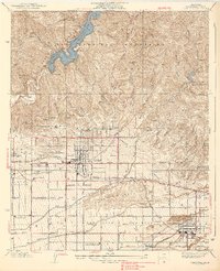
 - 1927 Map of Glendora
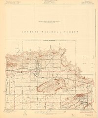 1927 Glendora1927 Print · USGSCovers Glendora, including Covina, Azusa, and other nearby areas2 unique versions available
 - 1928 Map of La Verne
 1928 La Verne1928 Print · USGSCovers Glendora, including Pomona, Upland, and other nearby areas2 unique versions available
 - 1933 Map of Glendora
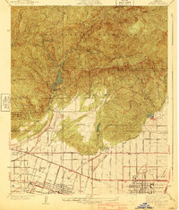
 1933 Glendora1933 Print · USGSCovers Glendora, including Covina, Azusa, and other nearby areas
 - 1933 Map of La Verne and Evey Canyon
 1933 La Verne and Evey Canyon1933 Print · USGSCovers Glendora, including Pomona, Upland, and other nearby areas
 - 1939 Map of Glendora
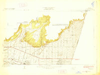
 1939 Glendora1939 Print · USGSCovers Glendora, including Covina, Azusa, and other nearby areas3 unique versions available
 - 1940 Map of La Verne
 1940 La Verne1940 Print · USGSCovers Glendora, including Pomona, Upland, and other nearby areas4 unique versions available
 - 1953 Map of San Bernardino
 1953 San Bernardino1953 Print · USGSCovers Glendora, including Riverside, Fontana, and other nearby areas2 unique versions available
 - 1953 Map of Azusa, 1955 Print
 1953 Azusa1955 Print · USGSCovers Glendora, including Azusa, Monrovia, and other nearby areas2 unique versions available
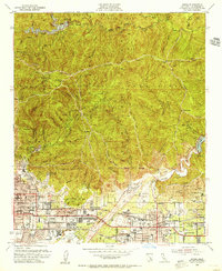
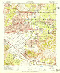
 - 1953 Map of Glendora, 1955 Print
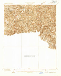
 1953 Glendora1955 Print · USGSCovers Glendora, including San Dimas, La Verne, and other nearby areas3 unique versions available
 - 1953 Map of Baldwin Park, 1955 Print
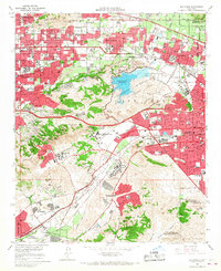
 1953 Baldwin Park1955 Print · USGSCovers Glendora, including El Monte, West Covina, and other nearby areas2 unique versions available
 - 1954 Map of San Dimas, 1956 Print
 1954 San Dimas1956 Print · USGSCovers Glendora, including Pomona, West Covina, and other nearby areas2 unique versions available
 - 1956 Map of San Bernardino
 1956 San Bernardino1956 Print · USGSCovers Glendora, including Riverside, Fontana, and other nearby areas
 - 1957 Map of San Bernardino
 1957 San Bernardino1957 Print · USGSCovers Glendora, including Riverside, Fontana, and other nearby areas
 - 1958 Map of San Bernardino, 1975 Print
 1958 San Bernardino1975 Print · USGSCovers Glendora, including Riverside, Fontana, and other nearby areas
 - 1959 Map of San Bernardino
 1959 San Bernardino1959 Print · USGSCovers Glendora, including Riverside, Fontana, and other nearby areas
 - 1966 Map of San Bernardino
 1966 San Bernardino1966 Print · USGSCovers Glendora, including Riverside, Fontana, and other nearby areas
 - 1966 Map of Baldwin Park, 1967 Print
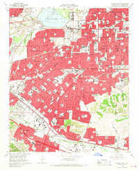 1966 Baldwin Park1967 Print · USGSCovers Glendora, including El Monte, West Covina, and other nearby areas5 unique versions available
 - 1966 Map of San Dimas, 1967 Print
 1966 San Dimas1967 Print · USGSCovers Glendora, including Pomona, West Covina, and other nearby areas4 unique versions available
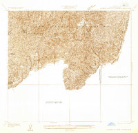
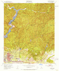
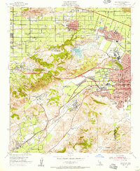
 - 1966 Map of Glendora, 1968 Print
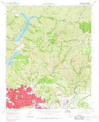 1966 Glendora1968 Print · USGSCovers Glendora, including San Dimas, La Verne, and other nearby areas2 unique versions available
Showing maps 1-25 of 30
Top cities near Glendora
- Ontario historical maps
- Rancho Cucamonga historical maps
- Pomona historical maps
- Pasadena historical maps
- Fullerton historical maps
- El Monte historical maps
See more
Top neighborhoods of Glendora
Frequently asked questions
- What are the different types of historical maps available for Glendora?
- What is the oldest map of Glendora?
- Where can I purchase historical maps of Glendora for my home or office?
- Where can I download high-res historical maps of Glendora?
- Are there historical topographic maps available for Glendora?
- Is there historical aerial imagery available for Glendora?
- Where are historical maps of Glendora sourced from?