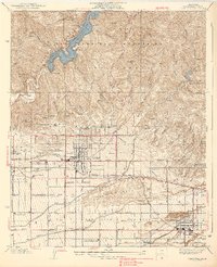
1939 Map of Glendora
USGS Topo · Published 1939About this map
The San Gabriel Mountains dominate the northern landscape of this 1930s survey, rising sharply above the citrus groves and expanding settlements of the San Gabriel Valley. The massive San Gabriel Reservoir, held by the Morris Dam, serves as a critical hydrological anchor for the region. Below the mountains, the communities of Glendora and San Dimas are clearly defined by their street grids and the intersecting routes of the Pacific Electric and Atchison Topeka and Santa Fe railroads.
Find a feature on this map
73 named features on this map. Tap any name to fly to it.
Don’t see what you’re looking for? This feature index may not catch every label — zoom into the map to look around manually.
Map Details
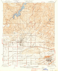
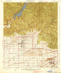
Editions of this 1939 Glendora Map
3 editions found
Other maps of this area

1894 · Pomona
USGS Topo · 1:62,500

1897 · Pomona
USGS Topo · 1:62,500

1898 · Pomona
USGS Topo · 1:62,500

1901 · Southern California Sheet No. 1
USGS Topo · 1:250,000

1904 · Pomona
USGS Topo · 1:62,500

1904 · Southern California Sheet No. 1
USGS Topo · 1:250,000
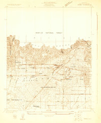
1925 · Azusa
USGS Topo · 1:24,000
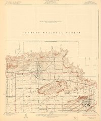
1927 · Glendora
USGS Topo · 1:24,000
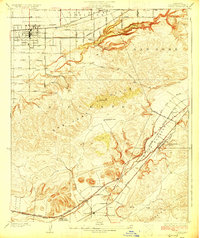
1927 · Covina
USGS Topo · 1:24,000
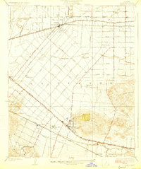
1927 · Puente
USGS Topo · 1:24,000