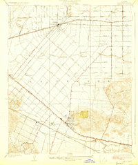
1927 Map of Puente
USGS Topo · Published 1927About this map
Puente stands as a central hub within this 1920s landscape, flanked by the rising slopes of the Puente Hills and the San Jose Hills. The area reflects a transitional era where extensive citrus groves and agricultural tracts are crisscrossed by a dense network of early transit, including the Southern Pacific and Pacific Electric lines. Smaller agricultural communities and specialized settlements like Fellowship Farm and Temple Ranch are interspersed between the growing footprints of West Covina and Baldwin Park.
Find a feature on this map
50 named features on this map. Tap any name to fly to it.
Don’t see what you’re looking for? This feature index may not catch every label — zoom into the map to look around manually.
Map Details
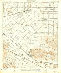
Editions of this 1927 Puente Map
2 editions found
Other maps of this area

1894 · Los Angeles
USGS Topo · 1:62,500

1894 · Pomona
USGS Topo · 1:62,500

1896 · Pasadena
USGS Topo · 1:62,500

1896 · Anaheim
USGS Topo · 1:62,500

1896 · Downey
USGS Topo · 1:62,500

1897 · Pomona
USGS Topo · 1:62,500

1898 · Pomona
USGS Topo · 1:62,500

1898 · Anaheim
USGS Topo · 1:62,500

1899 · Downey
USGS Topo · 1:62,500

1900 · Pasadena
USGS Topo · 1:62,500