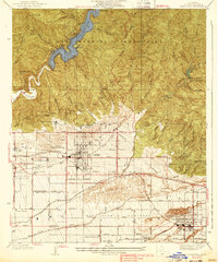
1939 Map of Glendora
USGS Topo · Published 1939About this map
The San Gabriel Mountains dominate the northern half of this 1930s landscape, where the Morris Reservoir and Morris Dam manage the flow of the San Gabriel River through the canyon. Below the mountains, the communities of Glendora and San Dimas sit at the intersection of a developing suburban grid and a vital transportation network. This era shows a unique concentration of educational and military institutions along the foothills, including the Girls Collegiate Sch, Carlin Military Academy, and Sierra Military Academy. The regional infrastructure is defined by the Santa Fe and Pacific Electric lines, which cut across the valley floor near the South Hills, serving the citrus-growing region and local schools like Citrus Union High School and Charter Oak School.
Find a feature on this map
74 named features on this map. Tap any name to fly to it.
Don’t see what you’re looking for? This feature index may not catch every label — zoom into the map to look around manually.
Map Details
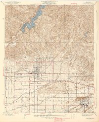
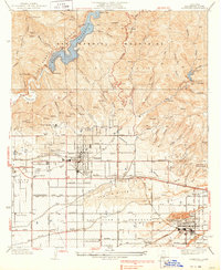
Editions of this 1939 Glendora Map
3 editions found
Other maps of this area

1894 · Pomona
USGS Topo · 1:62,500

1897 · Pomona
USGS Topo · 1:62,500

1898 · Pomona
USGS Topo · 1:62,500

1901 · Southern California Sheet No. 1
USGS Topo · 1:250,000

1904 · Pomona
USGS Topo · 1:62,500

1904 · Southern California Sheet No. 1
USGS Topo · 1:250,000
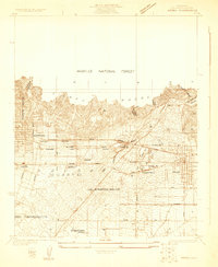
1925 · Azusa
USGS Topo · 1:24,000
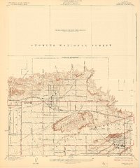
1927 · Glendora
USGS Topo · 1:24,000
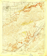
1927 · Covina
USGS Topo · 1:24,000
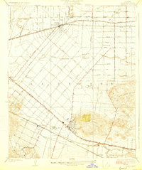
1927 · Puente
USGS Topo · 1:24,000