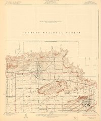
1927 Map of Glendora
USGS Topo · Published 1927About this map
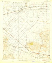
Glendora sits at the foot of the Angeles National Forest, where steep canyons like Big Dalton Canyon and Englewild Canyon give way to an organized grid of citrus groves and residential expansion. The landscape in the late 1920s is defined by its transition from the rugged South Hills and Walnut Hill to the agricultural flats. This area serves as a critical junction for three major rail lines: the Pacific Electric, the Southern Pacific, and the Atchison Topeka and Santa Fe, reflecting its importance in the regional transit and citrus economy.
Find a feature on this map
45 named features on this map. Tap any name to fly to it.
Don’t see what you’re looking for? This feature index may not catch every label — zoom into the map to look around manually.
Map Details
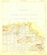
Editions of this 1927 Glendora Map
2 editions found
Other maps of this area

1894 · Pomona
USGS Topo · 1:62,500

1897 · Pomona
USGS Topo · 1:62,500

1898 · Pomona
USGS Topo · 1:62,500

1901 · Southern California Sheet No. 1
USGS Topo · 1:250,000

1904 · Pomona
USGS Topo · 1:62,500

1904 · Southern California Sheet No. 1
USGS Topo · 1:250,000
1925 · Azusa
USGS Topo · 1:24,000
1927 · Covina
USGS Topo · 1:24,000
1927 · Puente
USGS Topo · 1:24,000
1928 · La Verne
USGS Topo · 1:24,000