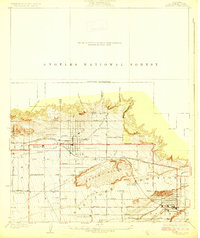
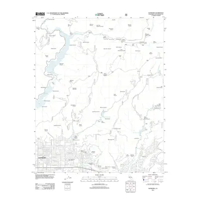
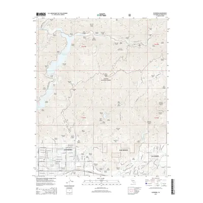
1927 Map of Glendora
USGS Topo · Published 1927About this map
The citrus groves and foothills of the San Gabriel Valley appear here during a period of transition between agricultural dominance and suburban growth. The city of Glendora is the central hub, situated where the Pacific Electric and Atchison Topeka and Santa Fe rail lines converge. To the south, San Dimas and Charter Oak are established as distinct settlements, connected by a dense grid of local thoroughfares like Bonita Avenue and Foothill Boulevard.
Find a feature on this map
36 named features on this map. Tap any name to fly to it.
Don’t see what you’re looking for? This feature index may not catch every label — zoom into the map to look around manually.
Map Details
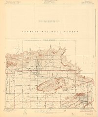
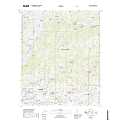
Editions of this 1927 Glendora Map
2 editions found
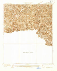
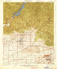
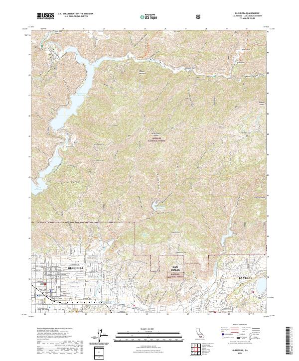
Historical Maps of Glendora Through Time
10 maps found
1927 Glendora
Los Angeles County, CA
1933 Glendora
Los Angeles County, CA
1939 Glendora
Los Angeles County, CA
1953 Glendora
Los Angeles County, CA
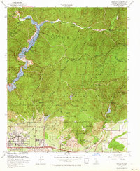
1966 Glendora
Los Angeles County, CA
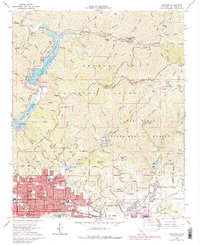
1995 Glendora
Los Angeles County, CA
2012 Glendora
Los Angeles County, CA
2015 Glendora
Los Angeles County, CA
2018 Glendora
Los Angeles County, CA
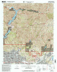
2021 Glendora
Los Angeles County, CA