2000s (21st Century) Maps of Malibu, California
Explore 20 historic maps of Malibu from the 2000s (21st Century). These maps offer a rare glimpse into what life looked like during the 2000s — showing old roads, neighborhoods, homes, and landmarks that have changed or disappeared over time.
Whether you're researching your family's past, planning a metal detecting trip, or studying how Malibu's landscape evolved across the 2000s, these high-resolution maps are a powerful tool for exploring the history of this region.
- Focus on a specific era: All maps on this page are from the 2000s, giving you a focused view of this time period.
- See what’s changed: Compare century-old streets, trails, and buildings to today's modern landscape using overlays and satellite layers.
- Research with precision: Use these maps for genealogy, historical research, land use analysis, or educational projects.
- View, download, or print: Maps are fully viewable online in high resolution, and can be downloaded or printed for your own records.
Start exploring Malibu's history through authentic maps from the 2000s. This is your window into the past.
Malibu, CA maps
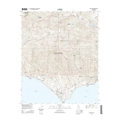
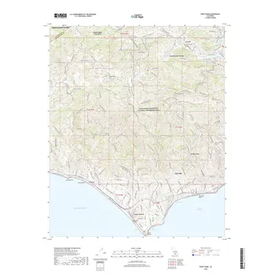
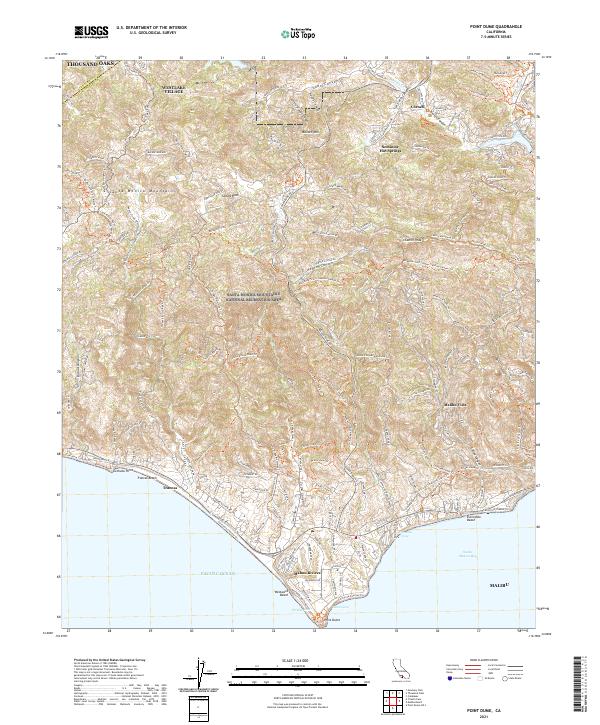
(20)- 2012 Map of Point Dume, 2012 Print
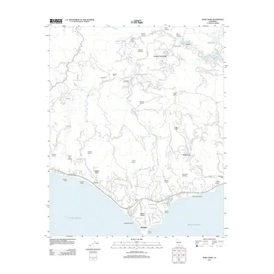 2012 Point Dume2012 Print · USGSCovers Malibu, including Thousand Oaks, Westlake Village, and other nearby areas
 - 2012 Map of Malibu Beach, 2012 Print
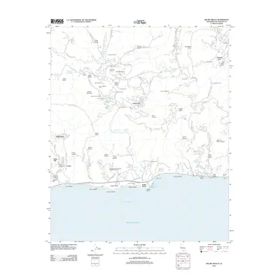 2012 Malibu Beach2012 Print · USGSCovers Malibu, including Calabasas, Unincorporated Santa Monica Mountains, and other nearby areas
 - 2012 Map of Point Dume OE S, 2012 Print
 2012 Point Dume OE S2012 Print · USGSCovers Malibu, including Los Angeles County, United States, and other nearby areas
 - 2012 Map of Topanga, 2012 Print
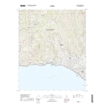
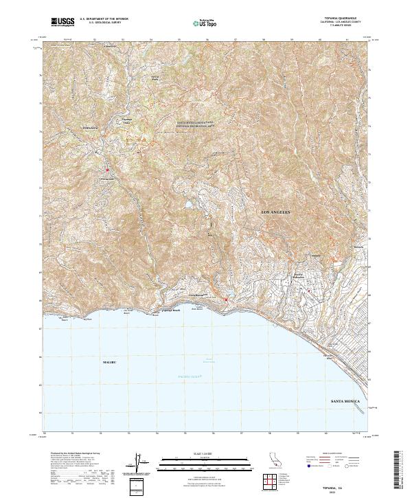
 2012 Topanga2012 Print · USGSCovers Malibu, including Los Angeles, Santa Monica, and other nearby areas
 - 2012 Map of Triunfo Pass, 2012 Print
 2012 Triunfo Pass2012 Print · USGSCovers Malibu, including Unincorporated Santa Monica Mountains, South Beach, and other nearby areas
 - 2015 Map of Topanga, 2015 Print
 2015 Topanga2015 Print · USGSCovers Malibu, including Los Angeles, Santa Monica, and other nearby areas
 - 2015 Map of Point Dume, 2015 Print
 2015 Point Dume2015 Print · USGSCovers Malibu, including Thousand Oaks, Westlake Village, and other nearby areas
 - 2015 Map of Malibu Beach, 2015 Print
 2015 Malibu Beach2015 Print · USGSCovers Malibu, including Calabasas, Unincorporated Santa Monica Mountains, and other nearby areas
 - 2015 Map of Triunfo Pass, 2015 Print
 2015 Triunfo Pass2015 Print · USGSCovers Malibu, including Unincorporated Santa Monica Mountains, South Beach, and other nearby areas
 - 2015 Map of Point Dume OE S, 2015 Print
 2015 Point Dume OE S2015 Print · USGSCovers Malibu, including Los Angeles County, United States, and other nearby areas
 - 2018 Map of Point Dume OE S, 2018 Print
 2018 Point Dume OE S2018 Print · USGSCovers Malibu, including Los Angeles County, United States, and other nearby areas
 - 2018 Map of Topanga, 2018 Print
 2018 Topanga2018 Print · USGSCovers Malibu, including Los Angeles, Santa Monica, and other nearby areas
 - 2018 Map of Triunfo Pass, 2018 Print
 2018 Triunfo Pass2018 Print · USGSCovers Malibu, including Unincorporated Santa Monica Mountains, South Beach, and other nearby areas
 - 2018 Map of Point Dume, 2018 Print
 2018 Point Dume2018 Print · USGSCovers Malibu, including Thousand Oaks, Westlake Village, and other nearby areas
 - 2018 Map of Malibu Beach, 2018 Print
 2018 Malibu Beach2018 Print · USGSCovers Malibu, including Calabasas, Unincorporated Santa Monica Mountains, and other nearby areas
 - 2021 Map of Point Dume, 2021 Print
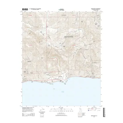
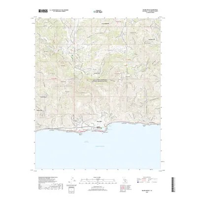
 2021 Point Dume2021 Print · USGSThe Santa Monica Mountains meet the Pacific Ocean in the early twenty-first century, showing the development of coastal enclaves. Trace historic trails and modern topography through Seminole Hot Springs, Malibu Vista, and the prominent Point Dume.
 - 2022 Map of Malibu Beach, 2022 Print
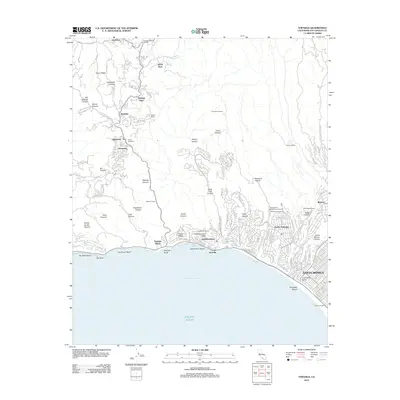
 2022 Malibu Beach2022 Print · USGSThe Santa Monica Mountains meet the Pacific shoreline in the early 2020s, revealing a landscape of steep canyons and coastal enclaves. Trace the development of Malibu Beach and Pepperdine University or explore the trails around Monte Nido.
 - 2022 Map of Triunfo Pass, 2022 Print
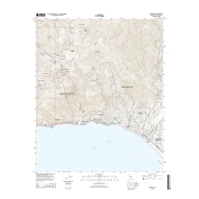
 2022 Triunfo Pass2022 Print · USGSThe coastal interface of Ventura and Los Angeles Counties is captured here in the early 2020s, showing the dramatic transition from high peaks to the Pacific. Trace local landmarks like the Decker School Ln, the settlement of Solromar, and the high point of Sandstone Peak.
 - 2022 Map of Topanga, 2022 Print
 2022 Topanga2022 Print · USGSThe coastal canyons and mountain ridges of West Los Angeles are documented here in recent detail. You can trace modern access routes and neighborhood boundaries in Fernwood, Castellammare, and the canyon-side community of Topanga Oaks.
 - 2022 Map of Point Dume OE S, 2022 Print
 2022 Point Dume OE S2022 Print · USGSThe coastal boundary of Malibu meets the open waters of the Pacific Ocean in this 2022 survey. Researchers can trace the modern shoreline and the marine interface of the Southern California bight at this specific point south of the mainland.
End of results
Showing maps 1-20 of 20
Top cities near Malibu
- Los Angeles historical maps
- Thousand Oaks historical maps
- Simi Valley historical maps
- Santa Monica historical maps
- Camarillo historical maps
- Calabasas historical maps
See more
Top neighborhoods of Malibu
- Malibu Beach historical maps
- Trancas historical maps
- Malibu West historical maps
- Las Flores historical maps
- Malibu Country Estates historical maps
- Malibu Riviera historical maps
Frequently asked questions
- What are the different types of historical maps available for Malibu?
- What is the oldest map of Malibu?
- Where can I purchase historical maps of Malibu for my home or office?
- Where can I download high-res historical maps of Malibu?
- Are there historical topographic maps available for Malibu?
- Is there historical aerial imagery available for Malibu?
- Where are historical maps of Malibu sourced from?