2000s (21st Century) Maps of Monrovia, California
Explore 16 historic maps of Monrovia from the 2000s (21st Century). These maps offer a rare glimpse into what life looked like during the 2000s — showing old roads, neighborhoods, homes, and landmarks that have changed or disappeared over time.
Whether you're researching your family's past, planning a metal detecting trip, or studying how Monrovia's landscape evolved across the 2000s, these high-resolution maps are a powerful tool for exploring the history of this region.
- Focus on a specific era: All maps on this page are from the 2000s, giving you a focused view of this time period.
- See what’s changed: Compare century-old streets, trails, and buildings to today's modern landscape using overlays and satellite layers.
- Research with precision: Use these maps for genealogy, historical research, land use analysis, or educational projects.
- View, download, or print: Maps are fully viewable online in high resolution, and can be downloaded or printed for your own records.
Start exploring Monrovia's history through authentic maps from the 2000s. This is your window into the past.
Monrovia, CA maps
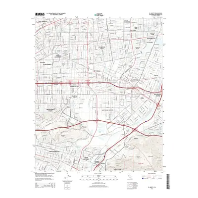
(16)- 2012 Map of Baldwin Park, 2012 Print
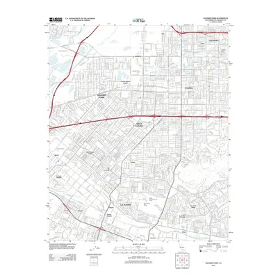 2012 Baldwin Park2012 Print · USGSCovers Monrovia, including El Monte, West Covina, and other nearby areas
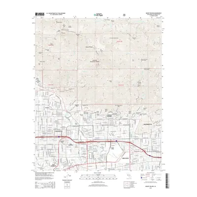
 - 2012 Map of Mount Wilson, 2012 Print
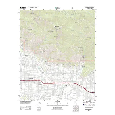 2012 Mount Wilson2012 Print · USGSCovers Monrovia, including Pasadena, Arcadia, and other nearby areas
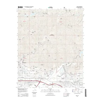
 - 2012 Map of Azusa, 2012 Print
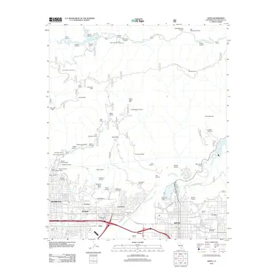 2012 Azusa2012 Print · USGSCovers Monrovia, including Glendora, Azusa, and other nearby areas
 - 2012 Map of El Monte, 2012 Print
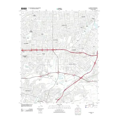 2012 El Monte2012 Print · USGSCovers Monrovia, including El Monte, Whittier, and other nearby areas
 - 2015 Map of El Monte, 2015 Print
 2015 El Monte2015 Print · USGSCovers Monrovia, including El Monte, Whittier, and other nearby areas
 - 2015 Map of Baldwin Park, 2015 Print
 2015 Baldwin Park2015 Print · USGSCovers Monrovia, including El Monte, West Covina, and other nearby areas
 - 2015 Map of Mount Wilson, 2015 Print
 2015 Mount Wilson2015 Print · USGSCovers Monrovia, including Pasadena, Arcadia, and other nearby areas
 - 2015 Map of Azusa, 2015 Print
 2015 Azusa2015 Print · USGSCovers Monrovia, including Glendora, Azusa, and other nearby areas
 - 2018 Map of Mount Wilson, 2018 Print
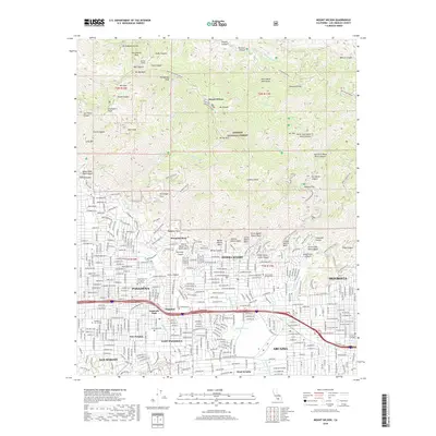 2018 Mount Wilson2018 Print · USGSCovers Monrovia, including Pasadena, Arcadia, and other nearby areas
 - 2018 Map of Azusa, 2018 Print
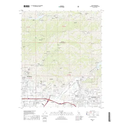 2018 Azusa2018 Print · USGSCovers Monrovia, including Glendora, Azusa, and other nearby areas
 - 2018 Map of Baldwin Park, 2018 Print
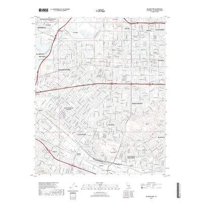 2018 Baldwin Park2018 Print · USGSCovers Monrovia, including El Monte, West Covina, and other nearby areas
 - 2018 Map of El Monte, 2018 Print
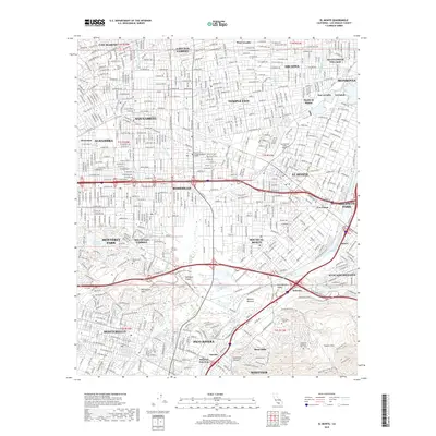 2018 El Monte2018 Print · USGSCovers Monrovia, including El Monte, Whittier, and other nearby areas
 - 2021 Map of Baldwin Park, 2021 Print
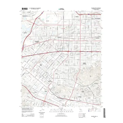
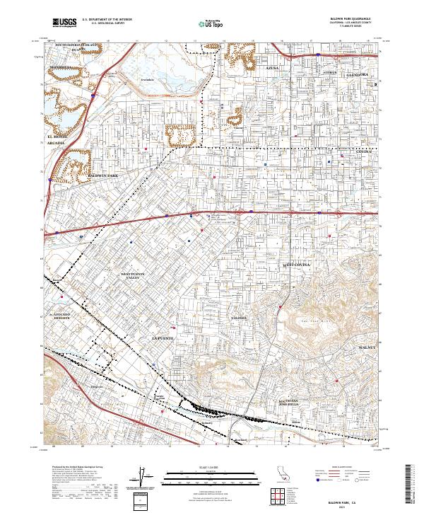 2021 Baldwin Park2021 Print · USGSThe San Gabriel Valley in the early twenty-first century reveals a landscape defined by rapid suburban growth and massive water management projects. Genealogists and local historians can trace the development of older neighborhoods in Vincent and Bassett or locate Oakdale Memorial Park.
 - 2021 Map of Azusa, 2021 Print
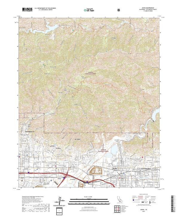 2021 Azusa2021 Print · USGSThe northern reaches of the San Gabriel Valley meet the steep foothills of the Angeles National Forest in this 2021 study. Genealogists and historians can trace the development of the foothill communities, finding landmarks like Live Oak Memorial Park, Citrus College, and the rail-side settlement of Kincaid.
 - 2022 Map of El Monte, 2022 Print
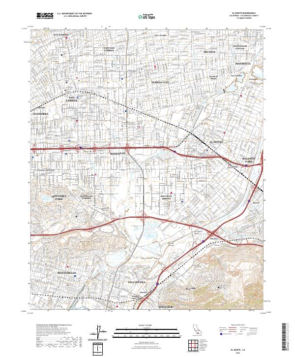 2022 El Monte2022 Print · USGSEl Monte and the San Gabriel Valley are captured here in the early 2020s, showing a densely populated landscape shaped by the San Gabriel River and Rio Hondo. Researchers can locate several historic burial sites, including the San Gabriel Mission Cem and Savannah Memorial Park, alongside the San Gabriel Valley Airport.
 - 2022 Map of Mount Wilson, 2022 Print
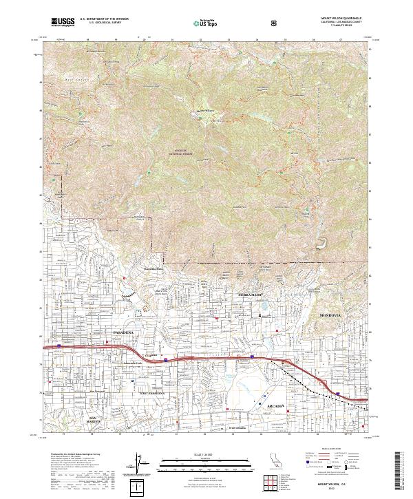 2022 Mount Wilson2022 Print · USGSThe foothills of the San Gabriel Mountains meet the San Gabriel Valley in the early 2020s, showcasing the high-density suburbs of Pasadena and Monrovia. Researchers can trace historic trails near Echo Mtn, find the Sierra Madre Pioneer Cem, or locate landmarks like Baldwin Lake.
End of results
Showing maps 1-16 of 16
Top cities near Monrovia
- Los Angeles historical maps
- Glendale historical maps
- Pomona historical maps
- Pasadena historical maps
- Fullerton historical maps
- Downey historical maps
See more
Frequently asked questions
- What are the different types of historical maps available for Monrovia?
- What is the oldest map of Monrovia?
- Where can I purchase historical maps of Monrovia for my home or office?
- Where can I download high-res historical maps of Monrovia?
- Are there historical topographic maps available for Monrovia?
- Is there historical aerial imagery available for Monrovia?
- Where are historical maps of Monrovia sourced from?