Old Maps of Trent, California for Metal Detecting
Plan your next treasure hunt with 13 historic maps of Trent. Find old homesites, ghost towns, trails, and gathering spots that may be lost to time — perfect for identifying promising metal detecting locations.
- Locate forgotten sites: Uncover places like long-lost settlements, abandoned rail lines, or gathering spots.
- Plan better hunts: Use map overlays combined with LiDAR or satellite views to narrow in on historically rich areas.
- Made for detectorists: Thousands of hobbyists use these maps to discover relics, coins, and hidden history.
Use these historic maps to boost your research and find new opportunities beneath the surface of Trent.
Trent, CA maps
(13)- 1921 Map of Volta
 1921 Volta1921 Print · USGSMerced County agriculture and rail transit are in focus during the early twenties as irrigation reshapes the valley floor. Genealogists and historians can locate the Volta rail stop, the rural Monroe School, and the path of the San Joaquin and Kings River Canal.
 - 1947 Map of Volta
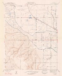 1947 Volta1947 Print · USGSMerced County agriculture and rail transit are captured here in the years following the war. Genealogists and local historians can trace the irrigation network of the Main Canal and locate early sites like Volta, Trent, and Washboard Road.3 unique versions available
 - 1947 Map of San Jose, 1948 Print
 1947 San Jose1948 Print · USGSNorthern California's heartland is captured here just after the war, showing the rapid growth of the Santa Clara and Central Valleys. Researchers can trace the legacy of rail and water at Castle Air Force Base, Stockton, and the Hetch Hetchy Aqueduct.
 - 1956 Map of San Jose
 1956 San Jose1956 Print · USGSCentral California in the mid-fifties reveals the transition from sprawling orchards to growing urban hubs like San Jose and Stockton. Genealogists and historians can trace the rail-era landscape of the Mother Lode through Chinese Camp and Tuttletown, or follow the water through the Joaquin River and Calaveras Reservoir.
 - 1960 Map of Volta, 1961 Print
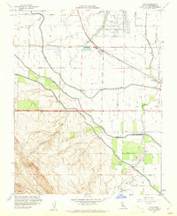 1960 Volta1961 Print · USGSMerced County agriculture and irrigation are at their mid-century peak in this survey of the San Joaquin Valley. Genealogists and researchers can trace the Southern Pacific rail line through Volta, locate the Labor Camp, and identify the grounds of the Los Banos Odd Fellows Grove.4 unique versions available
 - 1961 Map of Los Banos, 1963 Print
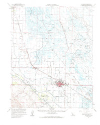 1961 Los Banos1963 Print · USGSMerced County in the early 1960s reveals an engineered agricultural landscape of extensive canal systems and railroad-aligned towns. Genealogists and local researchers can trace family landmarks like Odd Fellows Grove, the local Cem, and the busy hub of Los Banos.
 - 1962 Map of San Jose
 1962 San Jose1962 Print · USGSCentral California in the early sixties showcases the expansion of the San Joaquin and Santa Clara valleys. Researchers can trace the rail-to-road transition along the Southern Pacific RR or locate landmarks like Castle USAF Base and Loma Prieta.4 unique versions available
 - 1966 Map of San Jose
 1966 San Jose1966 Print · USGSCentral California in the mid-1960s reveals a landscape of massive irrigation projects and expanding Cold War military footprints. Researchers can trace the rail-and-river network of the San Joaquin Valley or locate specialized sites like Castle Air Force Base and the Sharp General Depot (Military).
 - 1983 Map of Merced
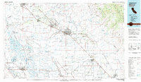 1983 Merced1983 Print · USGSThe San Joaquin Valley at the start of the eighties is captured here in its full agricultural and military height. Trace the legacy of Castle Air Force Base, old mines like Pocahontas Mine, and the vast Kesterson National Wildlife Refuge.
 - 2012 Map of Volta, 2012 Print
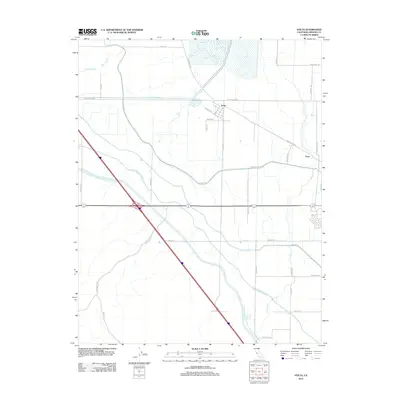 2012 Volta2012 Print · USGSMerced County agriculture and engineering take center stage in the early 2010s as massive irrigation projects cross the valley floor. Researchers can trace the layout of small settlements like Volta and Trent alongside the Delta-Mendota Canal and the Ingomar Grade.
 - 2015 Map of Volta, 2015 Print
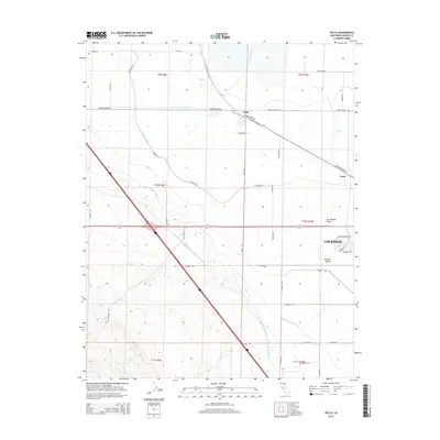 2015 Volta2015 Print · USGSThe agricultural heart of the San Joaquin Valley is defined by its massive water projects in this 2015 record. Researchers can trace the path of the California Aqueduct and find historic local landmarks like Volta, Trent, and Ingomar Grade.
 - 2018 Map of Volta, 2018 Print
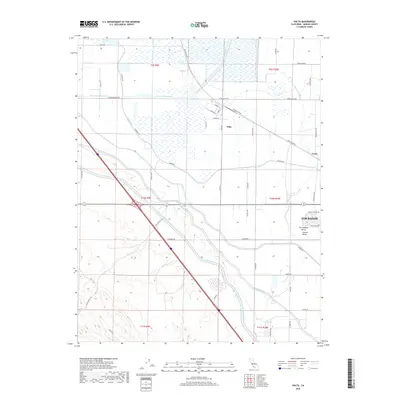 2018 Volta2018 Print · USGSThe northern edge of Los Banos and the settlement of Volta are captured here in the late 2010s. Researchers can trace the massive water projects of the Central Valley, from the California Aqueduct to the Delta-Mendota Canal and San Luis Wasteway.
 - 2021 Map of Volta, 2021 Print
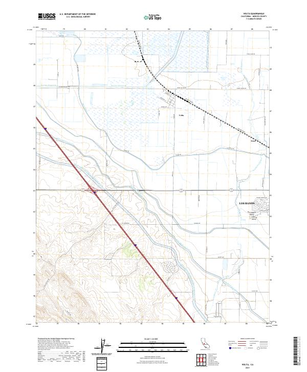 2021 Volta2021 Print · USGSThe northern edge of the Central Valley comes into focus in this modern survey of Merced County. Genealogists and historians can trace local development around Volta, the Ingomar Grade, and the massive Delta-Mendota Canal.
End of results
Showing maps 1-13 of 13
Top cities near Trent
- Los Banos historical maps
- Gustine historical maps
- Dos Palos historical maps
- South Dos Palos historical maps
Frequently asked questions
- What are the different types of historical maps available for Trent?
- What is the oldest map of Trent?
- Where can I purchase historical maps of Trent for my home or office?
- Where can I download high-res historical maps of Trent?
- Are there historical topographic maps available for Trent?
- Is there historical aerial imagery available for Trent?
- Where are historical maps of Trent sourced from?