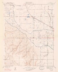
1947 Map of Volta
USGS Topo · Published 1947About this map
Southern Pacific rail lines and a complex network of irrigation infrastructure define this Merced County landscape as it appeared in the mid-1940s. The settlement of Volta serves as a central hub along the tracks, while Trent marks a smaller stop to the southeast. The engineering of the Central Valley is on full display through the paths of the Main Canal and Outside Canal, which cut across the terrain to manage water flow from San Luis Creek and Los Banos Creek.
Find a feature on this map
13 named features on this map. Tap any name to fly to it.
Don’t see what you’re looking for? This feature index may not catch every label — zoom into the map to look around manually.
Map Details
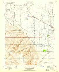
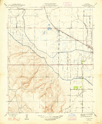
Editions of this 1947 Volta Map
3 editions found
Other maps of this area

1913 · Panoche
USGS Topo · 1:125,000

1919 · San Luis Ranch
USGS Topo · 1:31,680

1919 · Ingomar
USGS Topo · 1:31,680

1920 · Pacheco Pass
USGS Topo · 1:62,500

1920 · Carrisalito Spring
USGS Topo · 1:31,680

1921 · Volta
USGS Topo · 1:31,680

1921 · Los Banos
USGS Topo · 1:31,680

1922 · Charleston School
USGS Topo · 1:31,680

1922 · Quien Sabe
USGS Topo · 1:62,500

1922 · San Luis Creek
USGS Topo · 1:31,680