Old Maps of Chalfant Valley, California for Metal Detecting
Plan your next treasure hunt with 13 historic maps of Chalfant Valley. Find old homesites, ghost towns, trails, and gathering spots that may be lost to time — perfect for identifying promising metal detecting locations.
- Locate forgotten sites: Uncover places like long-lost settlements, abandoned rail lines, or gathering spots.
- Plan better hunts: Use map overlays combined with LiDAR or satellite views to narrow in on historically rich areas.
- Made for detectorists: Thousands of hobbyists use these maps to discover relics, coins, and hidden history.
Use these historic maps to boost your research and find new opportunities beneath the surface of Chalfant Valley.
Chalfant Valley, CA maps
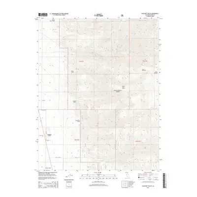
(13)- 1917 Map of White Mountain
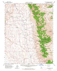
 1917 White Mountain1917 Print · USGSThe high desert borderlands of California and Nevada come alive in this survey from the mid-1910s. Researchers can trace the Southern Pacific rail line past remote outposts like Benton Sta. or locate high-altitude workings at the Sacramento Mine and Gold Hit.7 unique versions available
 - 1947 Map of Mariposa, 1948 Print
 1947 Mariposa1948 Print · USGSThe High Sierra and Owens Valley transition is captured here in the late 1940s, just as the region’s hydroelectric and tourism infrastructure was maturing. Genealogists and historians can trace old ranger stations, the Casa Diablo Mine, and rail stops along the Southern Pacific like Benton Station and Zurich.2 unique versions available
 - 1948 Map of Mariposa, 1951 Print
 1948 Mariposa1951 Print · USGSThe High Sierra and Mariposa foothills are shown here in the late 1940s as the post-war tourism and water infrastructure expanded. Genealogists and historians can locate vanished waypoints like Mormon Bar, the Glacier Point Hotel, and the granite quarries of Knowles.
 - 1957 Map of Mariposa, 1966 Print
 1957 Mariposa1966 Print · USGSThe High Sierra and Owens Valley appear in the mid-fifties, showing the intersection of conservation, hydroelectric power, and mountain industry. Genealogists and researchers can trace local landmarks like Yosemite Cemetery, the remote Kinsley Station, and the Pine Creek Mine.4 unique versions available
 - 1962 Map of White Mtn. Peak, 1964 Print
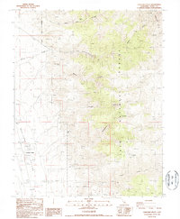
 1962 White Mtn. Peak1964 Print · USGSThe high peaks and ranching valleys of Mono County are captured here in the early sixties. Researchers can trace family ranching sites like Cashbaugh Ranch and Hammil, alongside historic mineral claims including the Jeffrey Mine and Copper Queen Mine.3 unique versions available
 - 1963 Map of Mariposa
 1963 Mariposa1963 Print · USGSThe High Sierra and Owens Valley meet in the early sixties, showing a landscape defined by gold-rush history and massive post-war water projects. Genealogists and researchers can trace old mining routes near Mariposa, locate the Glacier Point Hotel, and find small settlements like Coarse Gold or Knowles Junction.
 - 1987 Map of Chalfant Valley
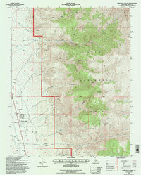
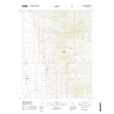
 1987 Chalfant Valley1987 Print · USGSChalfant Valley and the high desert of the White Mountains are captured here in the late eighties, showing a landscape of mining and water infrastructure. Researchers can trace the paths of the Aqueduct and locate historic workings like the Jeffrey Mine and Sacramento Mine.
 - 1988 Map of Benton Range
 1988 Benton Range1988 Print · USGSThe high desert and alpine peaks of the California-Nevada border come alive in this late-century survey of the Benton Range. Researchers can trace the heritage of remote outposts like Benton and Montgomery City alongside historic workings like the Black Warrior Mine.2 unique versions available
 - 1994 Map of Chalfant Valley, 1997 Print
 1994 Chalfant Valley1997 Print · USGSThe eastern California high desert and the slopes of the White Mts come alive in this mid-nineties survey. Researchers and geologists can locate dozens of historic extraction sites, from the Jeffrey Mine to the Copper Queen Mine, alongside the path of the regional Aqueduct.
 - 2012 Map of Chalfant Valley, 2012 Print
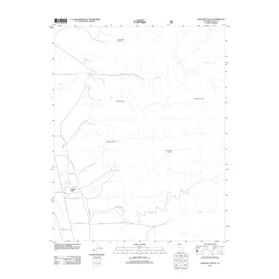 2012 Chalfant Valley2012 Print · USGSCovers Chalfant Valley, including Mono County, United States, and other nearby areas
 - 2015 Map of Chalfant Valley, 2015 Print
 2015 Chalfant Valley2015 Print · USGSCovers Chalfant Valley, including Mono County, United States, and other nearby areas
 - 2018 Map of Chalfant Valley, 2018 Print
 2018 Chalfant Valley2018 Print · USGSCovers Chalfant Valley, including Mono County, United States, and other nearby areas
 - 2021 Map of Chalfant Valley, 2021 Print
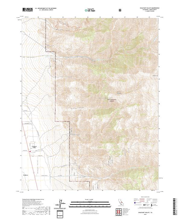 2021 Chalfant Valley2021 Print · USGSThe eastern Mono County desert floor meets the high peaks of the White Mountains in the early twenty-first century. Researchers can trace historic routes like Slim Princess Rd and mountain tracks such as Jeffrey Mine Trl near Chalfant Valley.
End of results
Showing maps 1-13 of 13
Top cities near Chalfant Valley
- Bishop historical maps
- Dixon Lane–Meadow Creek historical maps
- West Bishop historical maps
- Round Valley historical maps
- Mesa historical maps
Frequently asked questions
- What are the different types of historical maps available for Chalfant Valley?
- What is the oldest map of Chalfant Valley?
- Where can I purchase historical maps of Chalfant Valley for my home or office?
- Where can I download high-res historical maps of Chalfant Valley?
- Are there historical topographic maps available for Chalfant Valley?
- Is there historical aerial imagery available for Chalfant Valley?
- Where are historical maps of Chalfant Valley sourced from?